In 1858, a French photographer launched himself in a tethered hot-air balloon and, from approximately 270 feet up, took what is considered to be the first aerial photograph—a view of a small village outside Paris.
Because the image has been lost to history, it’s unknown how much detail was discernable, particularly since the film was processed in a portable darkroom inside the still-aloft balloon basket. Nevertheless, that simple photograph was the forerunner of today’s powerful geospatial mapping and survey technologies. High-accuracy data gathered from airborne lidar sensors combined with equally powerful geographic information systems (GIS) and other tools now provide essential planning, management, decision-making, and communication tools used by government agencies and commercial enterprises of all sizes and missions. However, the ability to produce so much detailed data comes with a caveat. Just as that pioneering aerial photographer had to go through several steps to produce the initial film image, acquiring and processing digital data over a large area can take months, if not years to complete.
Delivering a Complete Dataset
It’s not just acquiring the data that can be a challenge, there’s also the matter of getting the completed dataset to the client. These datasets are quite large, and far beyond the capacity of most convenient electronic transfer systems. That means geospatial services providers typically have to load the dataset onto external hard drives and ship them like any other type of package.
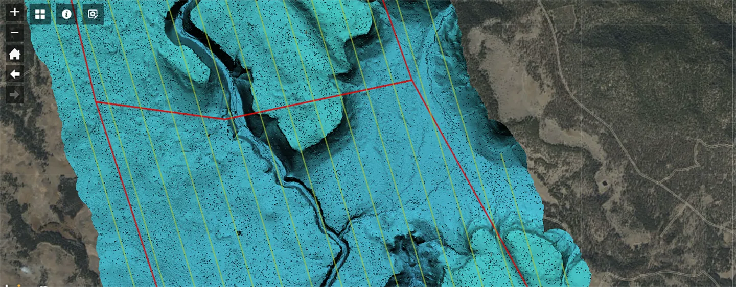 DimensionalView® is our GIS platform used to deliver projects by hosting spatial data and applications. Applications can contain detailed maps with layers from multiple sources, alongside charts, statistics, related media, and custom reports.
3D viewer will allow viewers to access and begin to use their data sooner, rather than having to wait for the entire dataset to be completed."James Parker
And should a client’s quality control (QC) check reveal any issues, the datasets must be returned for corrections the same way. The result is a back-and-forth process that takes copious amounts of time and gets quite expensive.
A More Efficient Solution
Our team is working on a way to make the process for clients to receive datasets faster and more convenient. This web-based three-dimensional (3D) viewer facilitates QC checks as the data is acquired and prepared. Clients can then transfer the finalized portions, also known as tiles, to a cloud-based server for storage and management in smaller segments. Along with eliminating physical shipping limitations, the new 3D viewer will allow viewers to access and begin to use their data sooner, rather than having to wait for the entire dataset to be completed. We’re fortunate to have a head-start in our development effort—DimensionalView®, our firm’s web-based project management tool is accessible by customers to monitor project progress and examine preliminary, 2D raster images of the collected data before it undergoes full processing. Even though DimensionalView® is a proven product, creating a fully functional 3D version for large GIS dataset access requires much more than simply adding some features.
Customizing DimensionalView for GIS Clients
We first need to understand the specifics of what to build and what exactly we want the application to do with the lidar data. Here again, we have the benefit of in-house experts with deep expertise with the technology, as well as a diversity of customers who can provide the user’s perspective. We’ll leverage these insights to identify the best software development technology or combination of technologies to build around. Security, performance, and cost will also be important considerations. That process will yield prototype applications that we can test and gradually build into a production-grade viewer. By early next year, we hope to enlist a current GIS client to assist with more advanced testing and final development, ultimately adding the viewer to our lidar suite of services. The 3D lidar viewer is a solution that clients want and need, especially on projects with time-sensitive elements. By delivering our data products in a way that’s easier to access, customers will be able to make more well-informed decisions with confidence.