Scientists have been predicting the dire consequences of sea level rise for decades, but we are now frequently seeing the tangible evidence of increasing flood events in our coastal communities. Resources such as the U.S. Sea Level Rise Report Cards, produced by the Virginia Institute of Marine Science and based on tide-gauge data, provide clear indicators of sea level heights that continue to rise along our coasts. No longer a distant scenario, allowing communities to defer resilience planning, the constant threat of coastal flooding has spurred many governments at the state and local levels to initiate hazard risk assessments and develop appropriate resilience measures and design guidelines.
Coastal communities are challenged not only by the predicted impacts of sea level rise, but by extreme heat and frequent heavy rainfall events as well, threatening both coastal development as well as inland areas. Climate change, combined with aging infrastructure and overburdened drainage systems that were not designed to withstand these events, has created extreme vulnerabilities in many coastal areas. Addressing these threats requires a long-term, interdisciplinary approach involving staff across multiple government agencies, together with planners, engineers, and community members.
Advances in Data Science
Fortunately, the urgent need for resilience planning coincides with considerable advances in the quality of climate models as well as the development of innovative green infrastructure measures to mitigate storm impacts. We are also seeing an increase in regional cooperative efforts led by state governments and planning district networks, which lead to significant economies of scale and cost savings.
Modeling and data science are proving to be essential tools in anticipating the potential impacts of climate change, enabling us to understand the physical processes that cause flooding at a regional or local scale. Many of these models would have been difficult to create just a few years ago, but now can be generated at a variety of scales with ease. Input from meteorologists, statisticians, data analysts, programmers, geospatial analysts, mitigation planners, engineers, and crowd-sourced data applications further enables us to assist communities with cost-benefit analyses and comprehensive resilience planning and solutions.
This whole-of-government approach, aligning community, state, and federal programs and addressing integration, equity, and funding, represents a historic effort to create a more resilient commonwealth and should prove instructive to other states and communities as they embark upon similar planning efforts.
Brian Batten
One example involves our work for the City of Virginia Beach. We performed an analysis to determine rainfall non-stationarity (addressing whether rainfall is the same or increasing), which confirmed that heavy rainfall events in the city were increasing. We then developed an ensemble of regional climate models to project future conditions. Information from this effort was incorporated into the city’s Public Works Design Guidelines and integrated into municipal stormwater models. The Virginia Department of Transportation conducted an independent study, which validated our findings. Subsequently, the state increased funding for an ongoing study of the Chesapeake Bay watershed to include future rainfall projections for all of Virginia, and joined with other states to update Atlas 14, a National Weather Service study of historical rainfall that is used for infrastructure design.
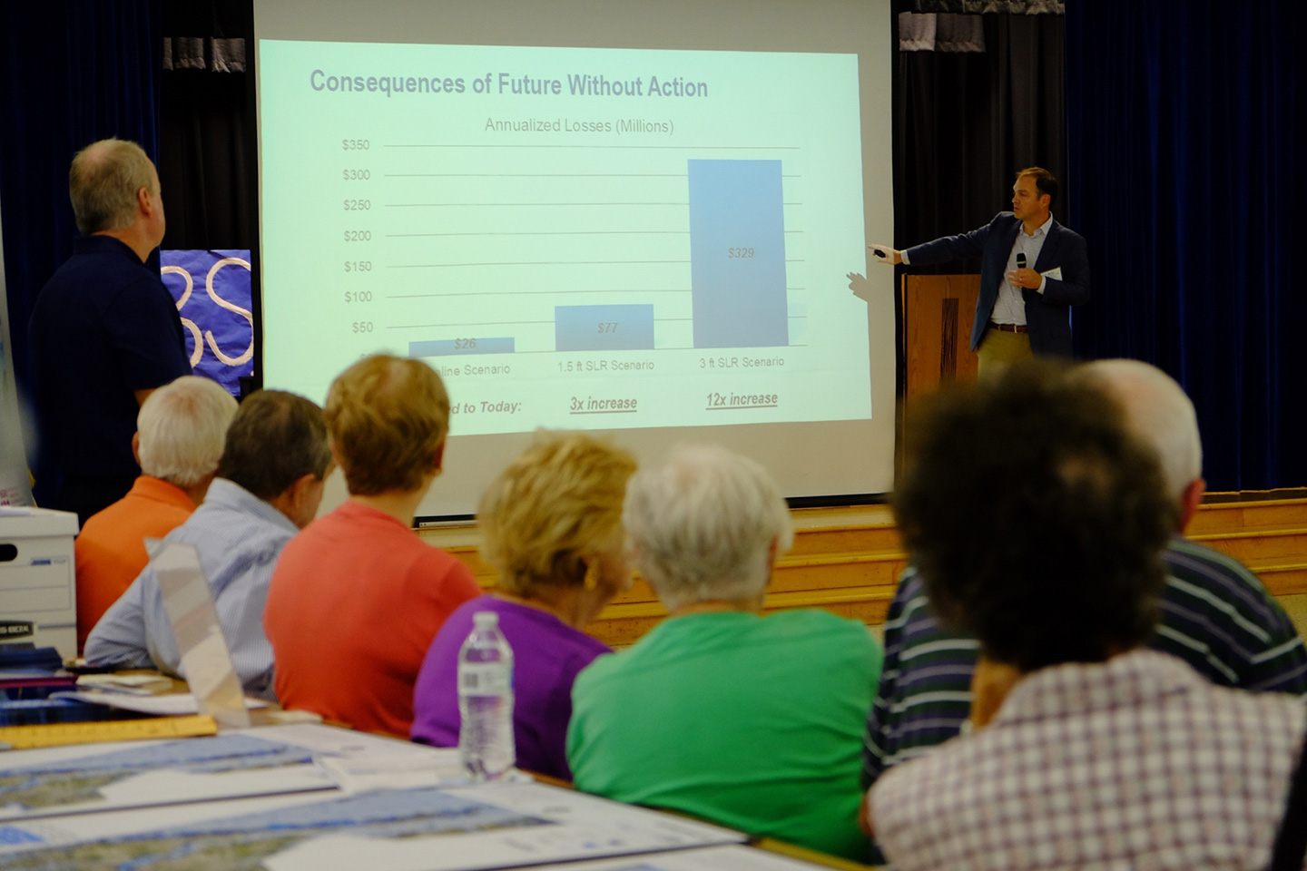
 I presented on sea level rise impact projections and adaptation options to Virginia Beach residents.
Equitable, Cost-Effective Solutions
We are currently at work on a Coastal Resilience Master Plan for Virginia, aimed at protecting communities, businesses, and infrastructure. This plan will recommend strategies that are equitable and cost-effective in addressing sea level rise and coastal flooding. Virginia is the third state in the nation to create such a plan, following the lead of Texas and Louisiana. This whole-of-government approach, aligning community, state, and federal programs and addressing integration, equity, and funding, represents a historic effort to create a more resilient commonwealth and should prove instructive to other states and communities as they embark upon similar planning efforts.