

Geospatial Solutions and Analytics
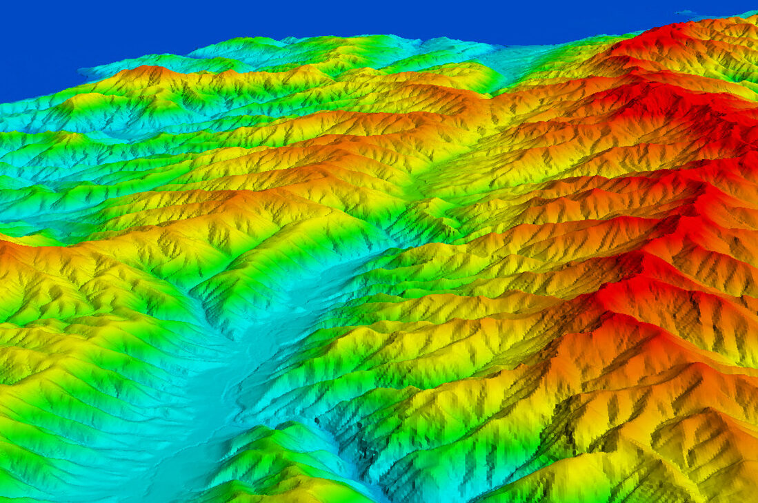
From optimizing urban planning to enhancing environmental sustainability and streamlining logistics, we leverage cutting-edge geospatial tools and methodologies to unlock valuable insights from spatial data.
Customizing Geospatial Solutions to Meet Specialized Needs
Our dynamic team of geospatial specialists are dedicated to helping clients get the most out of their spatial data and supporting technologies. With a portfolio that spans federal, state and local, and commercial clients, our commitment to innovation and excellence helps our clients harness the full power of location intelligence. Given that each of our clients have different budgets, priorities, and histories, we implement solutions within customer environments and offer hosted solutions using our geospatial platform, DimensionalView®.
Our team includes certified geographic information systems (GIS) professionals, project managers and scrum masters, cloud practitioners, surveyors, and solutions architects. We’re a long-standing Esri Gold Partner, although we remain vendor/technology agnostic to accommodate clients’ needs.
40+
years of geospatial and technical service experience
Our Projects
View a collection of project profile pages featuring our geospatial solutions and analytics work.
- Location
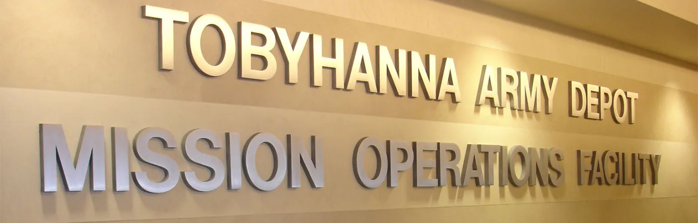
- Tobyhanna Army Depot, PA
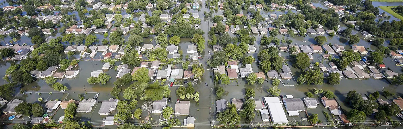
- Location
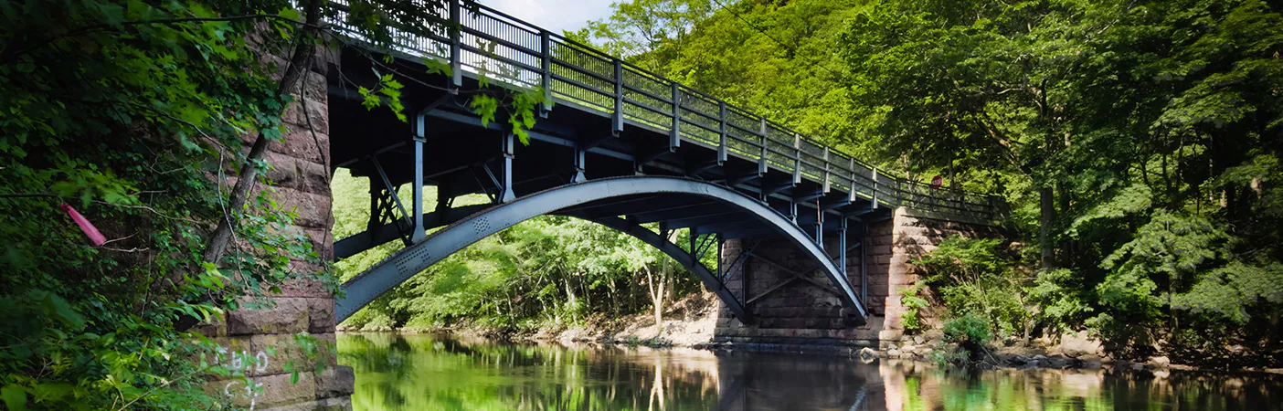
- Houston, TX
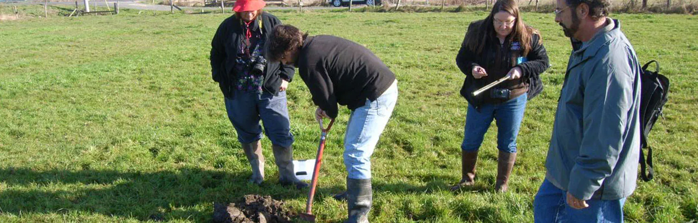
- Location
- Sacramento, CA
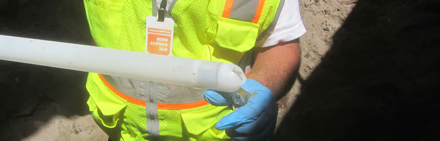
- Location
- New York, NY
- Location
- Nationwide
- Location
- Nationwide
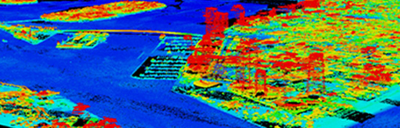
- Location
- Tampa, FL
- Location
- Puerto Rico
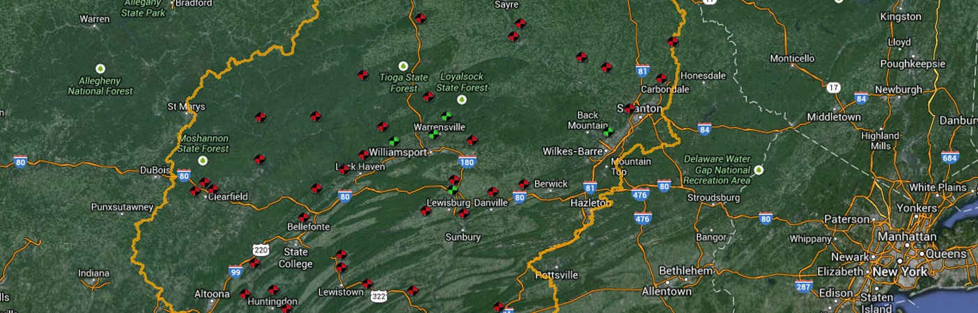
- Location
- Tioga County, NY
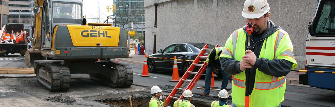
Specializations
- Application development
- Data analysis
- Data management
- Enterprise implementation
- Modeling
- Planning
- Resource digitalization
- Visualization
Markets
For Communities By Our People
Discover what Dewberry can do for you.
Our Markets
-
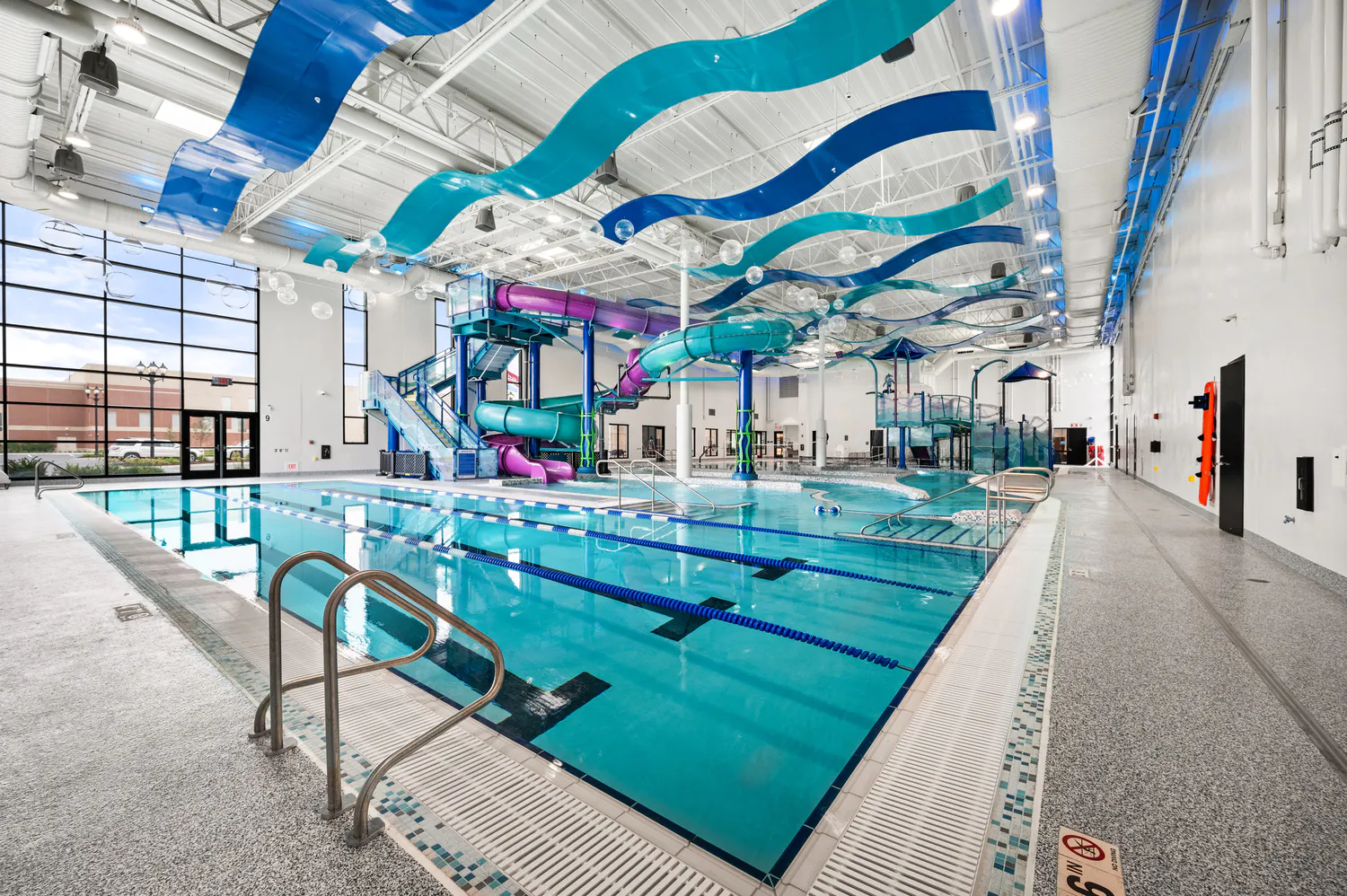
Community Facilities
For more than 60 years, we've helped our clients create civic buildings and structures that advance quality of life, well-being, and safety.
Explore Community Facilities -
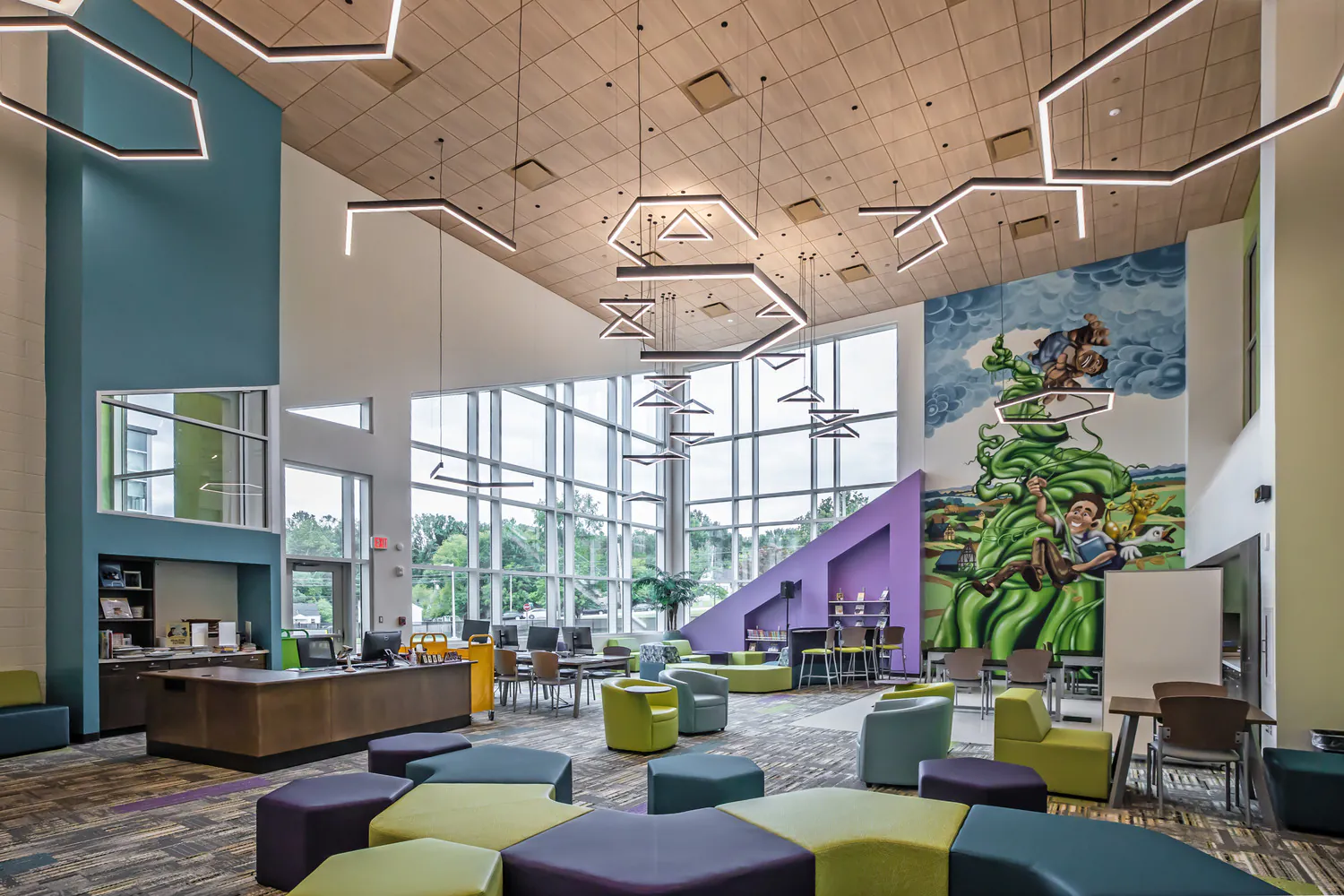
Education
Education is evolving, and the environments that support it must evolve too. Across pre-K-12, community colleges, and higher education campuses, we design campuses and dynamic learning spaces that foster collaboration, enhance experiences, and prepare students for the future.
Explore Education -
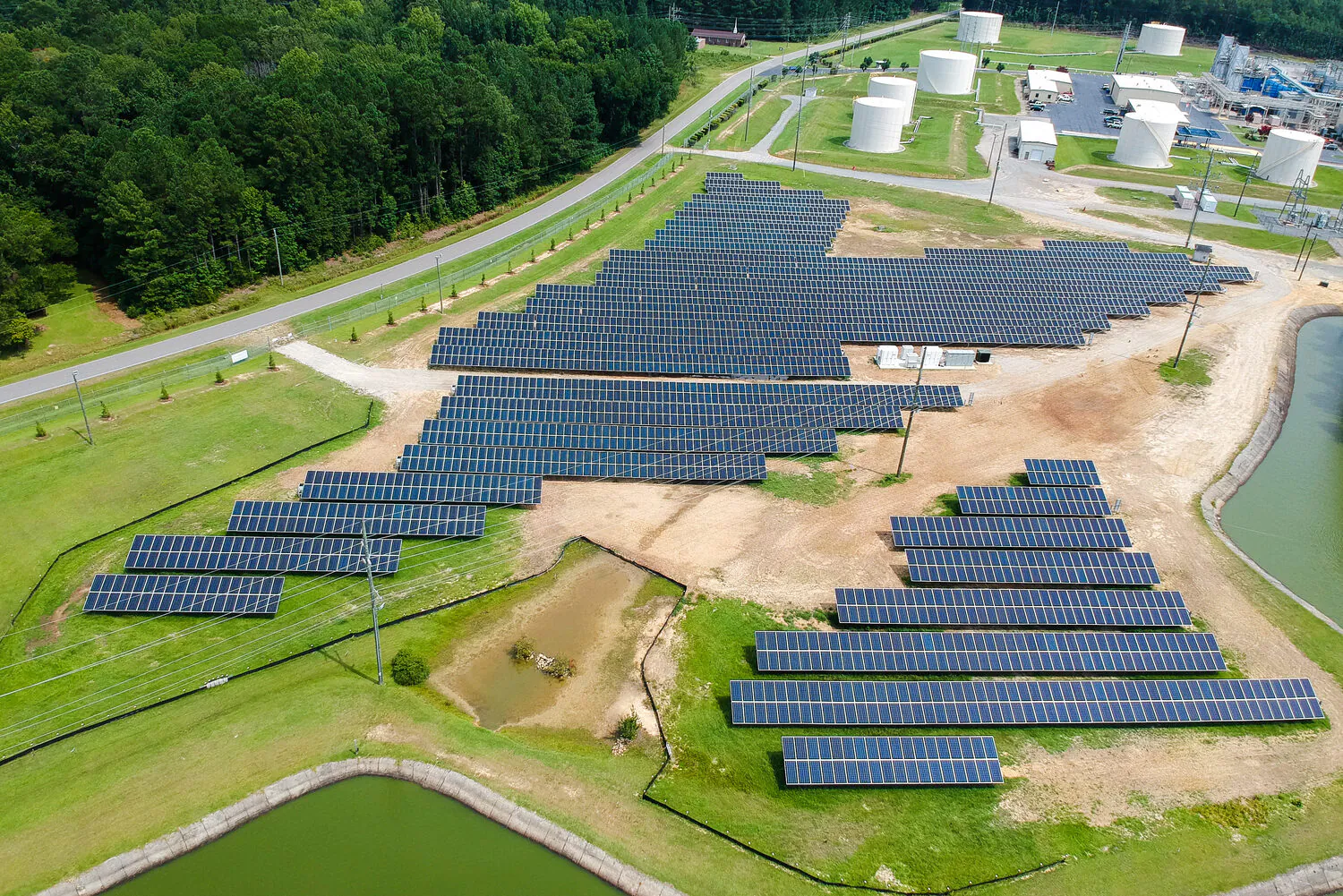
Energy
We support power generation, transmission, and renewable energy programs designed for reliability and the clean energy transition.
Explore Energy -
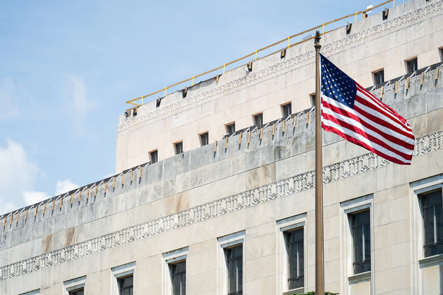
Federal
We excel in delivering projects of critical national importance. As a family-owned firm with more than 2,500 employees, we're large enough to provide the capabilities needed and small enough to focus on client service and project delivery.
Explore Federal -
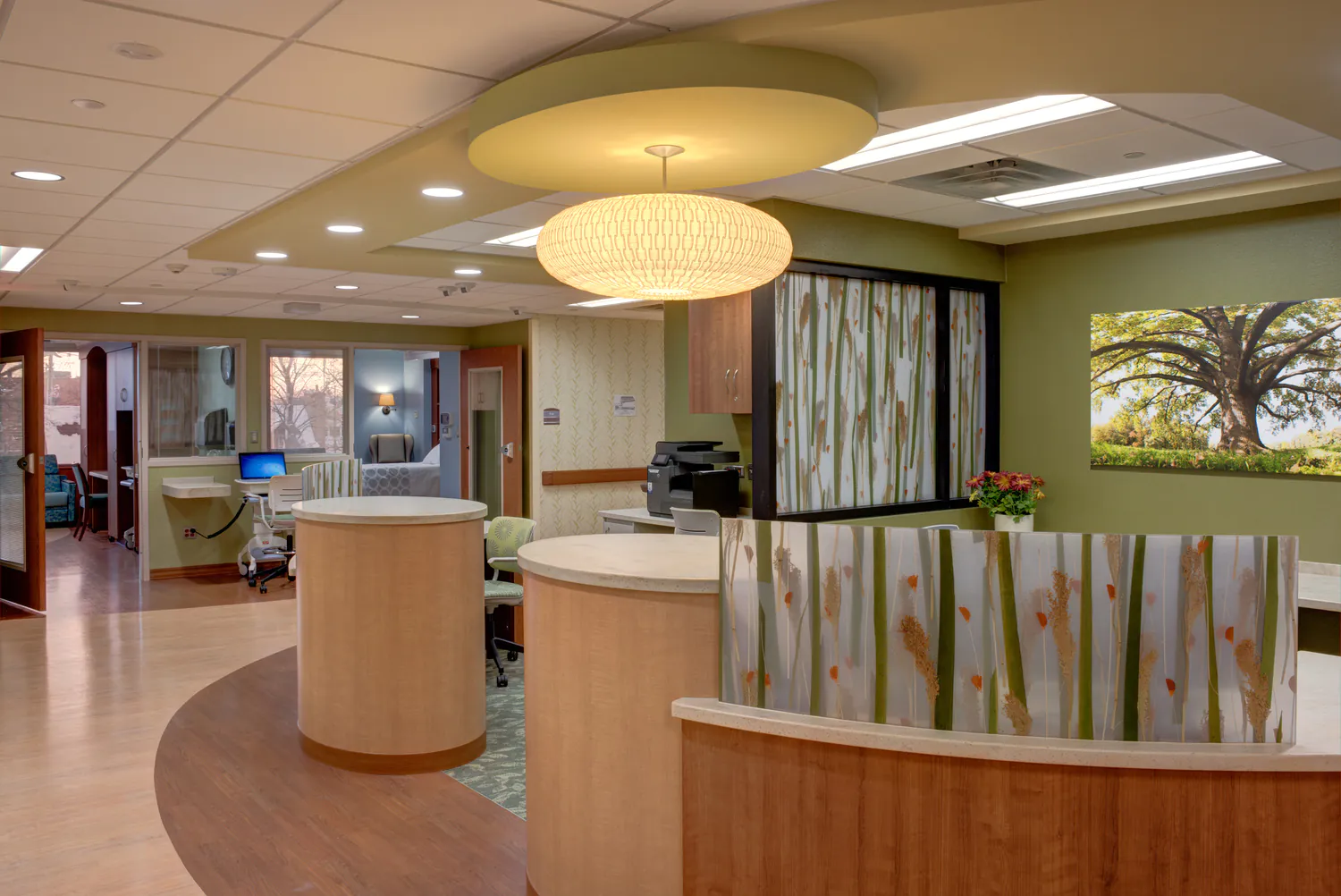
Health and Wellness
Our designs balance patient-centered care with operational efficiency, empowering providers to deliver crucial services to their communities.
Explore Health and Wellness -
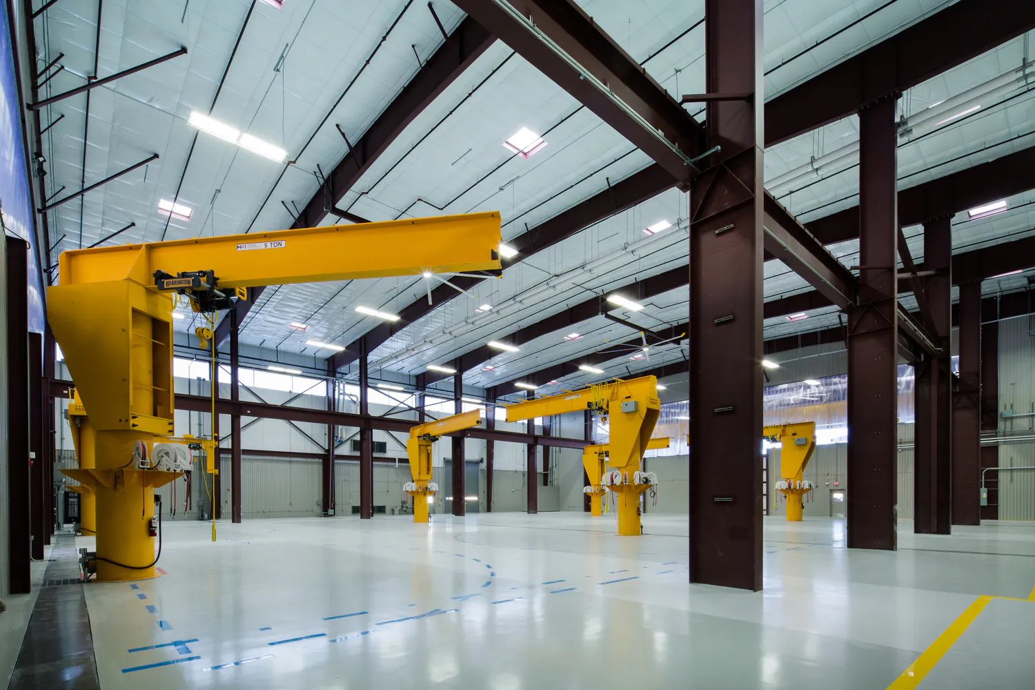
Industrial
We meet our clients at the intersection of their technical and regulatory needs to strengthen operations and drive sustainable economic growth.
Explore Industrial -
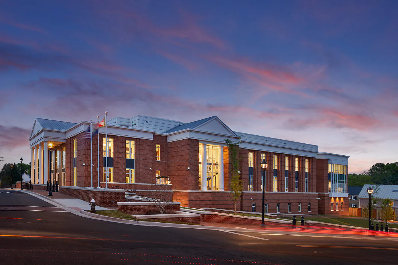
Justice
We are committed to transformative justice planning and design, focusing on the full spectrum of justice facilities, courthouses, behavioral health facilities, and secure housing.
Explore Justice -
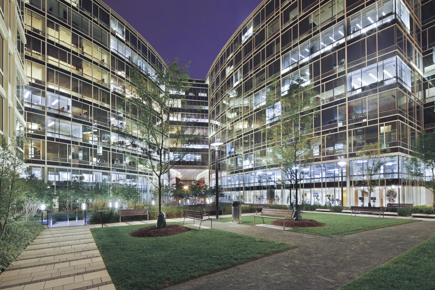
Real Estate and Commercial Development
We encourage community and stakeholder involvement, drawing on local knowledge, ideas, and aspirations to best understand the real and perceived market opportunities and constraints.
Explore Real Estate and Commercial Development -
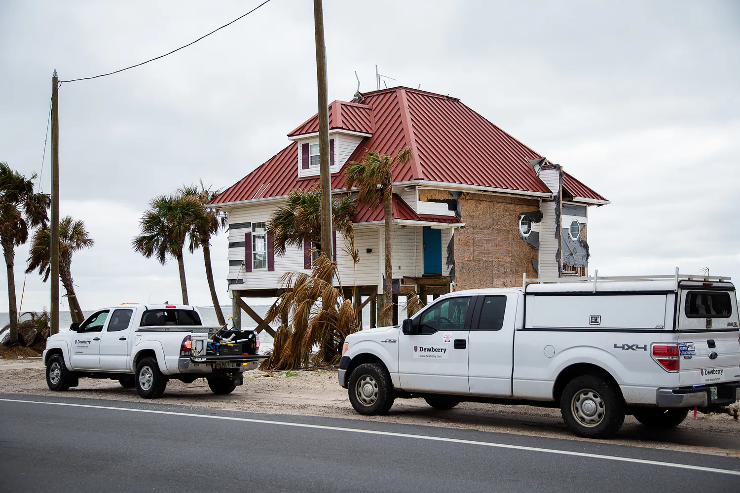
Risk, Response, Recovery, and Resilience
We help communities plan, prepare, and recover from disasters and changing climate impacts.
Explore Risk, Response, Recovery, and Resilience -
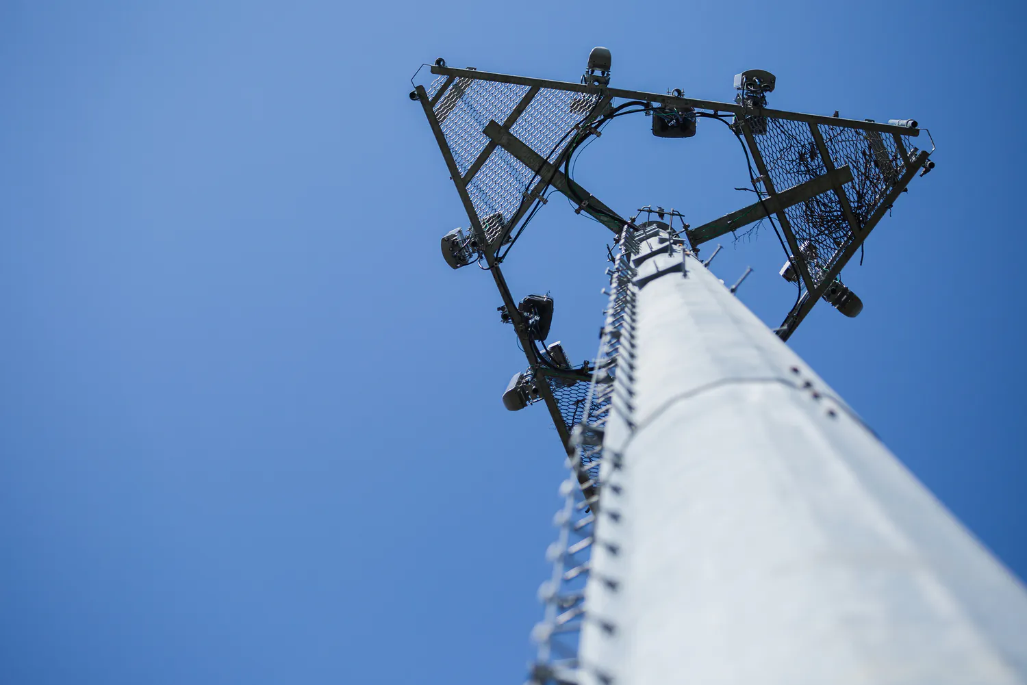
Telecommunications
We deliver turnkey solutions for wireless telecommunications infrastructure, optimizing for performance and reliability across a wide range of site types.
Explore Telecommunications -
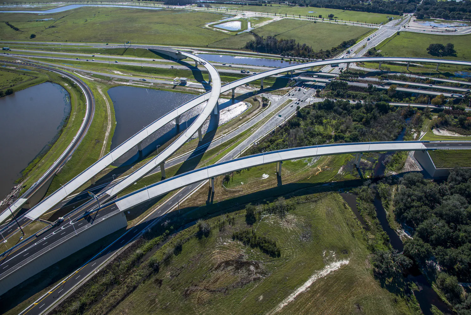
Transportation
With a commitment to safety and the efficient movement of people and goods, we approach each transportation project with technical excellence, quality, and cost-effective solutions.
Explore Transportation -
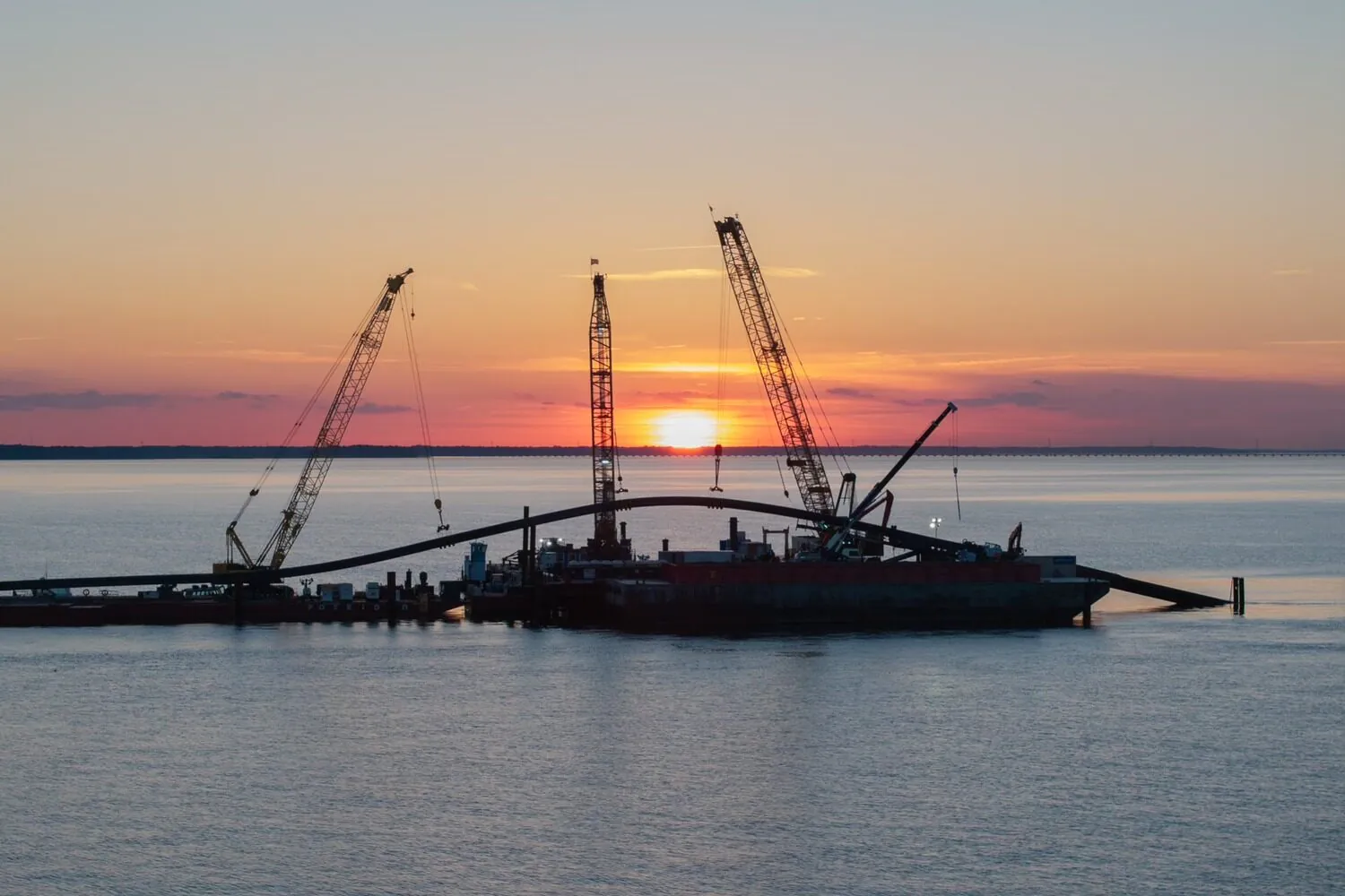
Water
Our water professionals combine deep technical experience with a client-focused approach. We deliver innovative, proven solutions to help solve today’s water challenges while improving quality of life for our clients and their customers.
Explore Water
Community Facilities
For more than 60 years, we've helped our clients create civic buildings and structures that advance quality of life, well-being, and safety.
Explore Community Facilities
Education
Education is evolving, and the environments that support it must evolve too. Across pre-K-12, community colleges, and higher education campuses, we design campuses and dynamic learning spaces that foster collaboration, enhance experiences, and prepare students for the future.
Explore Education
Energy
We support power generation, transmission, and renewable energy programs designed for reliability and the clean energy transition.
Explore Energy
Federal
We excel in delivering projects of critical national importance. As a family-owned firm with more than 2,500 employees, we're large enough to provide the capabilities needed and small enough to focus on client service and project delivery.
Explore Federal
Health and Wellness
Our designs balance patient-centered care with operational efficiency, empowering providers to deliver crucial services to their communities.
Explore Health and Wellness
Industrial
We meet our clients at the intersection of their technical and regulatory needs to strengthen operations and drive sustainable economic growth.
Explore Industrial
Justice
We are committed to transformative justice planning and design, focusing on the full spectrum of justice facilities, courthouses, behavioral health facilities, and secure housing.
Explore Justice
Real Estate and Commercial Development
We encourage community and stakeholder involvement, drawing on local knowledge, ideas, and aspirations to best understand the real and perceived market opportunities and constraints.
Explore Real Estate and Commercial Development
Risk, Response, Recovery, and Resilience
We help communities plan, prepare, and recover from disasters and changing climate impacts.
Explore Risk, Response, Recovery, and Resilience
Telecommunications
We deliver turnkey solutions for wireless telecommunications infrastructure, optimizing for performance and reliability across a wide range of site types.
Explore Telecommunications
Transportation
With a commitment to safety and the efficient movement of people and goods, we approach each transportation project with technical excellence, quality, and cost-effective solutions.
Explore Transportation
Water
Our water professionals combine deep technical experience with a client-focused approach. We deliver innovative, proven solutions to help solve today’s water challenges while improving quality of life for our clients and their customers.
Explore Water