Texas Coastal Outreach
Keeping Communities Informed

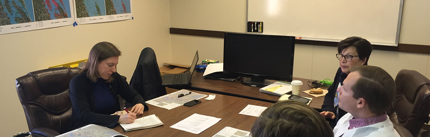
We are assisting in storm surge update meetings, workshops, and flood risk open houses to update community officials and the public on project progress.
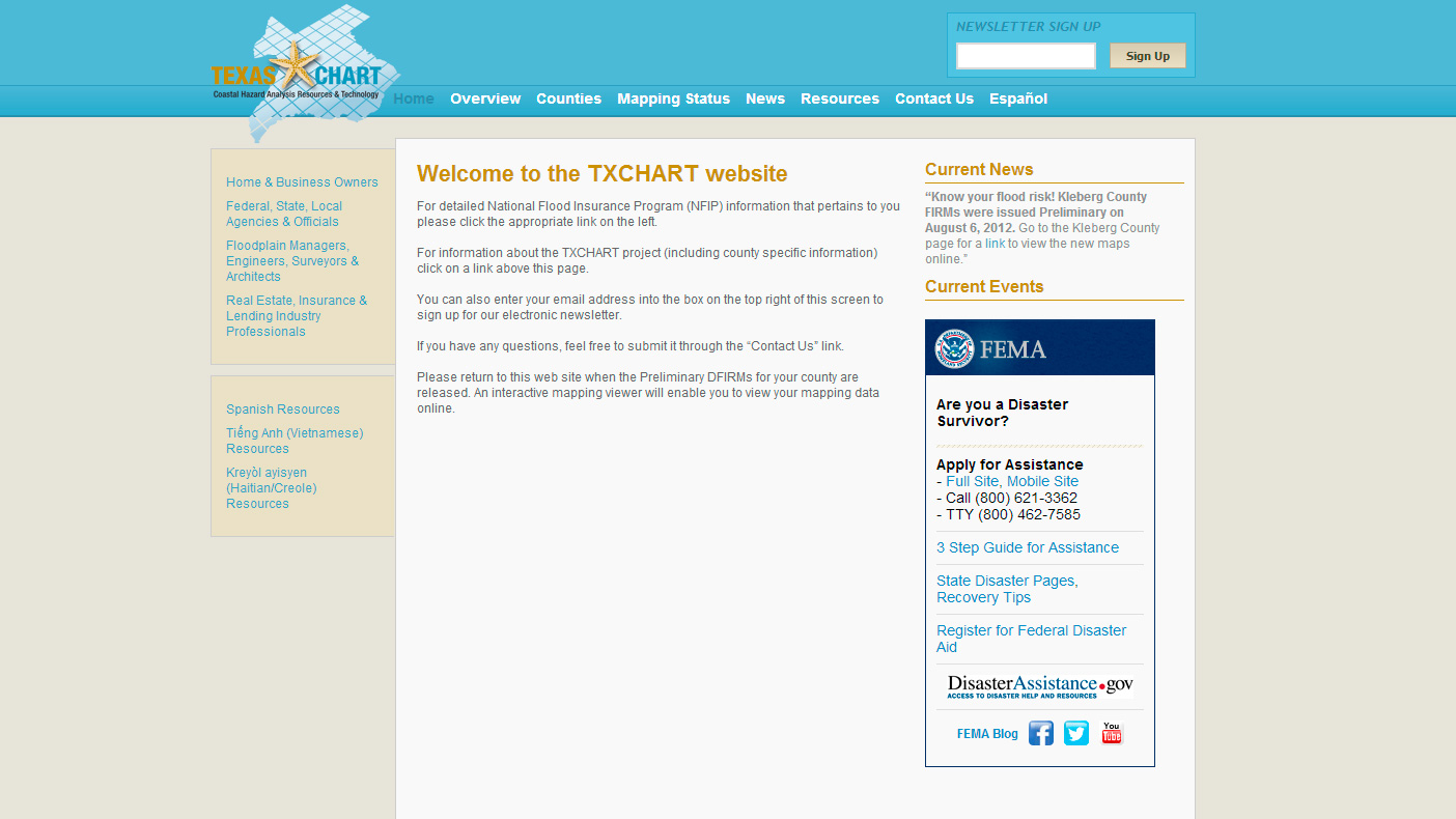
The TXCHART project results include a website that provides a project newsletter as well as a sign-up for users to receive email updates.
- Client
- FEMA Region VI
- Location
- Texas
- Services
- Geospatial, Mapping, and Survey
- Region
- Southwest
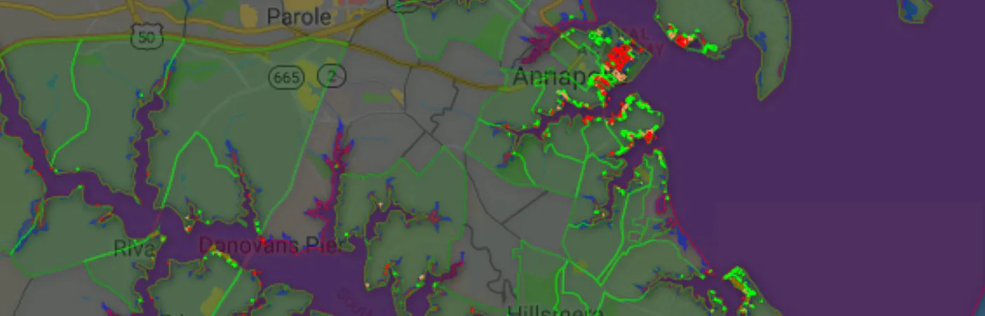
The Texas Coastal Hazard Analysis Resources and Technology (TXCHART) project is part of FEMA’s Risk MAP program, a national effort to integrate flood hazard identification and analysis with risk communication. Contracted under FEMA Region 6, we are using updated data from new storm surge and riverine models to reach out to various stakeholders in order to help them better understand their risks and take action to reduce it. When communities are properly informed they are safer and better enabled to recover more rapidly from floods and other disasters.
Related Projects
- Location
- Gaithersburg, MD

- Location
- New York, NY
- Location
- New York, NY
- Location
- Nationwide

- Location
- New York, NY
- Location
- Tobyhanna Army Depot, PA
- Location
- Tampa, FL
- Location
- Houston, TX
- Location
- Sacramento, CA
- Location
- GA
- Location
- Nationwide
- Location
- New York, NY