August 6, 2020
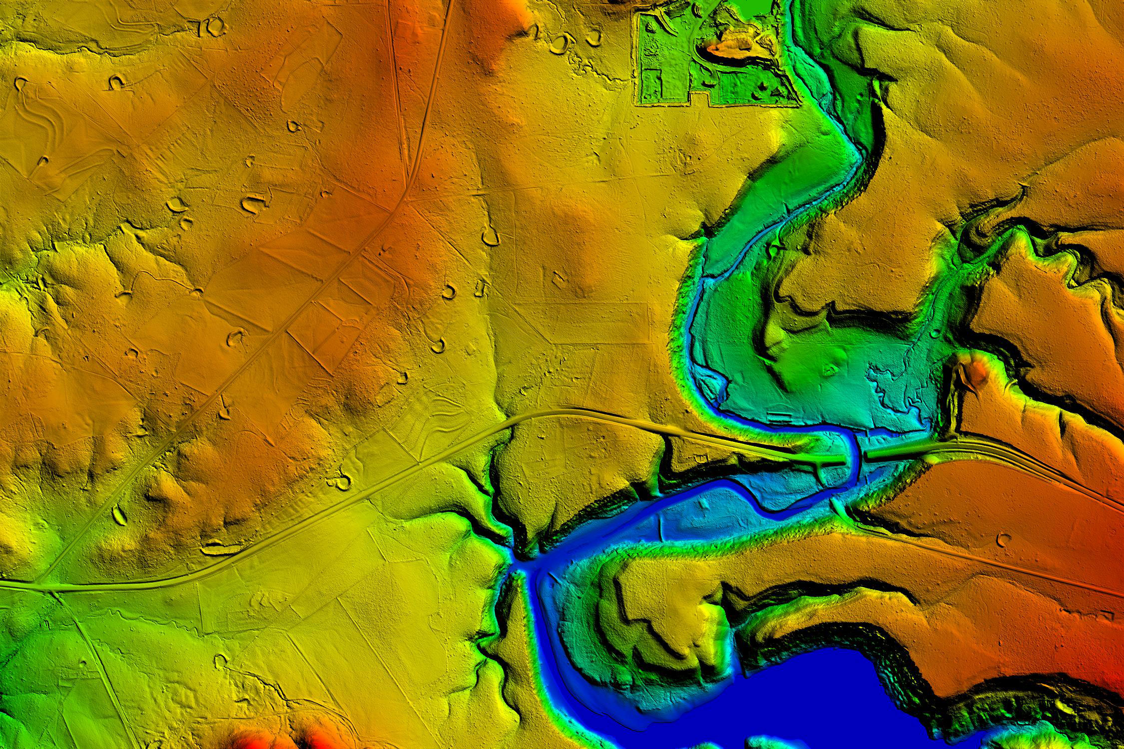
Firm named during 2020 GeoWeek virtual event.

Discover project, people, and trend insights and news, shared as videos, publications, press releases, podcasts, and blogs.
260 insights
August 6, 2020
Firm named during 2020 GeoWeek virtual event.
July 10, 2020
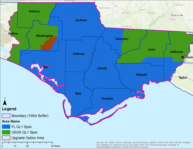
Firm to provide data for U.S. Geological Survey following widespread impacts of Hurricane Michael.
May 27, 2020
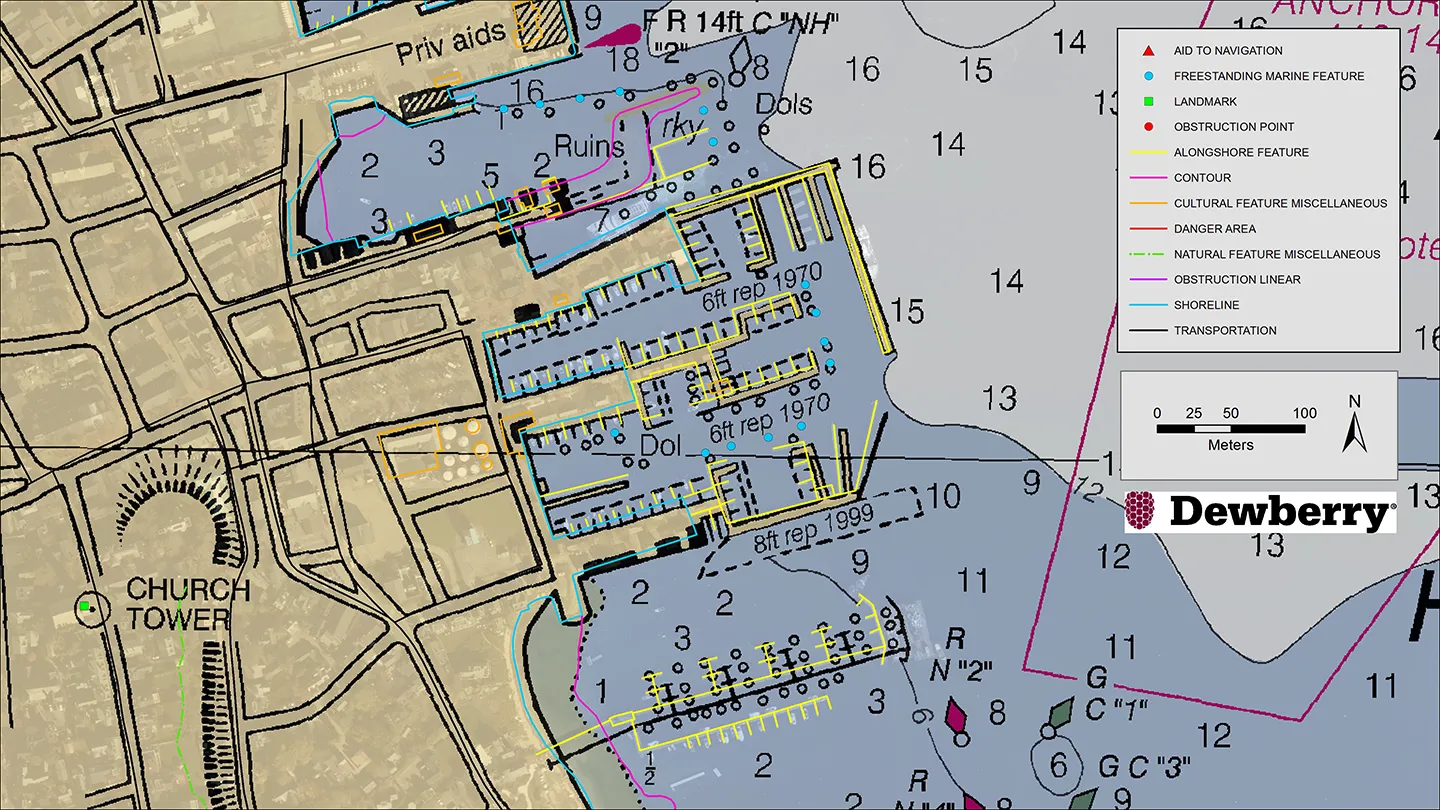
Firm continues support under new five-year IDIQ.
April 1, 2020
This article explores the economic impact of the U.S. Geological Survey’s 3-D Elevation Program and our involvement in its development.

March 19, 2020
For most people in the U.S., water is something that comes out their taps, and they pay very little attention to it unless there is a storm and suddenly they are flooded, or there is a drought and suddenly they can no longer water their lawns. But to stormwater engineers and water resource…
March 5, 2020
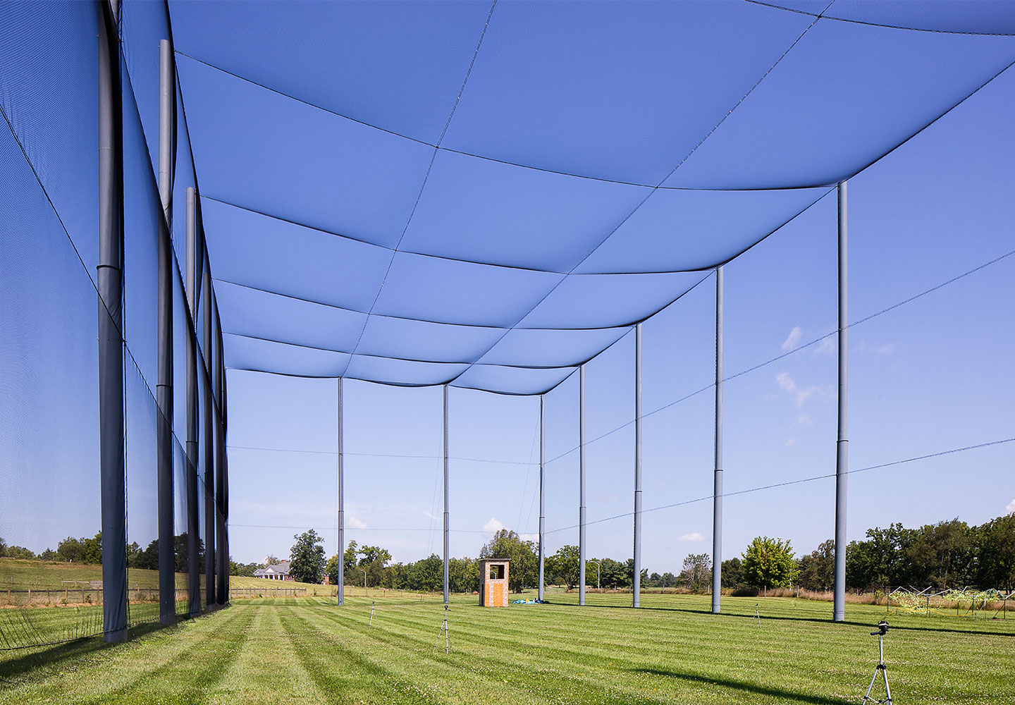
Our world looks to technology as a catalyst for future possibilities, but these possibilities can’t be realized unless they are put into practice. To that point, Virginia Polytechnic Institute and State University (Virginia Tech), located in Blacksburg, Virginia, wants to foster an environment for…
February 13, 2020
Cathy Barnette and Daniel Calametti
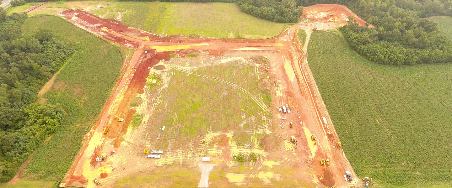
At some point or another—or sometimes, on numerous occasions—all land and site development projects require stormwater design and inspections. As is the case with most areas of engineering and technical design, technology to support stormwater system inspections is advancing. One of these ways is…

February 1, 2020
Alvan Karlin
Alvan Karlin discusses a massive lidar project that is collecting and updating Florida’s topology data which will help to inform decision making in mitigating the impact of hurricanes and other natural disasters. He also delves into the project’s challenges, advantages, and contributions to the…

January 30, 2020
Andrew Peters
Most lidar projects are big—really big. From the 1,200-square-mile coverage of the Everglades National Park in Florida to almost 42,000 square miles in Texas, our firm has worked on multiple large projects with the U.S. Geological Survey (USGS) with varying scope and scale. A more recent project…
December 19, 2019
Project includes acquisition and processing of lidar and photogrammetric data.
April 3, 2019
Dave Maune
Dr. Dave Maune discusses mapping the state of Alaska to National Map Accuracy Standards for the first time using advanced mapping technology including interferometric synthetic aperture radar (IFSAR). In his article, he outlines how Dewberry identified and overcame existing mapping challenges…

March 21, 2019
Seth Lawler
In 2007, a group of friends in Silicon Valley launched a start-up for hosting computer code on a website that could be shared openly, with minimally restrictive use policies. The site, GitHub, functions like a social network for coders, where pictures of last night’s dinner are replaced with lines…
Discover how our values, solutions, and years of experience come together to shape the built environment for our communities.


Our annual review and corporate social responsibility report, in one place.


Media and trade publications are permitted to use “Dewberry” as a shorthand to reference a particular Dewberry company. Third parties are not permitted to use Dewberry’s federally registered trademarks without Dewberry’s written consent.