

Lidar for Floodplain Models: A Project in Florida
Alvan Karlin discusses a massive lidar project that is collecting and updating Florida’s topology data which will help to inform decision making in mitigating the impact of hurricanes and other natural disasters. He also delves into the project’s challenges, advantages, and contributions to the U.S. Geological Survey’s 3D Elevation Program.
By Alvan Karlin
Published in xyHt Magazine, February 2020.
Read the Full Article (opens in a new tab)

Related Insights
November 16, 2026
Adapting Tide Gates to Rising Seas and Increasing Rainfall
Ashok Khadka and Rahul Parab
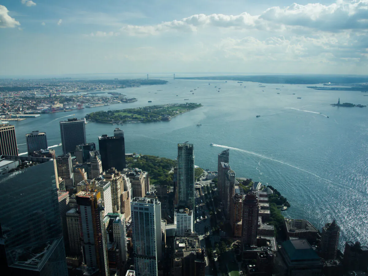
In this article, Ashok Khadka, PE, and Rahul Parab, PE, D.WRE, CFM, and New York City Department of Environmental Protection's (NYCDEP) Doug Greeley highlight a recent study conducted for the NYCDEP that evaluated the vulnerability of two Staten Island tide gates to extreme weather events and sea…
August 26, 2026
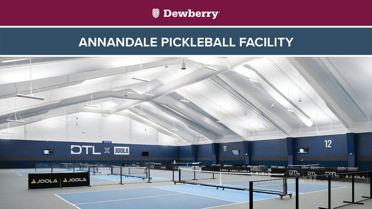
Our firm renovated a former sports center in Annandale, Virginia, into a modern, two-story sports complex with pickleball courts, golf simulators, a fitness center, and other amenities. With these updates, the space once again supports an active lifestyle for the community. We provided full…

July 31, 2026
Firm selected for $49-million MATOC to provide responsive emergency action.
Dimensions®
Our annual review and corporate social responsibility report, in one place.