November 20, 2020
Resource Team Lead Seng Chan explains the FEMA flood map regulatory process in less than 90 seconds.

Discover project, people, and trend insights and news, shared as videos, publications, press releases, podcasts, and blogs.
208 insights
November 20, 2020
Resource Team Lead Seng Chan explains the FEMA flood map regulatory process in less than 90 seconds.
November 19, 2020
Project Manager Rob Snow explains individual assistance in about 90 seconds.
November 19, 2020
Project Manager Jarrett Mattli explains risk map products in less than 90 seconds.

November 5, 2020
Program participants support federal and state/local clients.
October 29, 2020
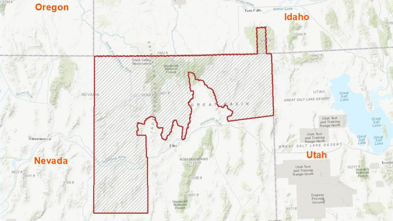
Data acquisition and processing part of firm’s USGS GPSC contract.
October 28, 2020
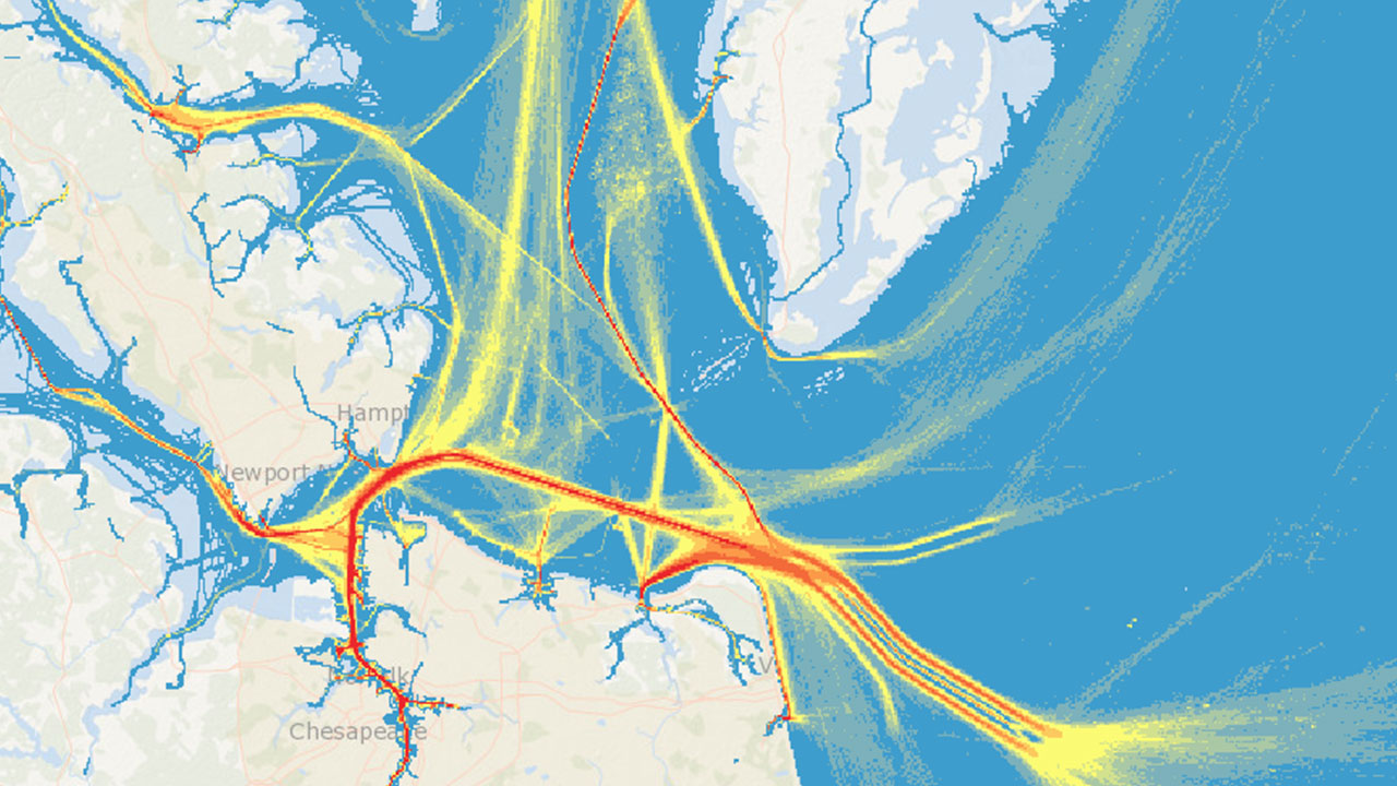
New delivery system to provide access to area of interest within specified date range and geographic extent.
October 7, 2020
Firm providing emergency support to assist in agency’s response and recovery efforts.
October 7, 2020
The firm will analyze 3-D elevation data requirements and benefits for the National Oceanic and Atmospheric Administration and the U.S. Geological Survey.
October 7, 2020
Project encompasses 3,429 square miles in support of USGS 3DEP, Mendocino County, and FEMA’s Risk MAP program.
October 7, 2020
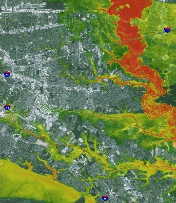
Specialists support FEMA in response to Louisiana flooding and East Coast hurricanes.
October 7, 2020
The firm will focus on analyzing emerging management trends.

October 7, 2020
The firm welcomes its third training with industry fellow.
Discover how our values, solutions, and years of experience come together to shape the built environment for our communities.
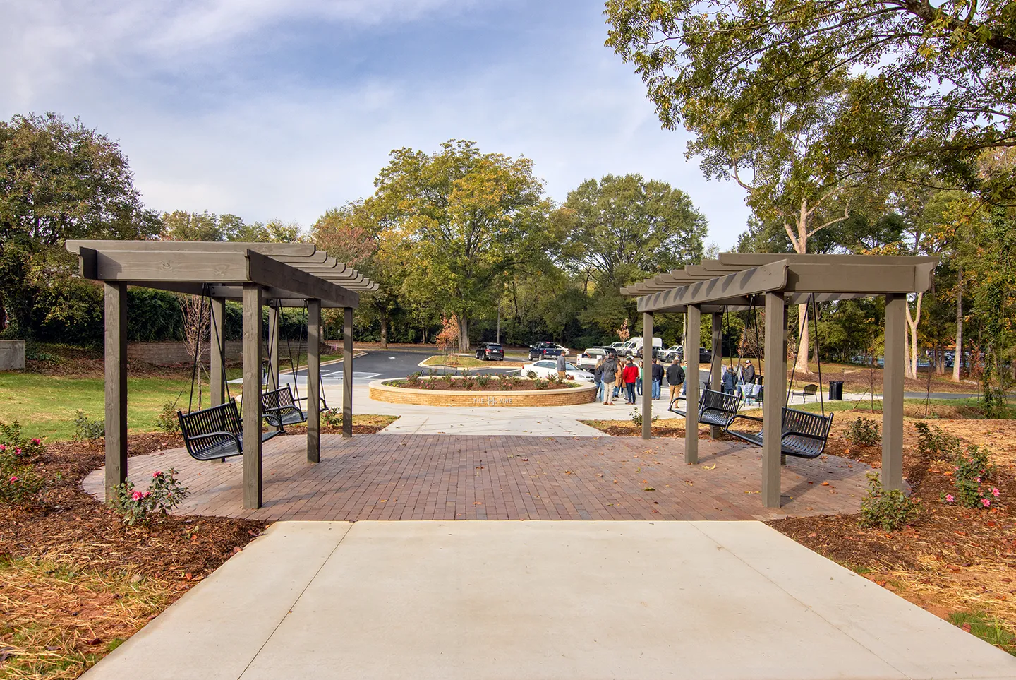

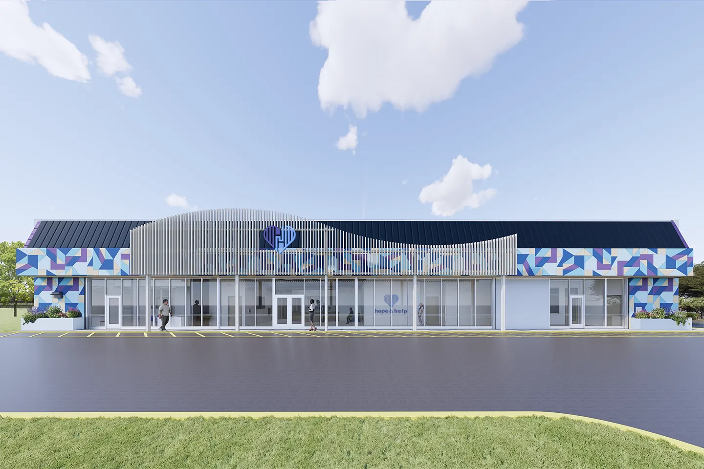



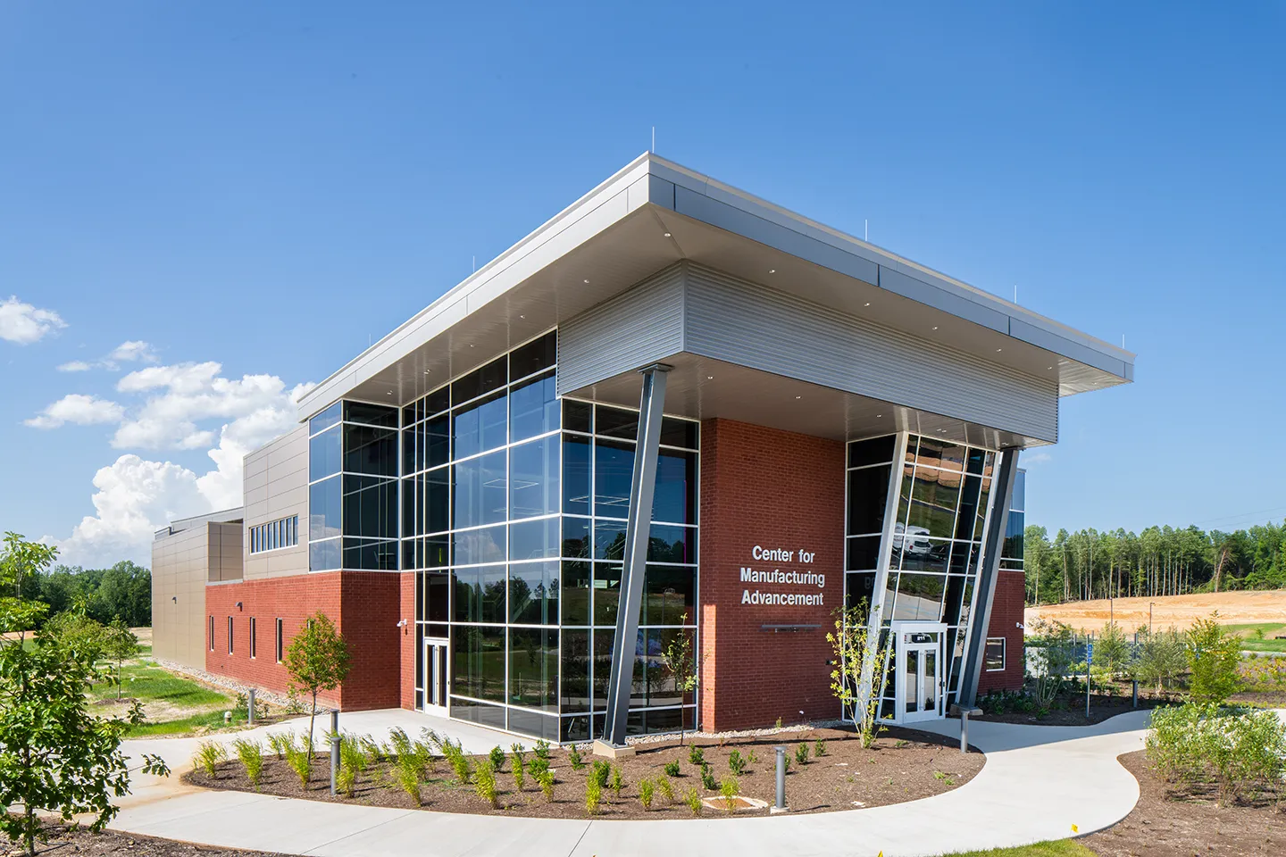


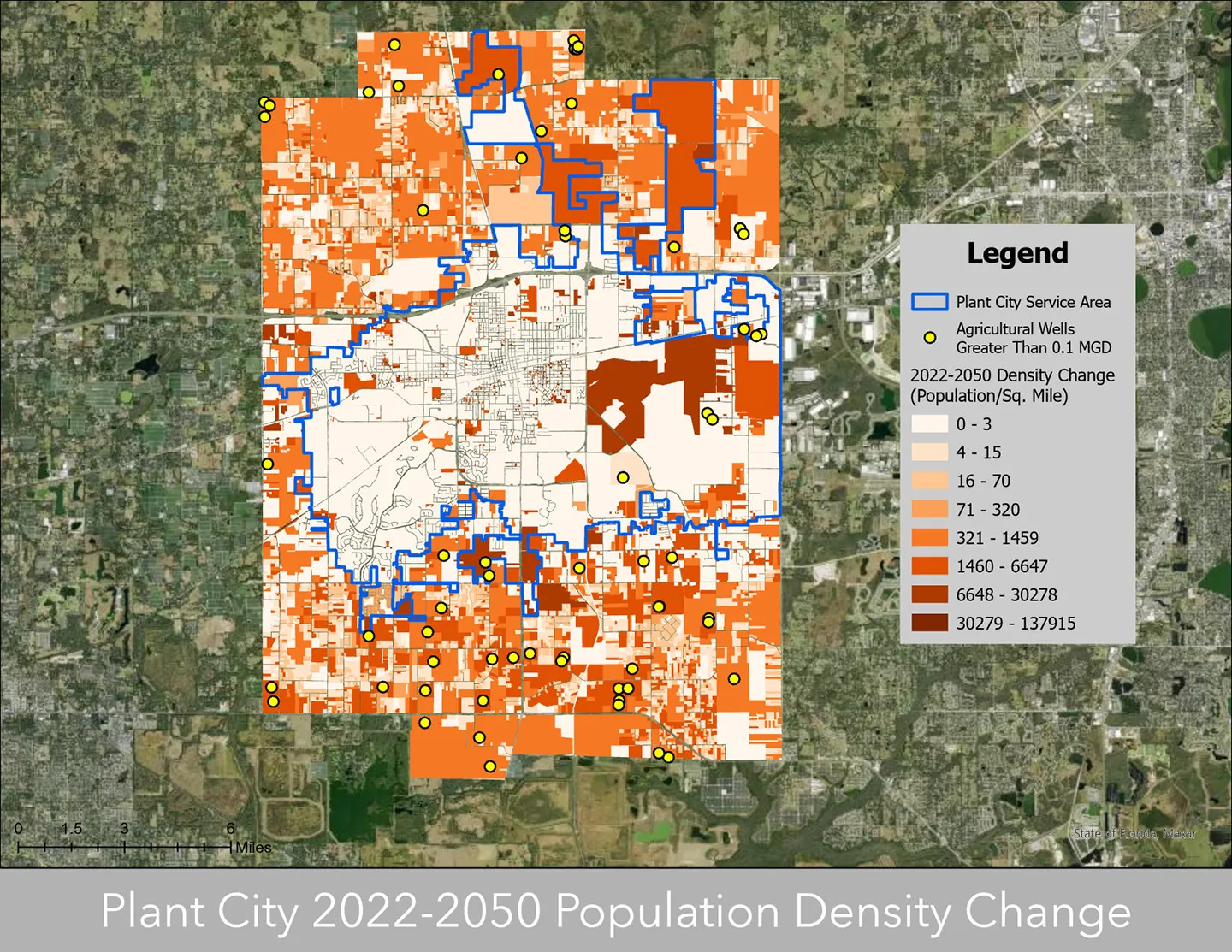

Our annual review and corporate social responsibility report, in one place.







Media and trade publications are permitted to use “Dewberry” as a shorthand to reference a particular Dewberry company. Third parties are not permitted to use Dewberry’s federally registered trademarks without Dewberry’s written consent.