Skip to Content

Geospatial Industry Expert Travis Hardy Joins Dewberry in Northern Virginia

Firm welcomes Hardy as associate vice president and senior program manager in Fairfax, Virginia, office.

Travis Hardy

Dewberry announced that Travis Hardy has joined the firm as an associate vice president
and senior program manager in its geospatial group. He is based in the firm’s
Fairfax, Virginia, office.

Hardy joins the firm with more than 17 years of
experience in the corporate and federal markets. He has managed teams of
technical staff to market, sell, and deliver solutions for clients in the
private and public sectors. Prior to joining Dewberry, Hardy spent five years
working as a principal overseeing the geospatial practice for Ardent Management
Consulting in the Washington, D.C., metro area, supporting federal, civilian,
and defense customers.

“We’re very excited to welcome Travis to the firm,”
says Dewberry Vice President and Director of Remote Sensing Amar Nayegandhi, CP,
CMS, GISP. “As our nation faces an expanding set of complex engineering
challenges, we are well-equipped to provide our clients with a better
understanding of how to overcome their specific challenges using geospatial
technologies, and that expertise is only bolstered with the addition of
Travis.”

Hardy earned a master’s degree in systems engineering
management from George Washington University (2011) and a bachelor’s degree in
geography from Virginia Tech (2001). In 2010, Hardy co-authored a chapter of
the Manual of Geospatial Science and
Technology
, second edition, titled “Emerging Markets for Satellite and
Aerial Imagery.”

Related Insights

Aerial view of New York City skyscrapers, Hudson River, and Statue of Liberty on a sunny day with scattered clouds

November 16, 2026

In this article, Ashok Khadka, PE, and Rahul Parab, PE, D.WRE, CFM, and New York City Department of Environmental Protection's (NYCDEP) Doug Greeley highlight a recent study conducted for the NYCDEP that evaluated the vulnerability of two Staten Island tide gates to extreme weather events and sea…

Publication

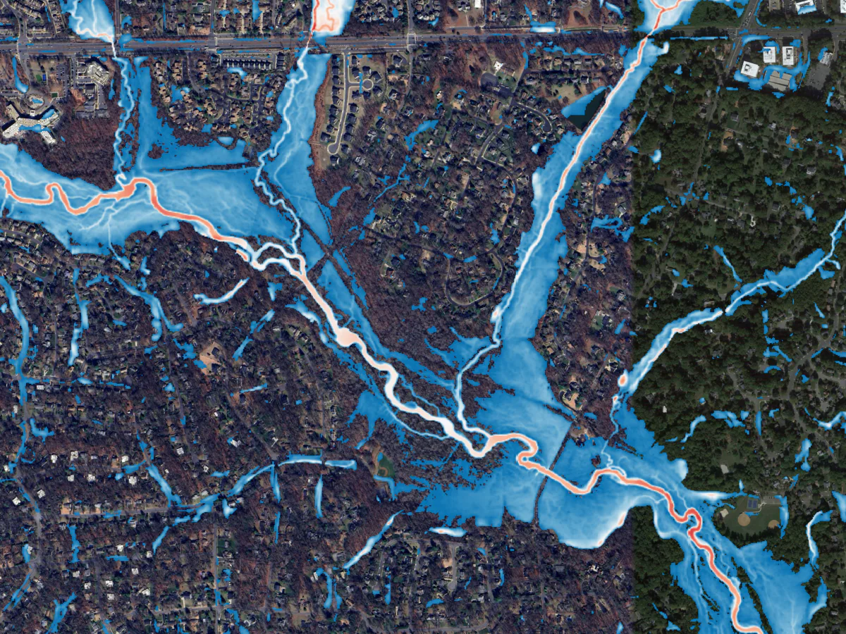
Aerial view of a flood map overlay highlighting potential flood zones in a densely populated suburban area

November 16, 2026

In this Critical Path podcast episode for Engineering News-Record, Brian Batten, PhD, CFM, and Stuart Geiger, CFM, discuss their team’s effort to develop comprehensive rainfall models for approximately 15,000 square miles of Virginia’s coast in just a few months. They explore the extensive process…

Podcast

Media Contact

Molly Johnson

Molly Johnson

Chief Communications Officer

View Media Fact Sheet

Media and trade publications are permitted to use “Dewberry” as a shorthand to reference a particular Dewberry company. Third parties are not permitted to use Dewberry’s federally registered trademarks without Dewberry’s written consent.