
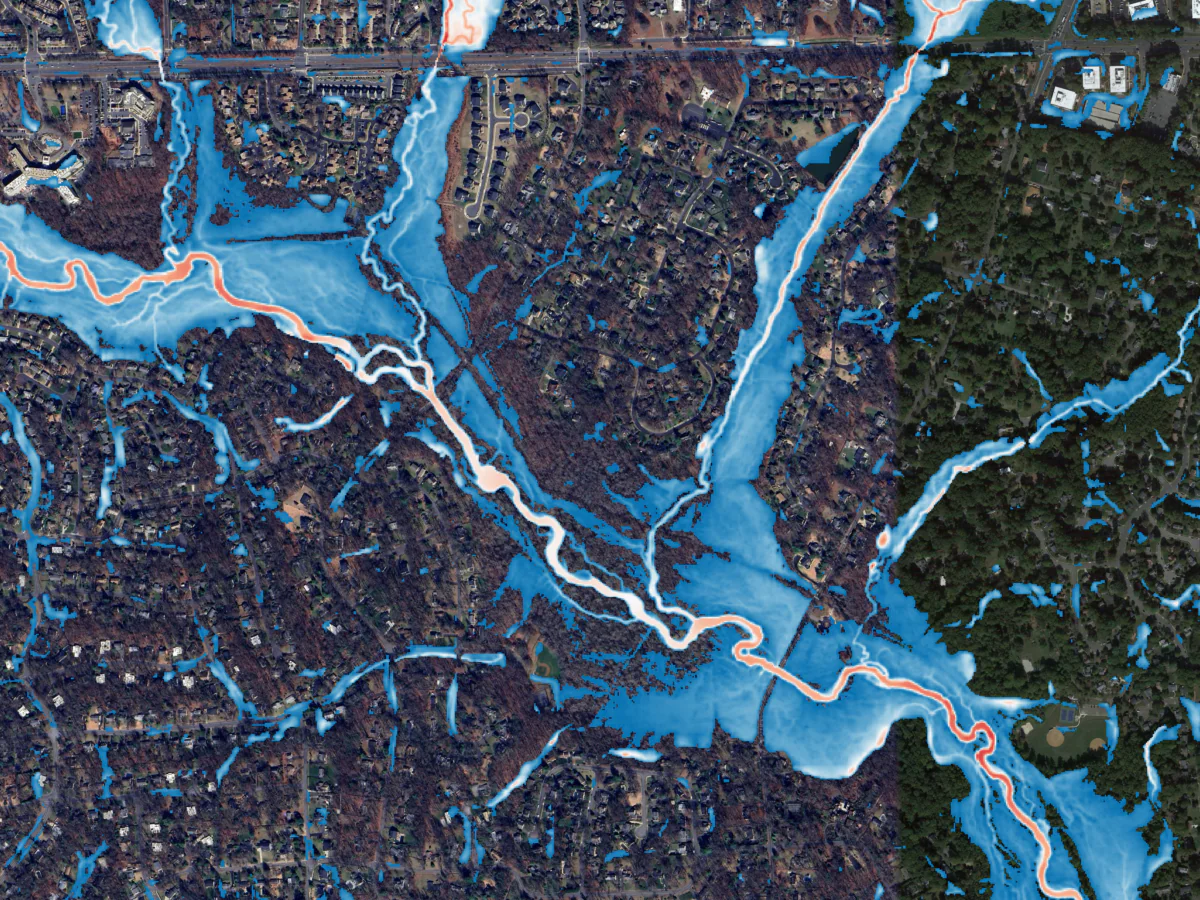
Brian Batten and Stuart Geiger Talk Coastal Flood Mapping
In this Critical Path podcast episode for Engineering News-Record, Brian Batten, PhD, CFM, and Stuart Geiger, CFM, discuss their team’s effort to develop comprehensive rainfall models for approximately 15,000 square miles of Virginia’s coast in just a few months. They explore the extensive process behind the effort, from initial pilot projects to the accelerated delivery of the models, and how this information is now publicly available to support risk identification, assessment, and mitigation for Virginia’s coastal communities and beyond.
By Brian Batten and Stuart Geiger
Published in Engineering News-Record Critical Path Podcast, November 2026.
Listen to the Podcast (opens in a new tab)

Related Insights

November 16, 2026
Adapting Tide Gates to Rising Seas and Increasing Rainfall
Ashok Khadka and Rahul Parab
In this article, Ashok Khadka, PE, and Rahul Parab, PE, D.WRE, CFM, and New York City Department of Environmental Protection's (NYCDEP) Doug Greeley highlight a recent study conducted for the NYCDEP that evaluated the vulnerability of two Staten Island tide gates to extreme weather events and sea…
November 16, 2026
When approaching a new development, owners want to understand what’s possible, what constraints exist, what it will cost, and what challenges may arise throughout the...

October 15, 2026
Firm to provide cost engineering services for CBP’s Office of Facilities and Asset Management.
Dimensions®
Our annual review and corporate social responsibility report, in one place.