Skip to Content

Dewberry Selected to Evaluate Flood Risk Management Project Alternatives for the U.S. Army Corps of Engineers Mobile District

Firm to analyze six design alternatives along creek and tributaries.

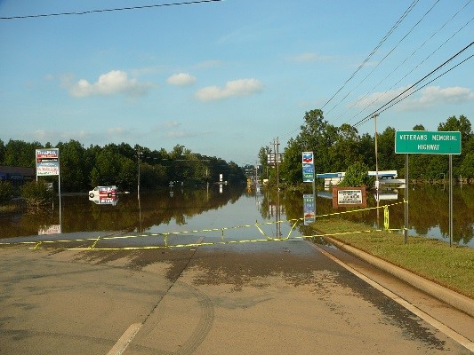
Sweetwater Creek has a long history of flooding, including a 2009 storm event.

Sweetwater Creek has a long history of flooding, including a 2009 storm event.

Dewberry has been selected by the U.S. Army Corps of Engineers (USACE) Mobile District to support a flood risk management feasibility study that aims to quantify flood risks and related flooding issues associated with the Sweetwater Creek Watershed, and to identify potential projects to reduce flood risks. The Sweetwater Creek basin, located in portions of Cobb, Douglas, and Paulding Counties, Georgia, is approximately 260 square miles and drains southeast, discharging into the Chattahoochee River. This basin has a history of severe flooding, including a historic flood event in September 2009 that caused extensive damage throughout portions of Cobb County.

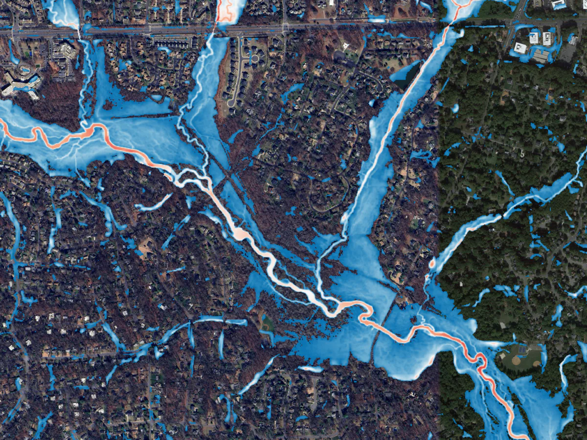
Dewberry is developing hydrologic and hydraulic models for roughly 75 miles of stream. The models are being developed using the USACE Hydrologic Engineer Center’s (HEC) modeling suite to enable a direct comparison of potential flood mitigation project benefits. A key piece of software being implemented is the HEC’s new Watershed Analysis Tool (HEC-WAT), which provides a framework for integrated modeling and assessment of project alternatives. Historic events, including the July 2005 and September 2009 floods, will be used to calibrate the models and demonstrate the potential project benefits. The firm is analyzing six design alternatives along Sweetwater Creek and its tributaries, including channelization, retention, and diversion structures.


Related Insights

Aerial view of New York City skyscrapers, Hudson River, and Statue of Liberty on a sunny day with scattered clouds

November 16, 2026

In this article, Ashok Khadka, PE, and Rahul Parab, PE, D.WRE, CFM, and New York City Department of Environmental Protection's (NYCDEP) Doug Greeley highlight a recent study conducted for the NYCDEP that evaluated the vulnerability of two Staten Island tide gates to extreme weather events and sea…

Publication

Aerial view of a flood map overlay highlighting potential flood zones in a densely populated suburban area

November 16, 2026

In this Critical Path podcast episode for Engineering News-Record, Brian Batten, PhD, CFM, and Stuart Geiger, CFM, discuss their team’s effort to develop comprehensive rainfall models for approximately 15,000 square miles of Virginia’s coast in just a few months. They explore the extensive process…

Podcast

Media Contact

Molly Johnson

Molly Johnson

Chief Communications Officer

View Media Fact Sheet

Media and trade publications are permitted to use “Dewberry” as a shorthand to reference a particular Dewberry company. Third parties are not permitted to use Dewberry’s federally registered trademarks without Dewberry’s written consent.