
Remote Sensing
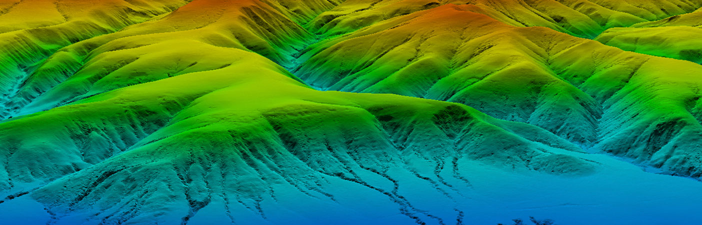
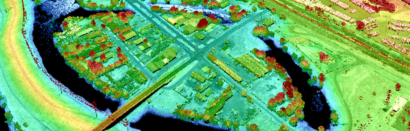
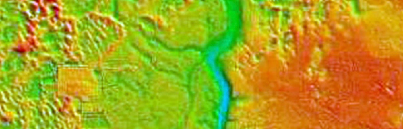
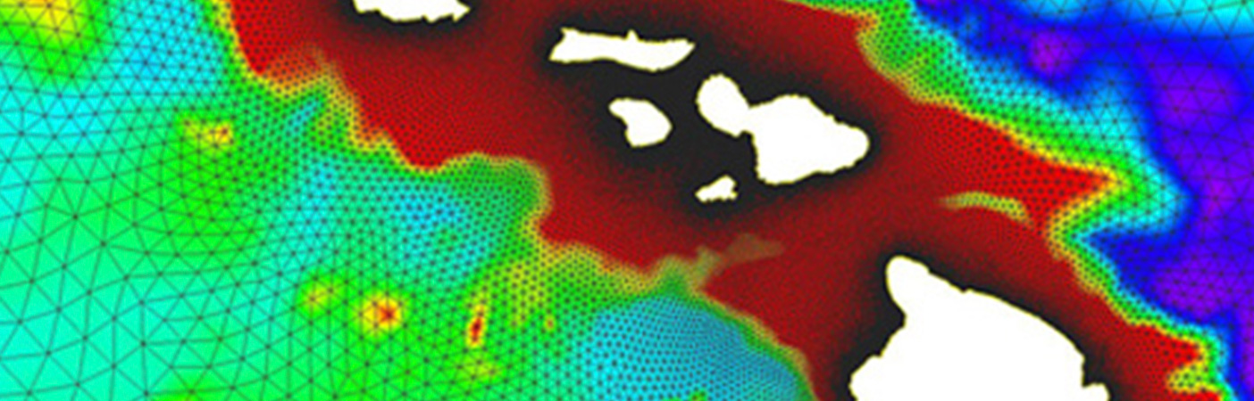
We own and operate remote sensors to acquire data over land (topographic) and water (topobathymetric), via satellites, airborne sensors, drones, and land- and ship-based sensors.
Remote Sensing Expertise Using the Latest Technology
Throughout the history of our firm, we have supported some of the largest geospatial and remote sensing programs nationwide. Having earned our clients’ trust and respect for our geospatial expertise, we have helped foster collaborations among federal and state agencies. In doing so, we understand and have the capacity to deliver elevation data and imagery for a wide variety of project needs.
By owning our own remote sensors, we’re able to expedite data collection and manage costs typically incurred by renting equipment. Included in our collection of sensors is the RIEGL VQ-1660 II-S, which collects high-resolution topographic lidar data; the REIGL VW-880-G II, which is a topobathymetric sensor; and two Teledyne Optech CZMIL SuperNovas, which also collect topobathymetric lidar data.
Among our team of professionals are many highly recognized remote sensing thought leaders who have contributed to or authored various industry references, including:
Digital Elevation Model Technologies and Applications: The DEM User’s Manual, 1st edition (ASPRS, 2001), 2nd edition (ASPRS, 2007), and 3rd edition (ASPRS, 2018)
USACE Engineering Manual 1110-1-1000, Photogrammetry and Lidar Mapping
ASPRS Guidelines, Vertical Accuracy Reporting for Lidar Data (ASPRS, 2005): primary author
4
owned sensors
Our Projects
View a collection of project profile pages featuring our remote sensing work.
- Location
- Nationwide
- Location
- St. Louis, MO
- Market
- Federal
- Location
- Sacramento, CA
- Location
- Channel Islands National Park, CA
- Location
- Denton, TX
- Location
- Louisa, VA
- Location
- Nationwide
- Location
- Kern County, CA
Specializations
- Field reconnaissance
- Geodesy
- Ground control and check point surveys
- Habitat and land use/cover mapping
- Hyperspectral and multispectral imagery analysis
- Lidar
- Orthophotography
- Photo interpretation
- Photogrammetry
Markets
For Communities By Our People
Discover what Dewberry can do for you.
Our Markets
-
Community Facilities
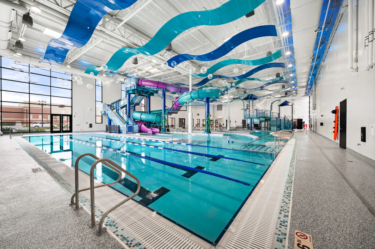
For more than 60 years, we've helped our clients create civic buildings and structures that advance quality of life, well-being, and safety.
Explore Community Facilities -
Education
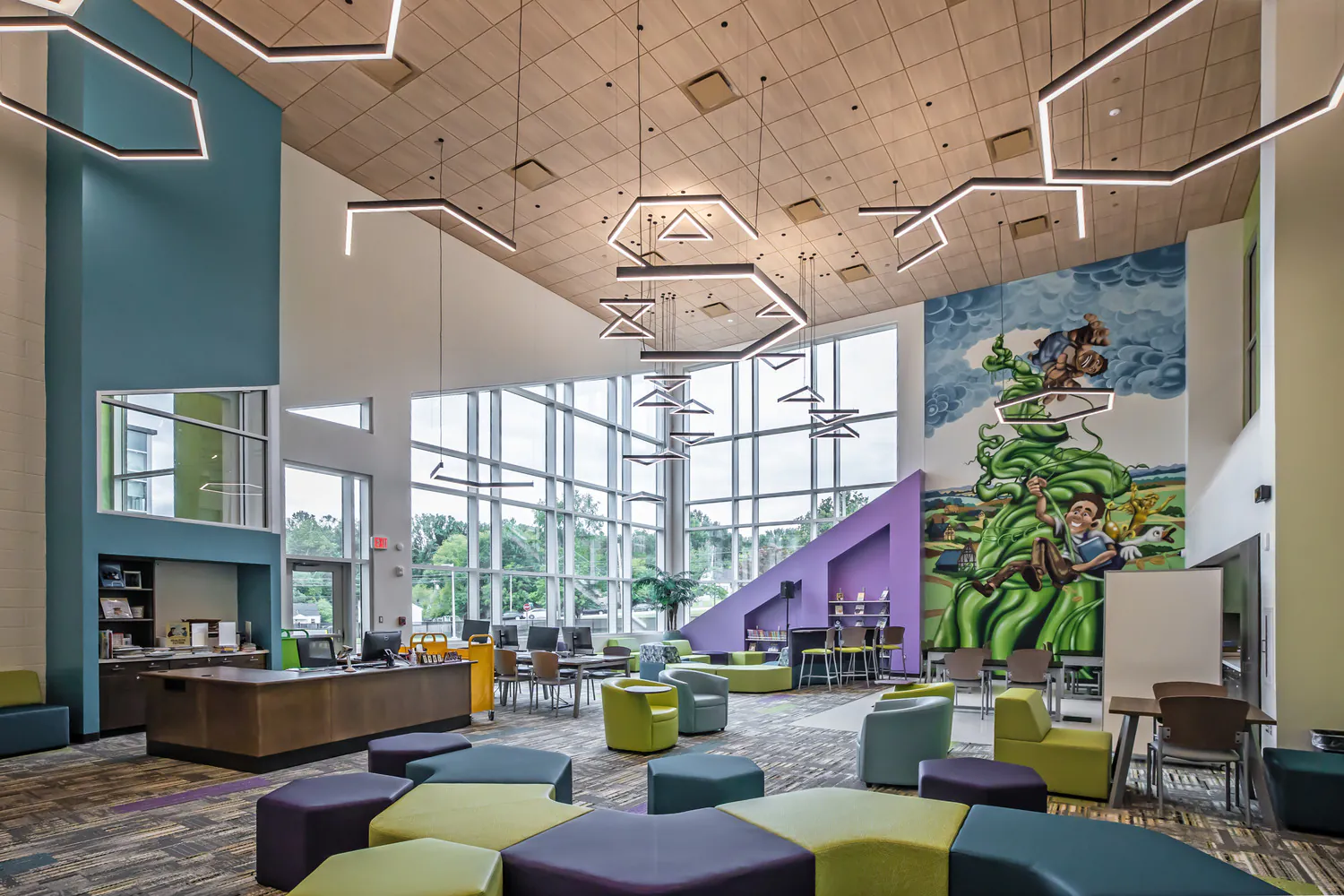
Education is evolving, and the environments that support it must evolve too. Across pre-K-12, community colleges, and higher education campuses, we design campuses and dynamic learning spaces that foster collaboration, enhance experiences, and prepare students for the future.
Explore Education -
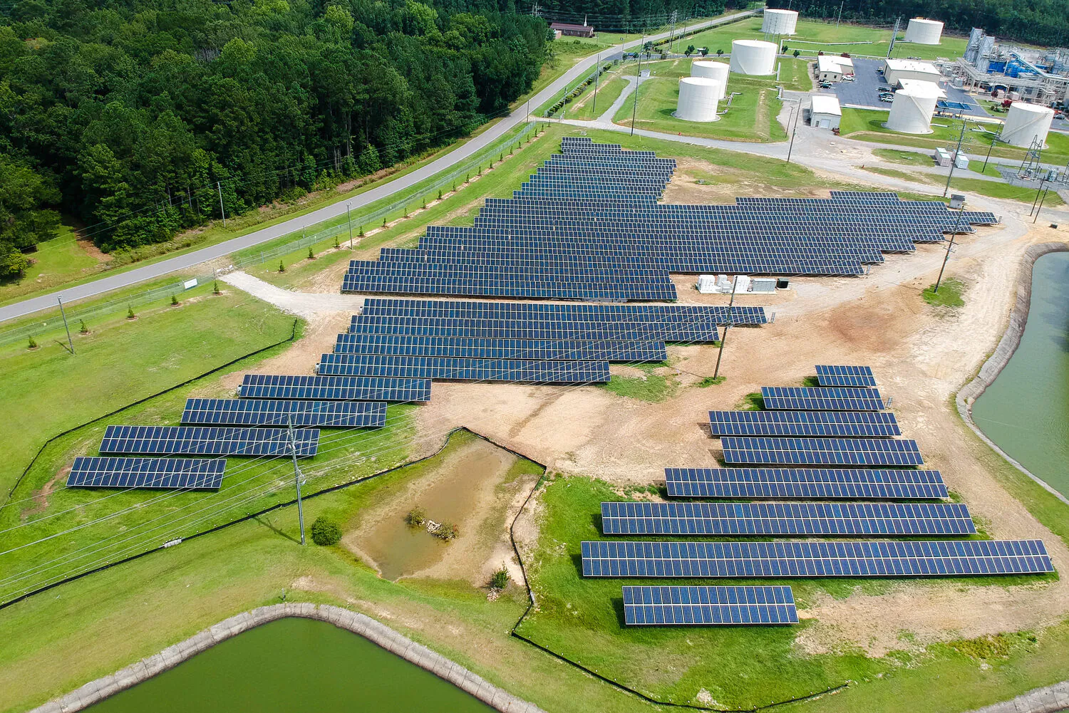
Energy
We support power generation, transmission, and renewable energy programs designed for reliability and the clean energy transition.
Explore Energy -
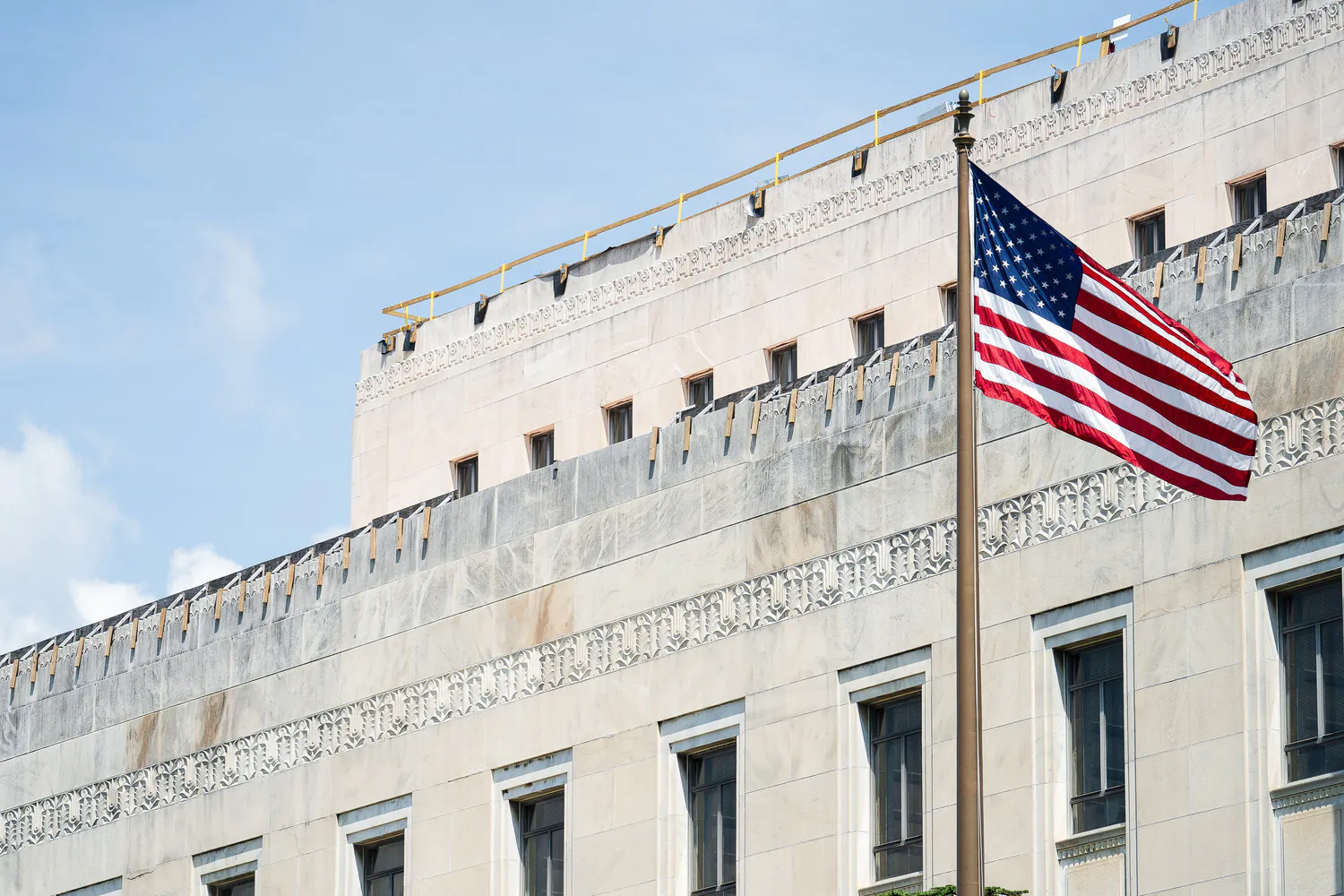
Federal
We excel in delivering projects of critical national importance. As a family-owned firm with more than 2,500 employees, we're large enough to provide the capabilities needed and small enough to focus on client service and project delivery.
Explore Federal -
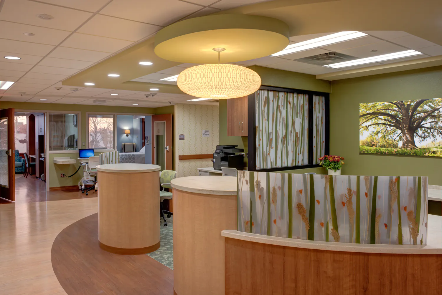
Health and Wellness
Our designs balance patient-centered care with operational efficiency, empowering providers to deliver crucial services to their communities.
Explore Health and Wellness -
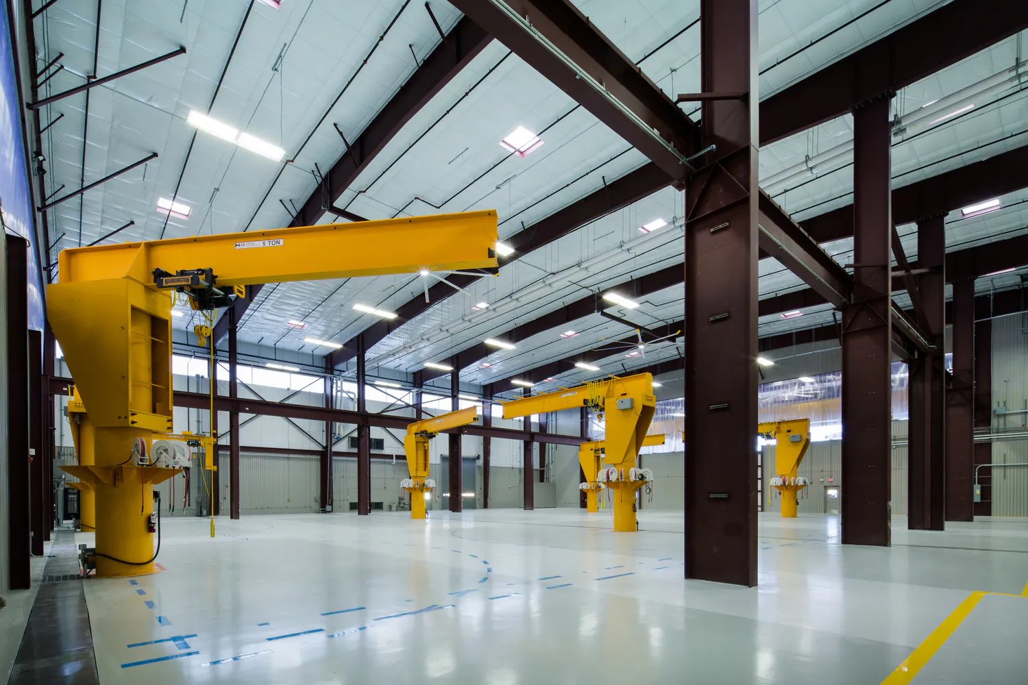
Industrial
We meet our clients at the intersection of their technical and regulatory needs to strengthen operations and drive sustainable economic growth.
Explore Industrial -
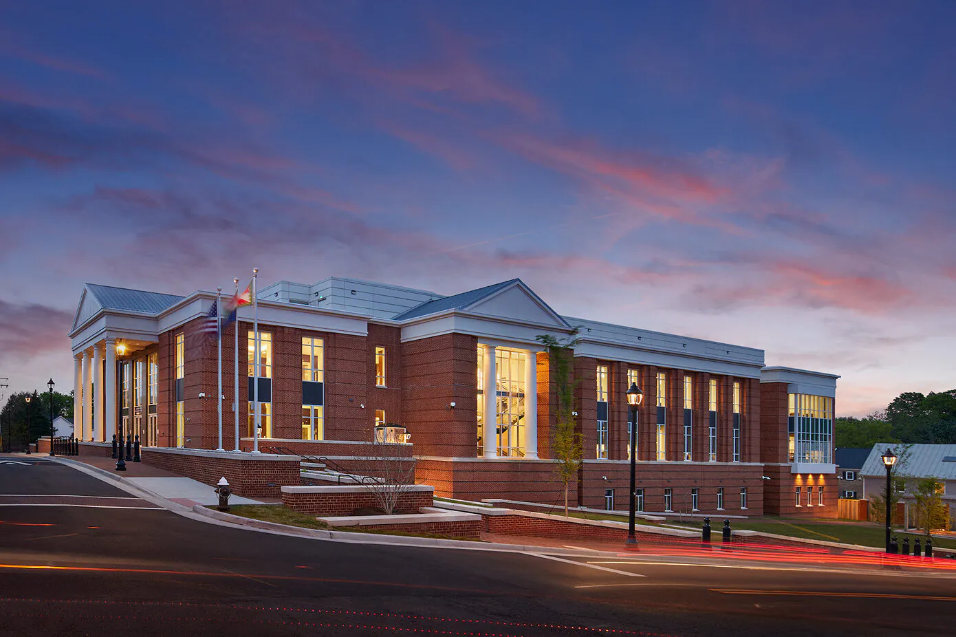
Justice
We are committed to transformative justice planning and design, focusing on the full spectrum of justice facilities, courthouses, behavioral health facilities, and secure housing.
Explore Justice -
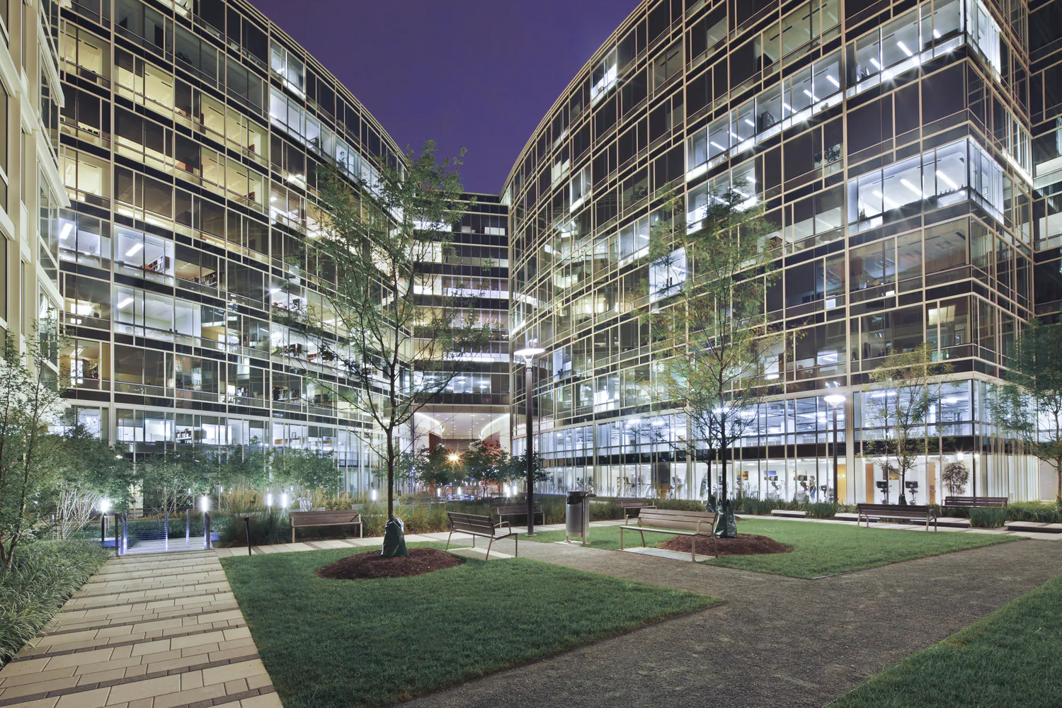
Real Estate and Commercial Development
We encourage community and stakeholder involvement, drawing on local knowledge, ideas, and aspirations to best understand the real and perceived market opportunities and constraints.
Explore Real Estate and Commercial Development -
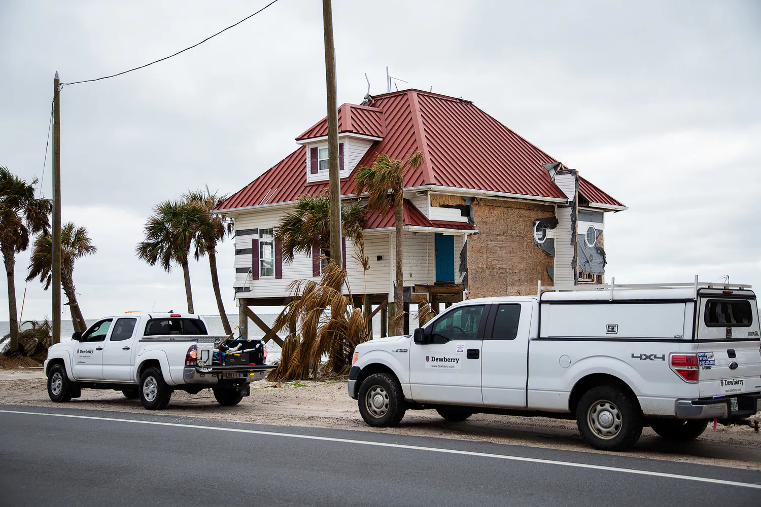
Risk, Response, Recovery, and Resilience
We help communities plan, prepare, and recover from disasters and changing climate impacts.
Explore Risk, Response, Recovery, and Resilience -
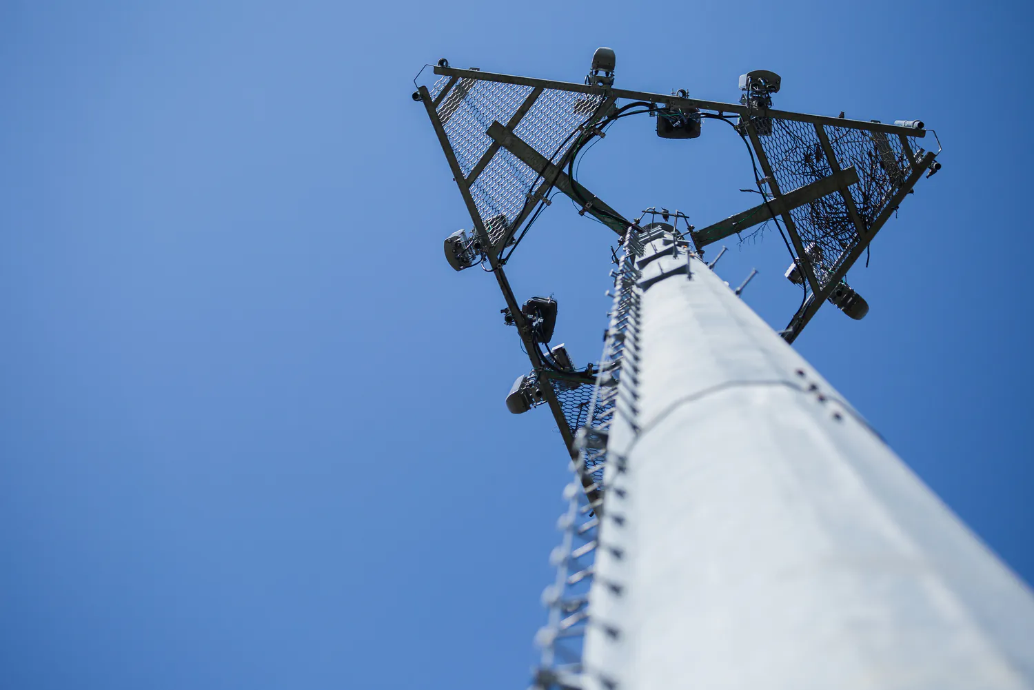
Telecommunications
We deliver turnkey solutions for wireless telecommunications infrastructure, optimizing for performance and reliability across a wide range of site types.
Explore Telecommunications -
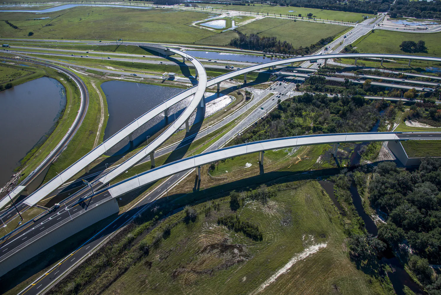
Transportation
With a commitment to safety and the efficient movement of people and goods, we approach each transportation project with technical excellence, quality, and cost-effective solutions.
Explore Transportation -
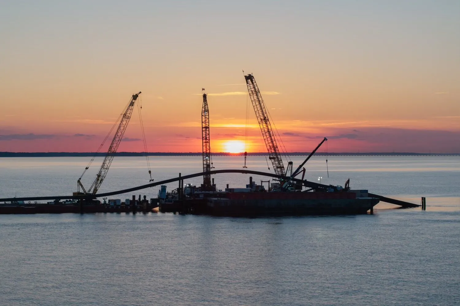
Water
Our water professionals combine deep technical experience with a client-focused approach. We deliver innovative, proven solutions to help solve today’s water challenges while improving quality of life for our clients and their customers.
Explore Water
Community Facilities
For more than 60 years, we've helped our clients create civic buildings and structures that advance quality of life, well-being, and safety.
Explore Community Facilities
Education
Education is evolving, and the environments that support it must evolve too. Across pre-K-12, community colleges, and higher education campuses, we design campuses and dynamic learning spaces that foster collaboration, enhance experiences, and prepare students for the future.
Explore Education
Energy
We support power generation, transmission, and renewable energy programs designed for reliability and the clean energy transition.
Explore Energy
Federal
We excel in delivering projects of critical national importance. As a family-owned firm with more than 2,500 employees, we're large enough to provide the capabilities needed and small enough to focus on client service and project delivery.
Explore Federal
Health and Wellness
Our designs balance patient-centered care with operational efficiency, empowering providers to deliver crucial services to their communities.
Explore Health and Wellness
Industrial
We meet our clients at the intersection of their technical and regulatory needs to strengthen operations and drive sustainable economic growth.
Explore Industrial
Justice
We are committed to transformative justice planning and design, focusing on the full spectrum of justice facilities, courthouses, behavioral health facilities, and secure housing.
Explore Justice
Real Estate and Commercial Development
We encourage community and stakeholder involvement, drawing on local knowledge, ideas, and aspirations to best understand the real and perceived market opportunities and constraints.
Explore Real Estate and Commercial Development
Risk, Response, Recovery, and Resilience
We help communities plan, prepare, and recover from disasters and changing climate impacts.
Explore Risk, Response, Recovery, and Resilience
Telecommunications
We deliver turnkey solutions for wireless telecommunications infrastructure, optimizing for performance and reliability across a wide range of site types.
Explore Telecommunications
Transportation
With a commitment to safety and the efficient movement of people and goods, we approach each transportation project with technical excellence, quality, and cost-effective solutions.
Explore Transportation
Water
Our water professionals combine deep technical experience with a client-focused approach. We deliver innovative, proven solutions to help solve today’s water challenges while improving quality of life for our clients and their customers.
Explore Water