March 23, 2023
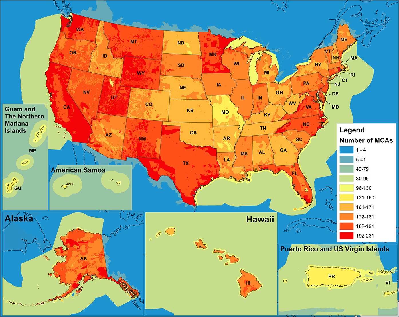
Having high quality and accurate 3D elevation data (both topographic and bathymetric) means federal agencies, including the National Oceanic and Atmospheric Administration (NOAA) and the U.S. Geological Survey (USGS), can better prioritize and direct investment dollars to address user and community…