August 25, 2023
Dewberry Geospatial Analyst Delaney Resweber explains cultural resource mapping in about 90 seconds.

Discover project, people, and trend insights and news, shared as videos, publications, press releases, podcasts, and blogs.
260 insights
August 25, 2023
Dewberry Geospatial Analyst Delaney Resweber explains cultural resource mapping in about 90 seconds.
August 10, 2023
Jason Dolf and Jonathan Gibson
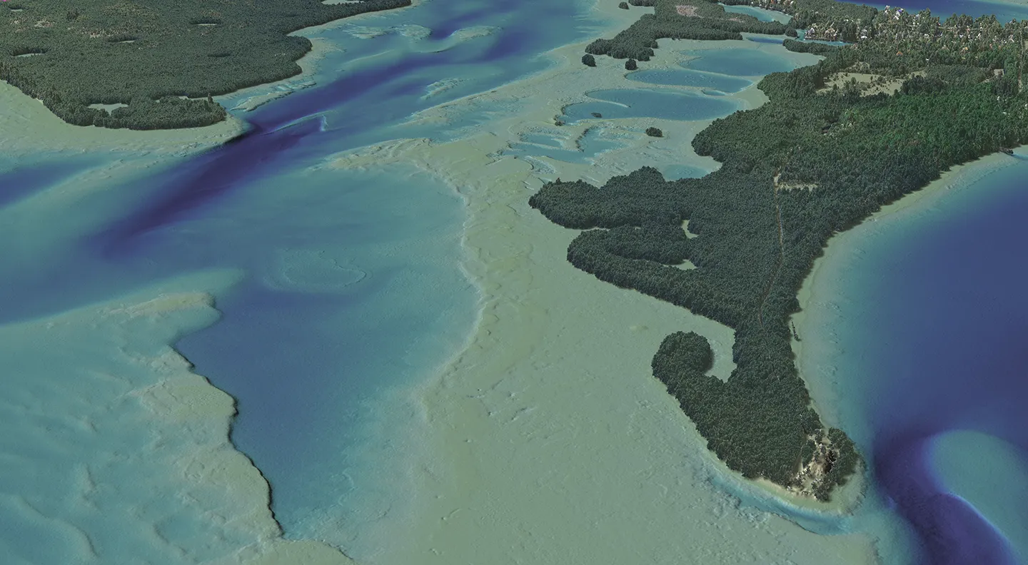
Surveying deals with the process of determining the three-dimensional positions of points and the distances and angles between them, including limits of lots/parcels (boundary), landscape (topography), water (hydrography), construction stake out, as-built, easement, and route/corridor surveys.…
May 24, 2023
Alvan Karlin, Danielle Rogers and Emily Klipp
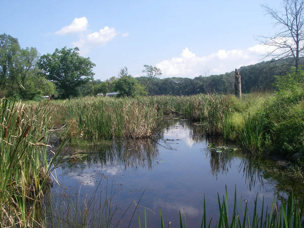
In this article for LIDAR Magazine, Dewberry’s Alvan Karlin and Emily Klipp and Southwest Florida Water Management District’s Danielle Rogers describe the topobathymetric survey work that is being done to reveal previously unknown water springs in the state of Florida. The article originally…
May 4, 2023
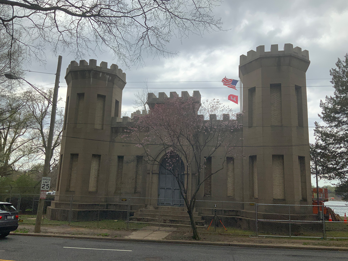
Back in 1901, the pumphouse at Georgetown Reservoir, also called the Castle Gatehouse, was built to pump water into the four-mile-long Washington City Tunnel that led to the McMillian Reservoir, thereby improving the municipal water system to Washington, D.C. The building was designed to replicate…
April 20, 2023
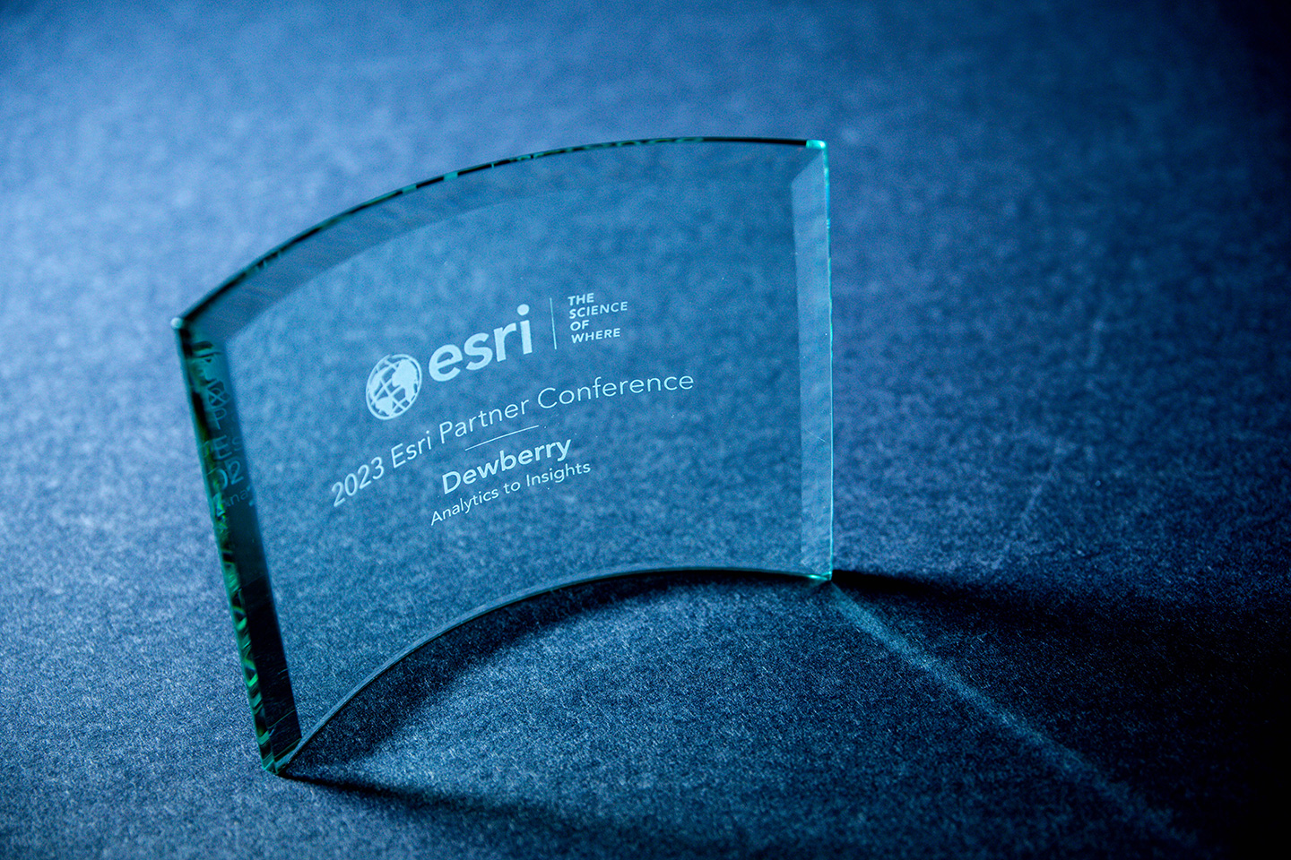
Firm recognized during Esri Partner Conference (EPC) for exceptional achievement.
March 23, 2023
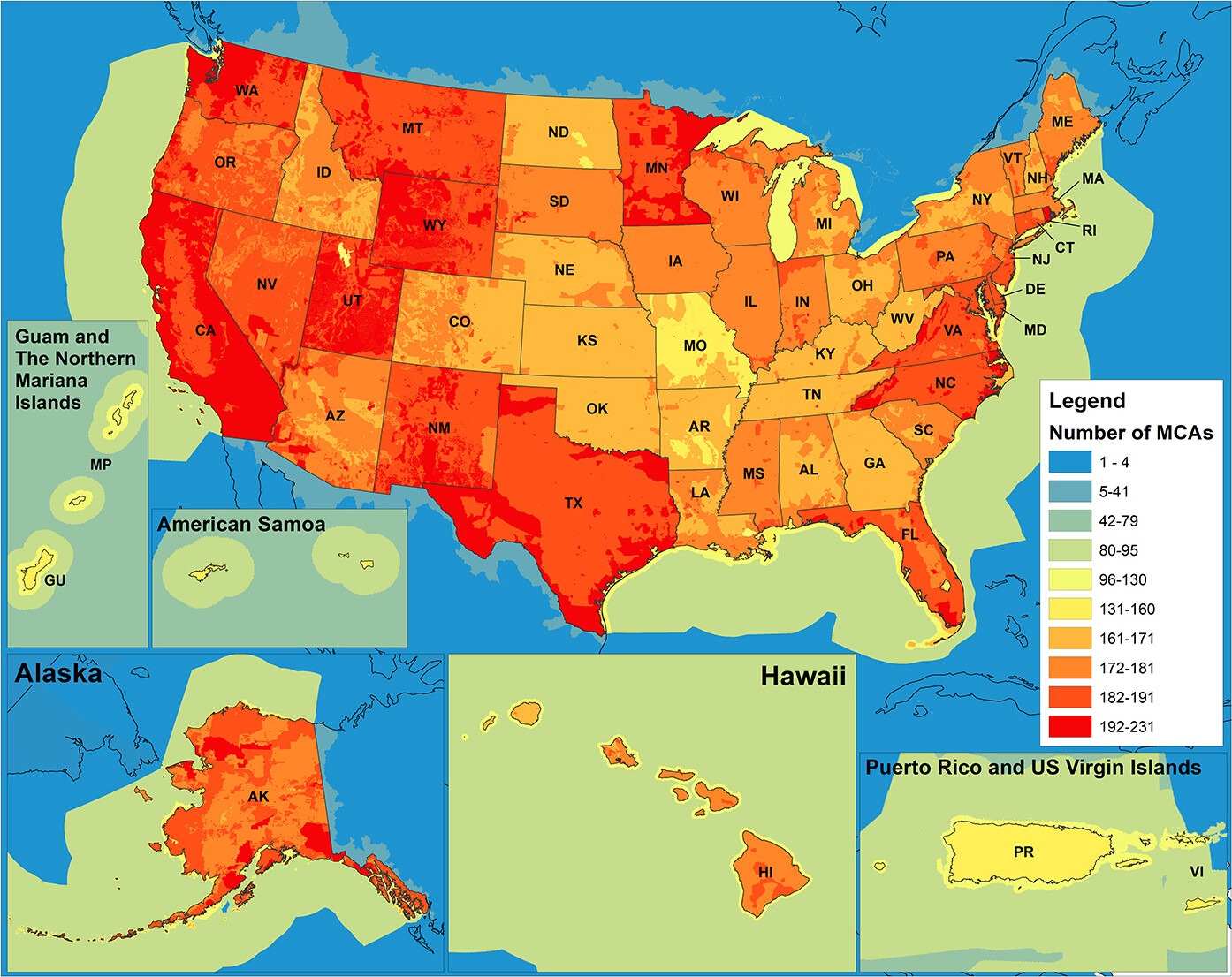
Having high quality and accurate 3D elevation data (both topographic and bathymetric) means federal agencies, including the National Oceanic and Atmospheric Administration (NOAA) and the U.S. Geological Survey (USGS), can better prioritize and direct investment dollars to address user and community…
February 23, 2023
James Parker and Sara Lacey
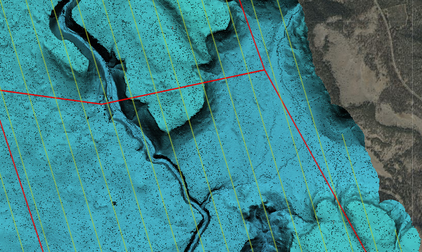
In this article for T&D World, Dewberry Senior Project Manager James Parker, Vice President David Taylor, and Pepco Holdings Senior Manager Sara Lacey describe how web-based geographic information system (GIS) software provides utility users with the ability to effectively manage assets in a…
January 25, 2023
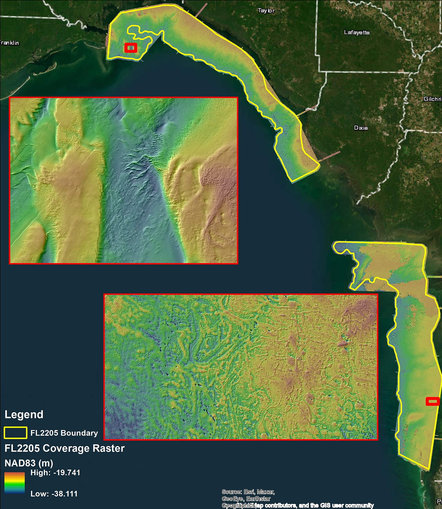
Firm’s topobathymetric lidar and concurrent imagery collection and processing to be done as part of greater NOAA shoreline mapping project.
January 24, 2023
Firm promotes Jonathan Sklarski, Justin Ford, and Jonathan Gibson.
January 18, 2023
Water, geospatial, and design-build professionals recognized in Denver and Greenwood Village offices.
November 29, 2022
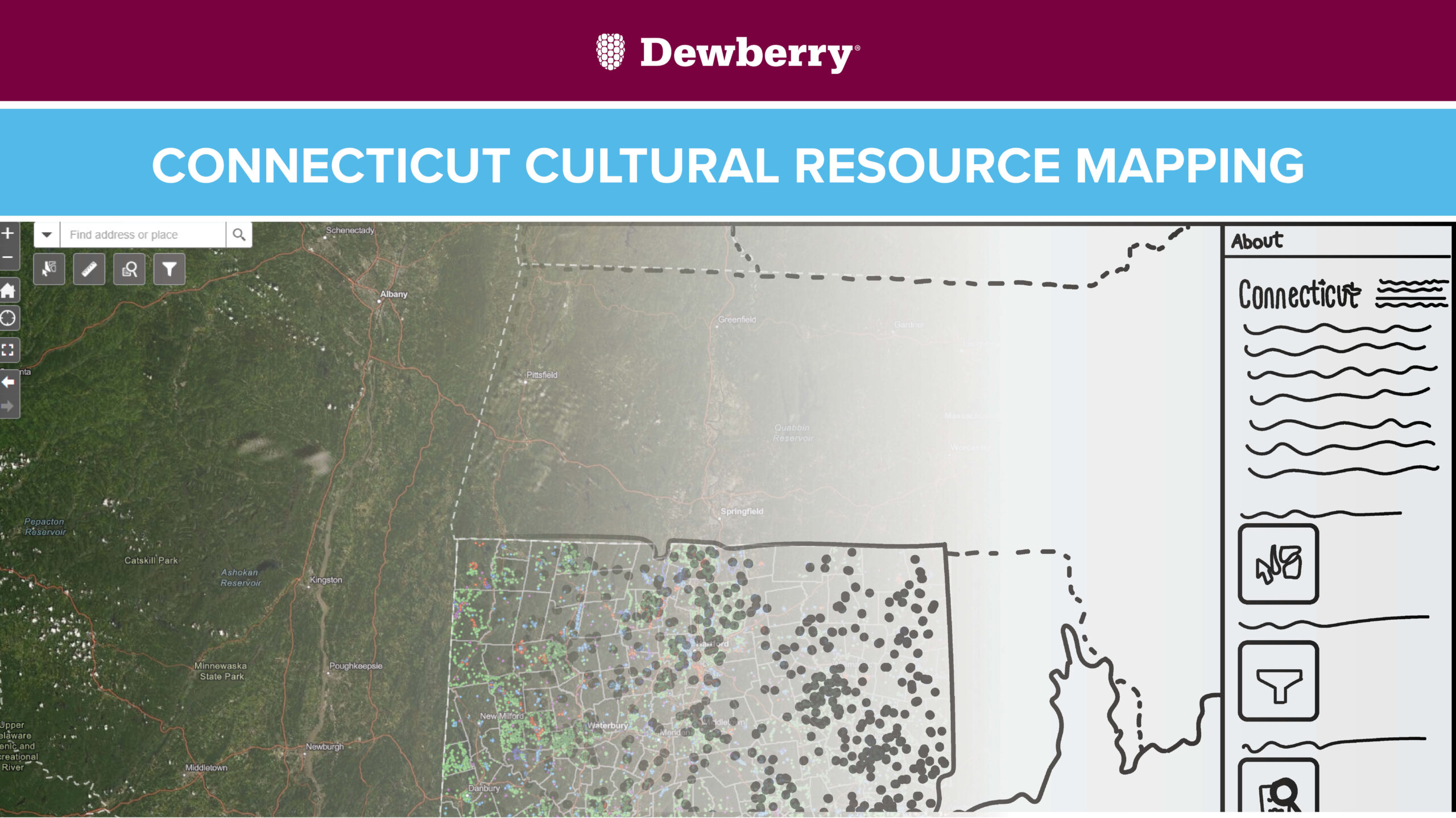
Geospatial Analysts Delaney Resweber and Shelby Sencindiver share about their team's work to document, organize, and geospatially map the State of Connecticut's cultural resources for the State Historic Preservation Office.
November 7, 2022
Hillary Palmer and Ed Fogels
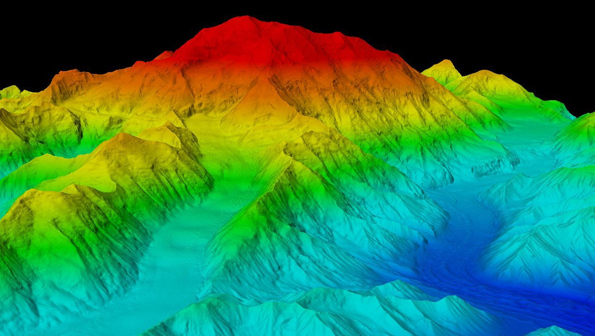
In this article for Alaska Business Magazine, Dewberry’s Hillary Palmer and Jade North’s Ed Fogels describe how the Alaska Mapping project is improving the state’s spatial data infrastructure and benefitting the public, government, and private-sector businesses.
Discover how our values, solutions, and years of experience come together to shape the built environment for our communities.


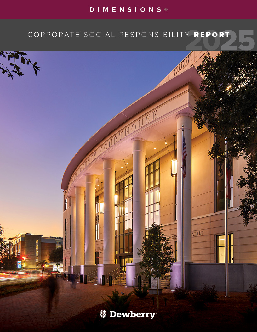
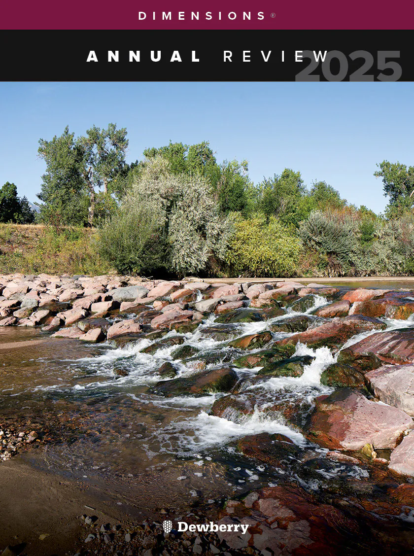
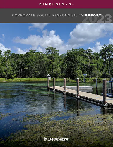
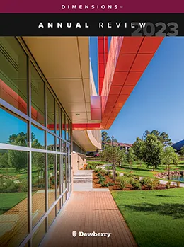
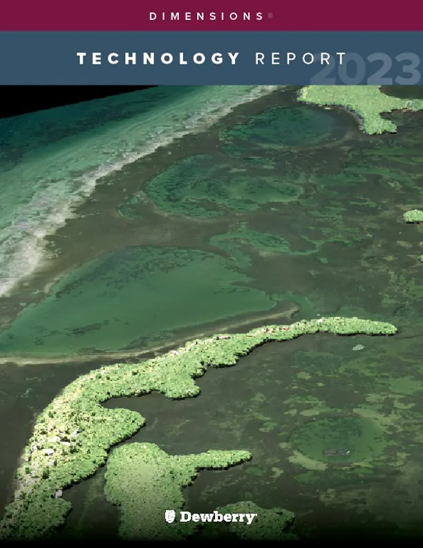
Our annual review and corporate social responsibility report, in one place.


Media and trade publications are permitted to use “Dewberry” as a shorthand to reference a particular Dewberry company. Third parties are not permitted to use Dewberry’s federally registered trademarks without Dewberry’s written consent.