October 7, 2020
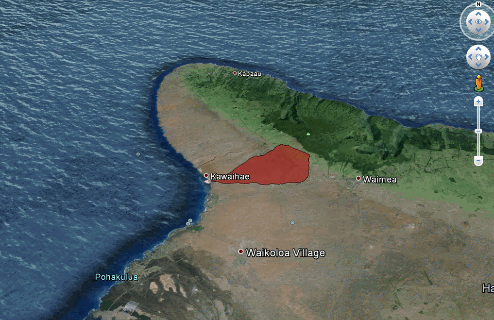
Dewberry to collect topographic elevation point data derived from lidar measurements for the Pelekane Watershed on Hawaii’s Big Island.

Discover project, people, and trend insights and news, shared as videos, publications, press releases, podcasts, and blogs.
260 insights
October 7, 2020
Dewberry to collect topographic elevation point data derived from lidar measurements for the Pelekane Watershed on Hawaii’s Big Island.

October 7, 2020
Dewberry recorded a new elevation for Denali.

October 7, 2020
Dewberry, a professional services firm, will evaluate single photon and Geiger mode lidar.
October 7, 2020
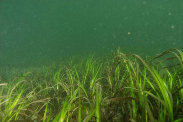
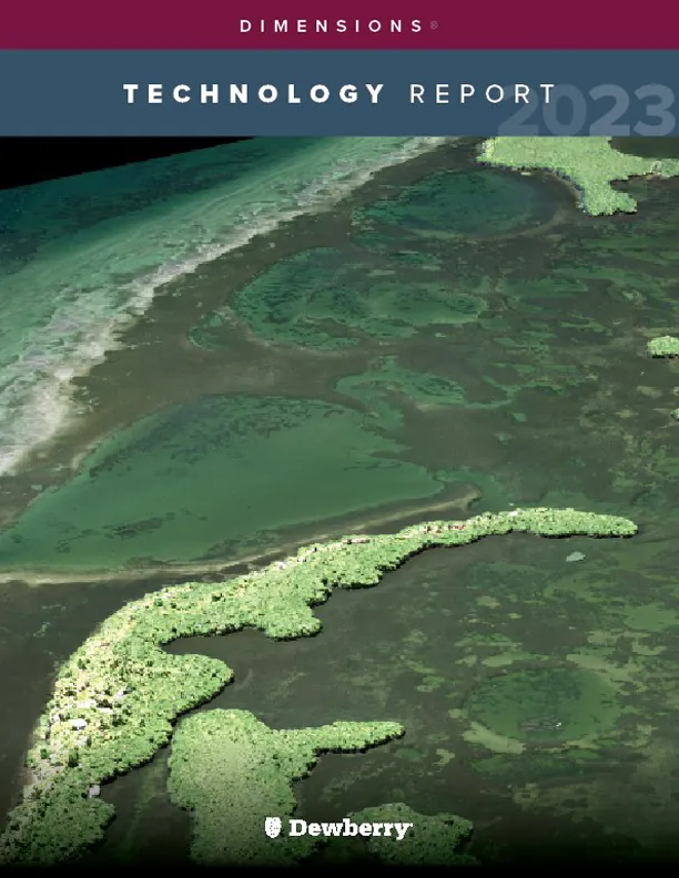
Environmental mapping projects in Florida and California document the decline of seagrass, an aquatic plant vital to estuarine ecosystems and regional economies.

October 6, 2020
Dewberry executive will advise on strategic direction of partner program.
October 6, 2020
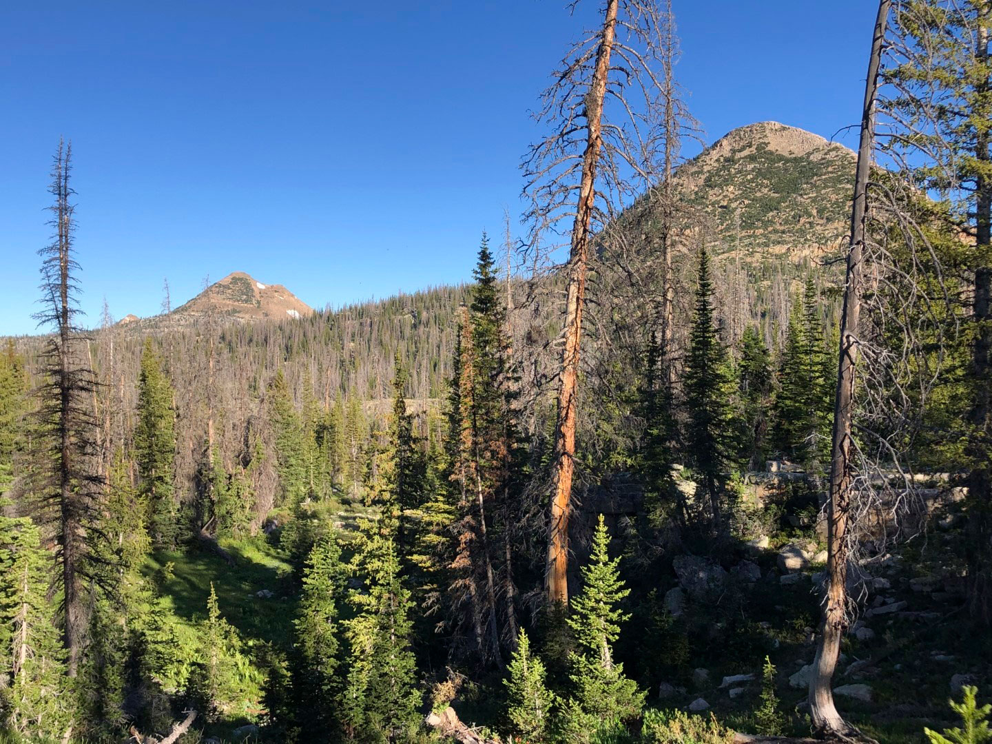
Firm to collect and analyze roughly 13,600 square miles of lidar data across 12 counties.
October 6, 2020
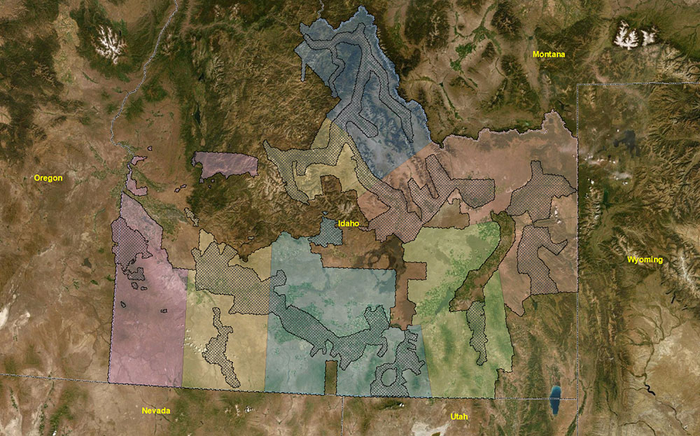
Firm to produce lidar-derived elevation products for approximately 42,000 square miles.
October 6, 2020
Firm will produce record drawings and capture GIS data in Loudoun County, Virginia.
October 6, 2020
Florida-based data collection encompasses 788 square miles.

October 6, 2020
Firm named for its dedication to “Maximizing ArcGIS in Service Offerings.”
October 6, 2020
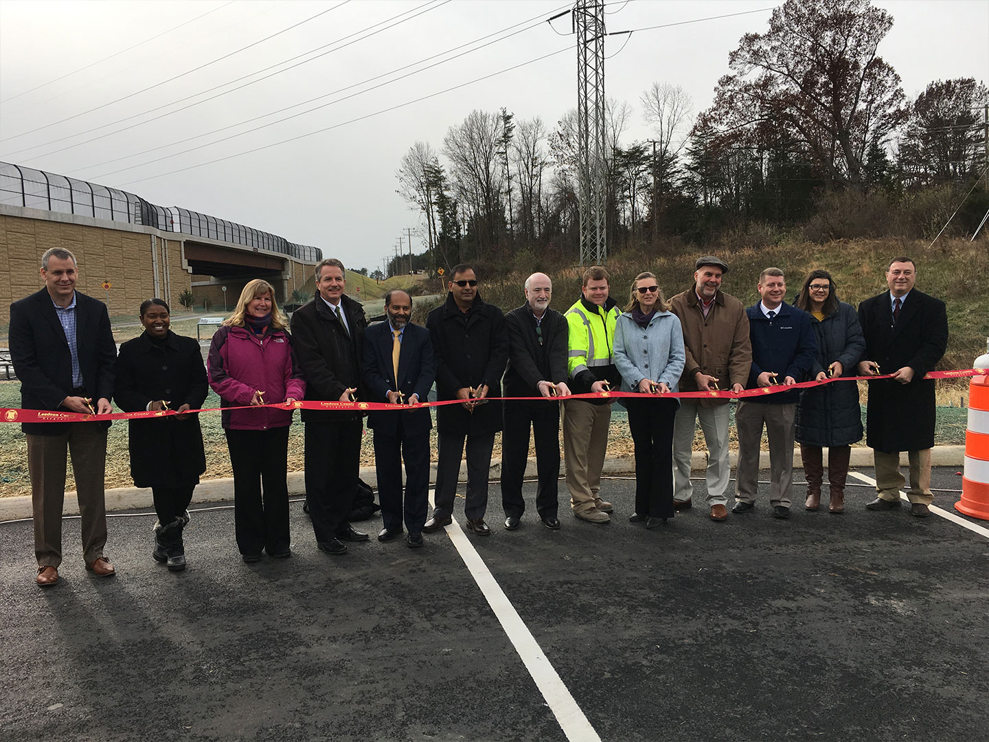
Road widening design-build project now complete in Loudoun County, Virginia.

October 6, 2020
Geospatial expert selected to serve another four-year term.
Discover how our values, solutions, and years of experience come together to shape the built environment for our communities.



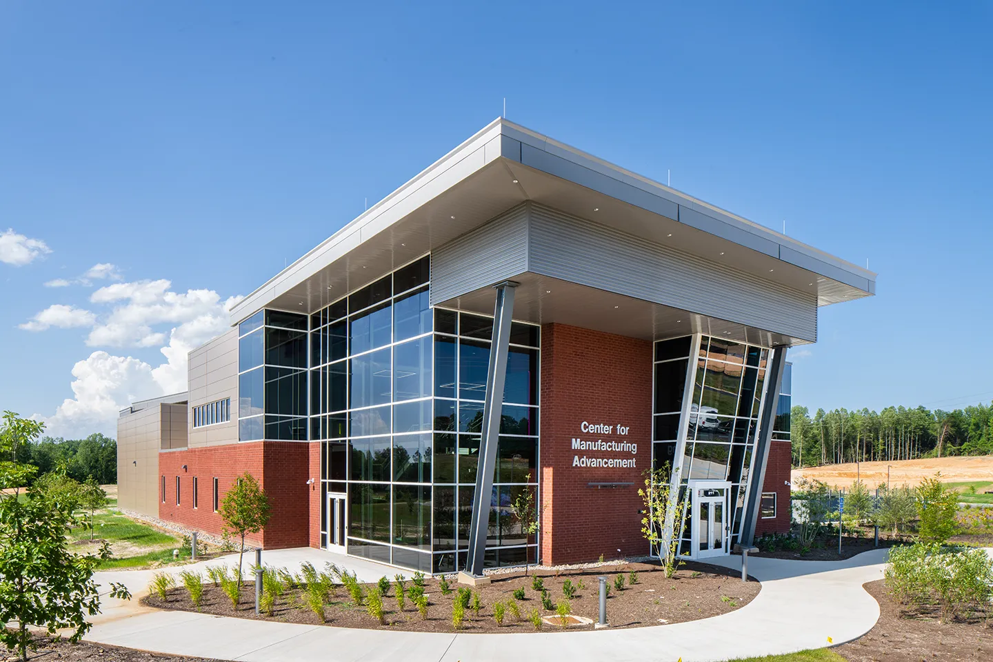
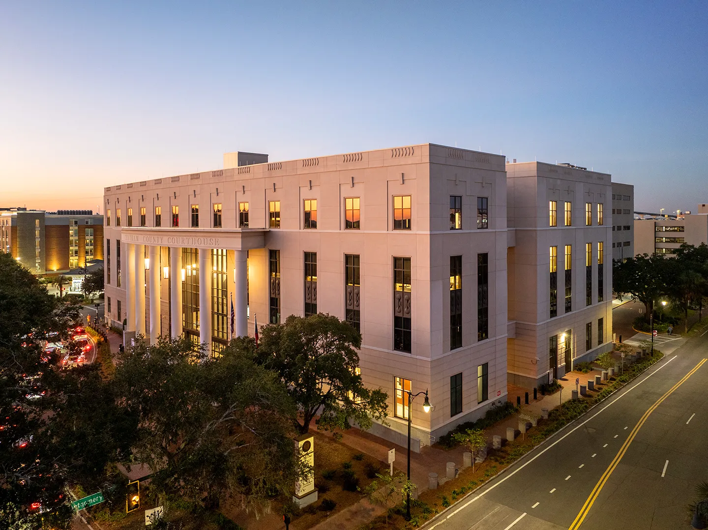

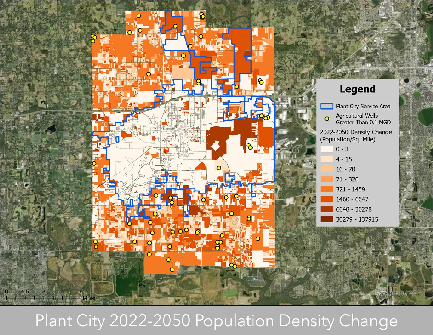

Our annual review and corporate social responsibility report, in one place.







Media and trade publications are permitted to use “Dewberry” as a shorthand to reference a particular Dewberry company. Third parties are not permitted to use Dewberry’s federally registered trademarks without Dewberry’s written consent.