
Site/Civil Engineering
We deliver creative and cost-effective civil engineering solutions for complex sites, guiding our clients through complicated permitting requirements and local constraints, by working in partnership with land development, surveying, environmental, and geospatial experts.
70+ Years Transforming Communities Through Site/Civil Design
We help clients navigate evolving regulatory permitting and entitlement challenges, environmental compliance, subsurface conditions, accelerated project delivery timelines, cross-discipline coordination, stakeholder engagement, and capacity and relocation issues. We offer our clients resilient and sustainable planning, civil engineering, surveying, and design services.
Our professionals are passionate about developing innovative processes and new technologies that help our clients execute projects. We balance stakeholder relationships and expectations to create positive, lasting contributions to the areas in which we work. We deliver information modeling of projects below and above ground, and around centuries-old infrastructure systems. We make building in the most complex environments not only possible, but successful.
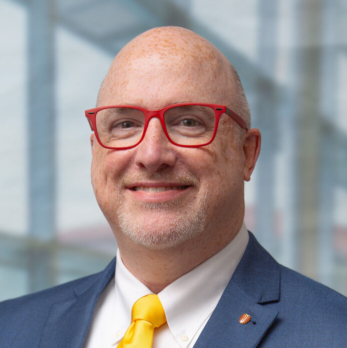
Contact
Our Projects
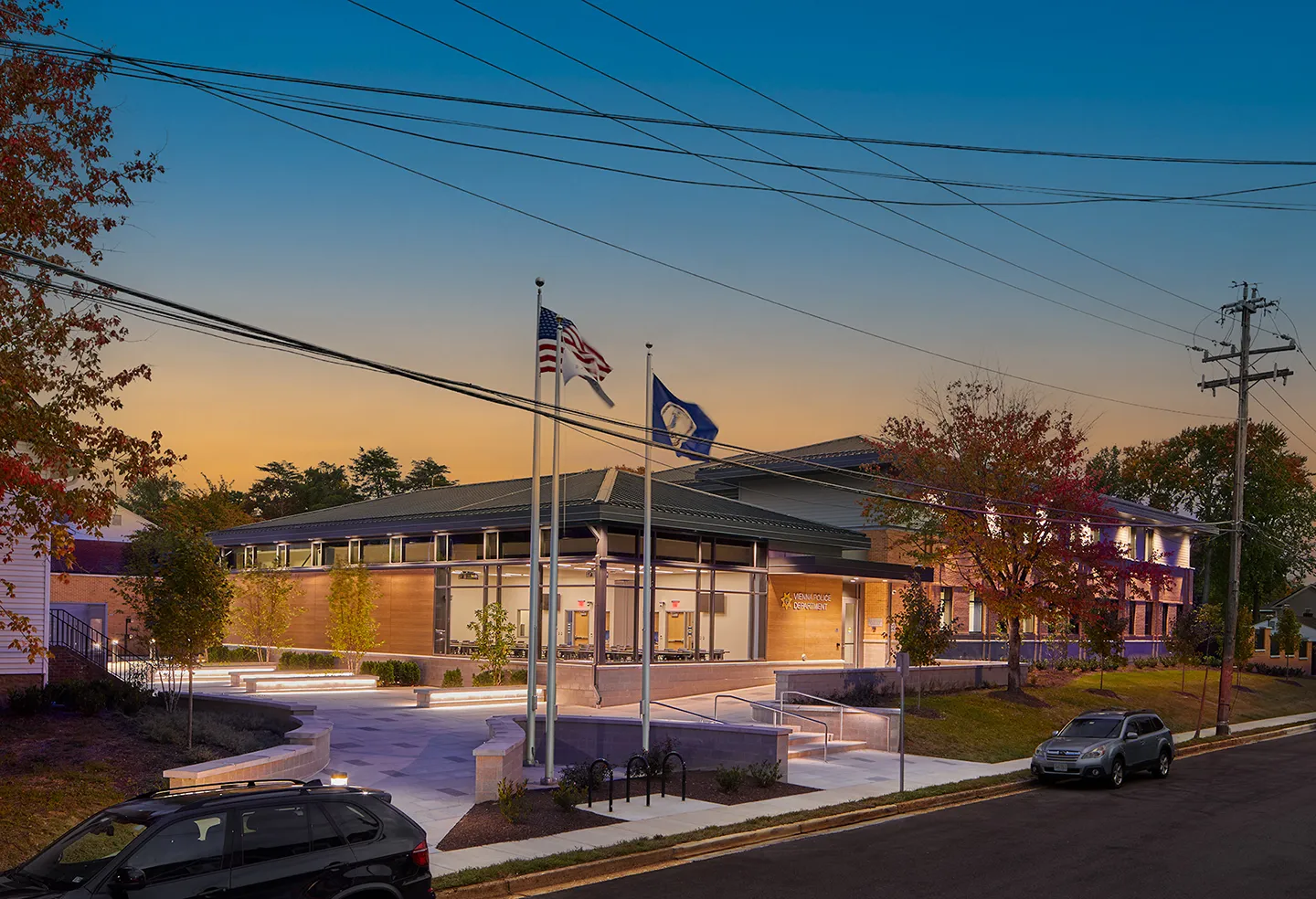
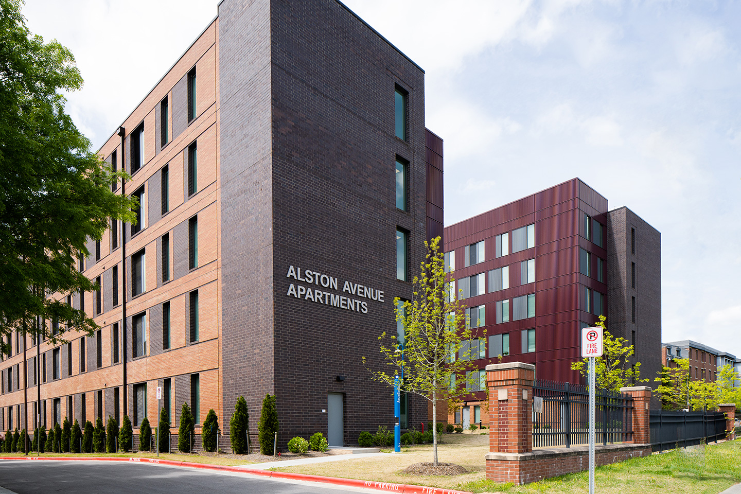
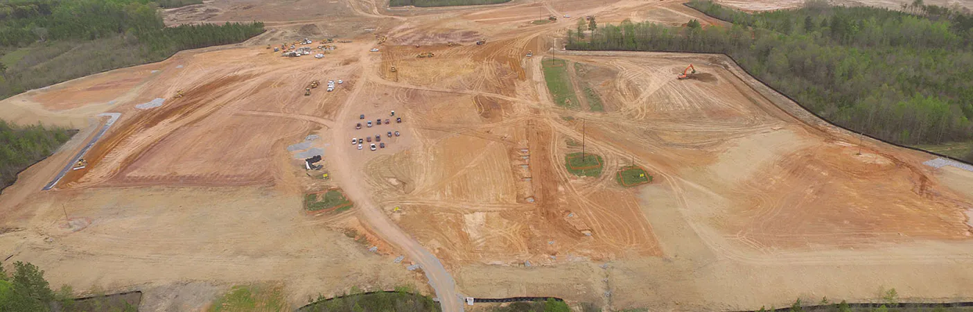
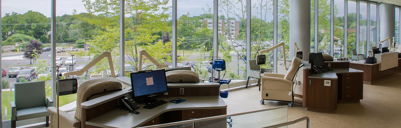
View a collection of project profile pages featuring our site/civil engineering work.
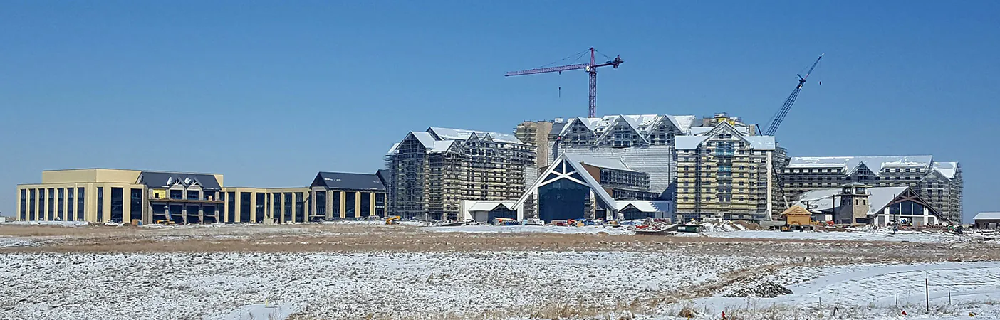
- Location
- Aurora, CO
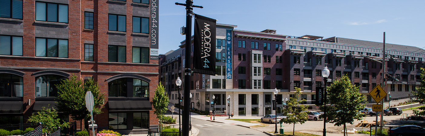
- Location
- VA
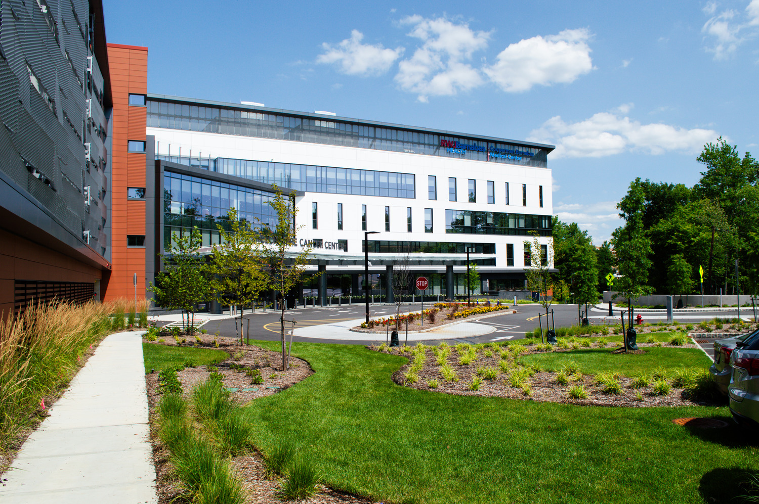
- Location
- Neptune, NJ
- Market
- Health and Wellness
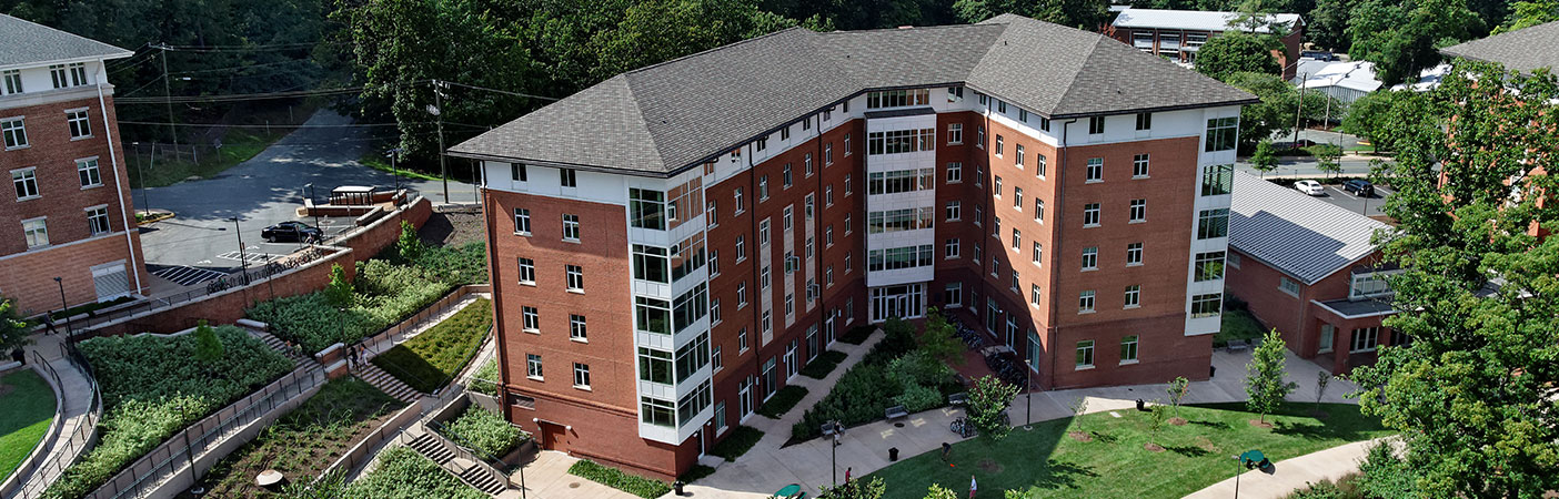
- Location
- Charlottesville, VA
Specializations
- Conceptual land planning
- Environmental consulting and permitting
- Geotechnical engineering
- Landscape architecture
- Planning/zoning and project entitlements
- Site evaluation and feasibility studies
- Site, subdivision, and roadway design
- Surveying and mapping
- Sustainable stormwater management design
- Utility infrastructure
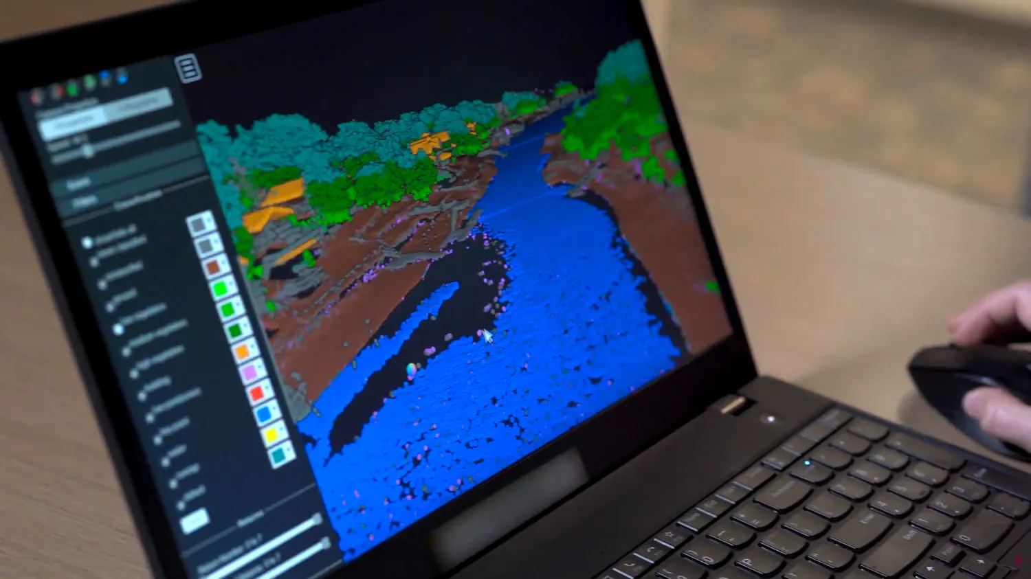
DimensionalView®
DimensionalView® is our enterprise GIS platform used to deliver projects by hosting and sharing spatial information. Our clients and employees can use this platform to make maps, build web apps and dashboards, manage spatial data, and store documents.
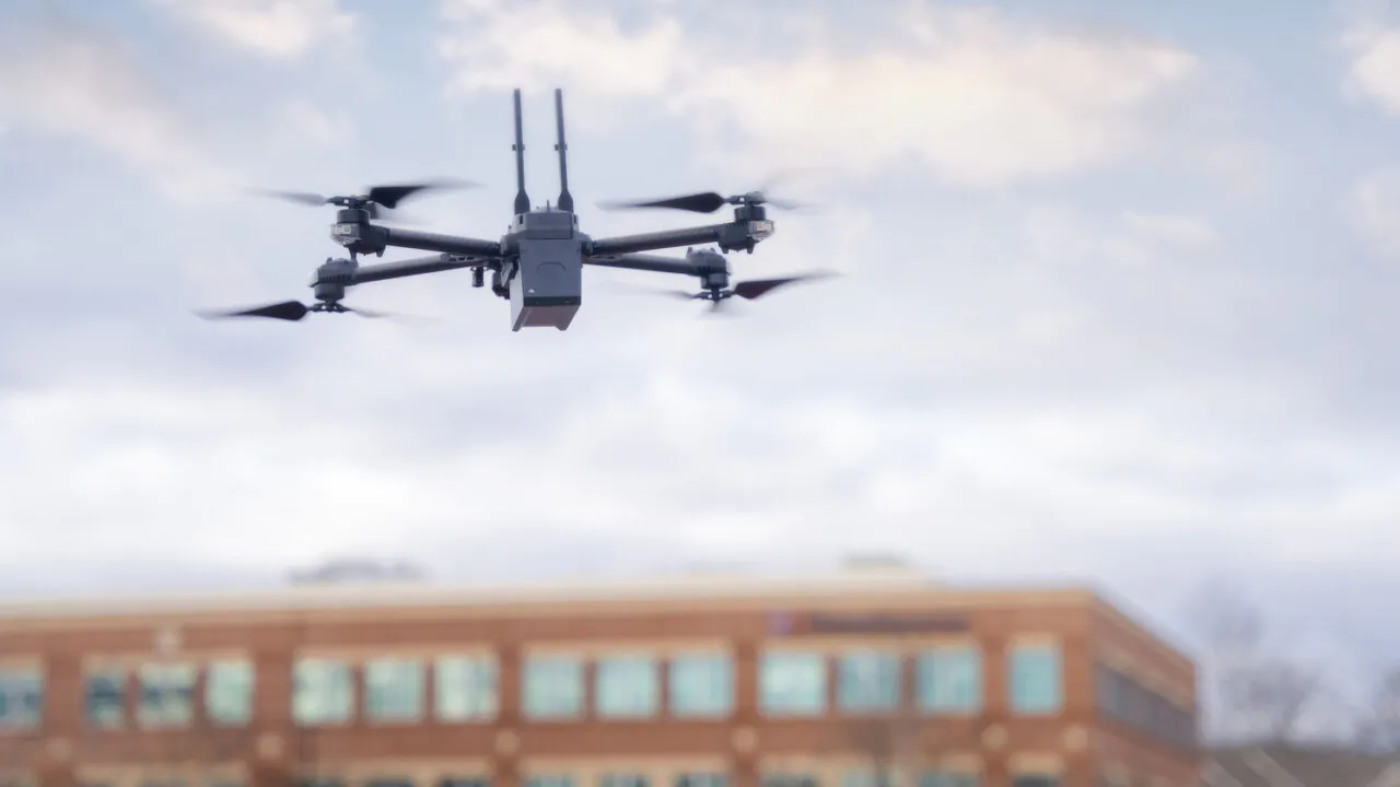
Unmanned Aerial Vehicles/Drones
Our drone services are offered nationwide, and our drone pilots can perform a variety of services in different market segments. Drones offer improved safety, while minimizing time in the field. A drone can cover a project area quickly and efficiently, usually within a single day. With high-accuracy drone mapping, additional features can be extracted from photos to address areas of concern.
Markets
For Communities By Our People
Discover what Dewberry can do for you.
Our Markets
-
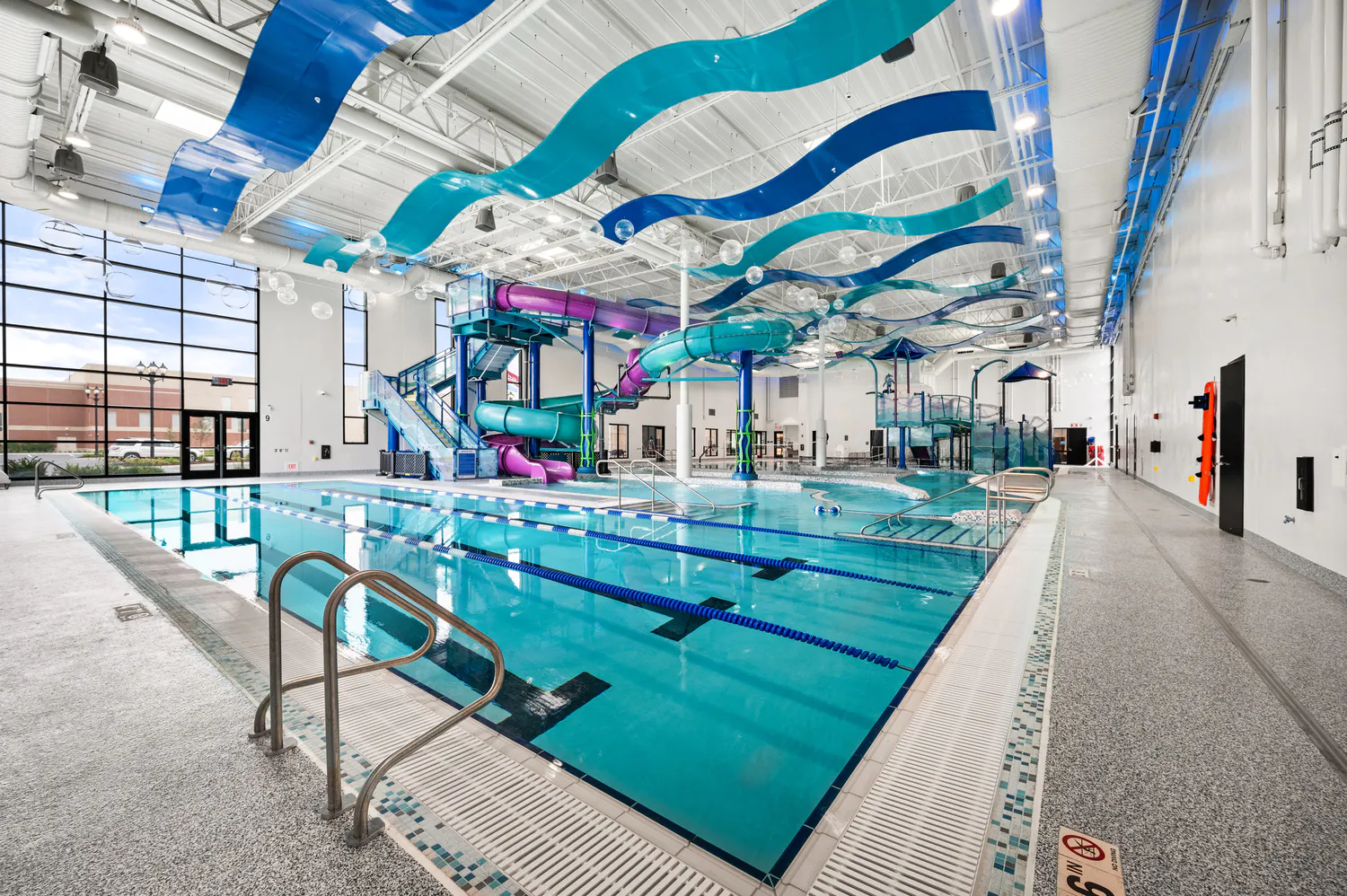
Community Facilities
For more than 60 years, we've helped our clients create civic buildings and structures that advance quality of life, well-being, and safety.
Explore Community Facilities -
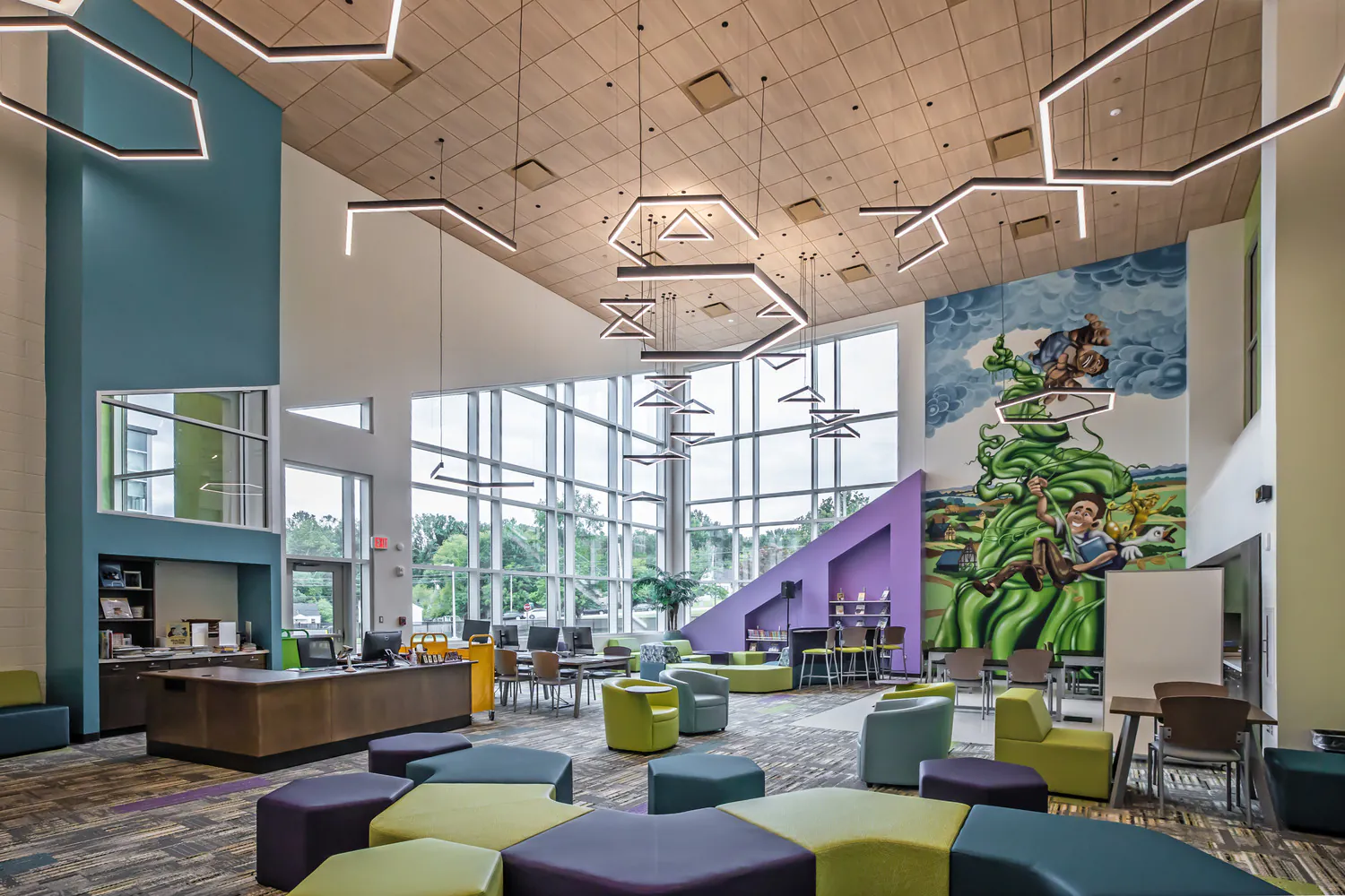
Education
Education is evolving, and the environments that support it must evolve too. Across pre-K-12, community colleges, and higher education campuses, we design campuses and dynamic learning spaces that foster collaboration, enhance experiences, and prepare students for the future.
Explore Education -
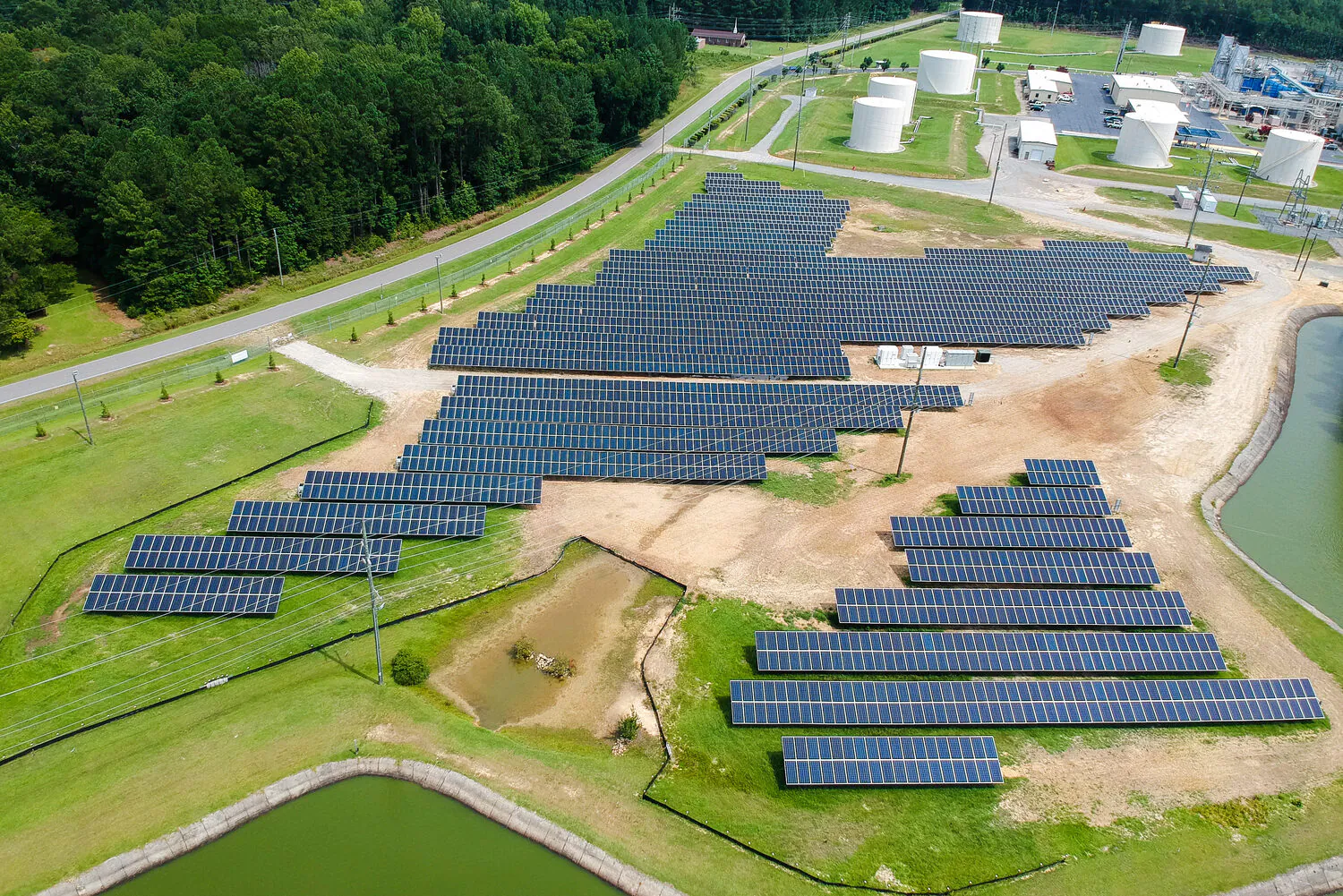
Energy
We support power generation, transmission, and renewable energy programs designed for reliability and the clean energy transition.
Explore Energy -
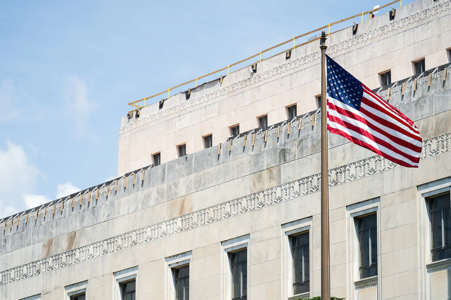
Federal
We excel in delivering projects of critical national importance. As a family-owned firm with more than 2,500 employees, we're large enough to provide the capabilities needed and small enough to focus on client service and project delivery.
Explore Federal -
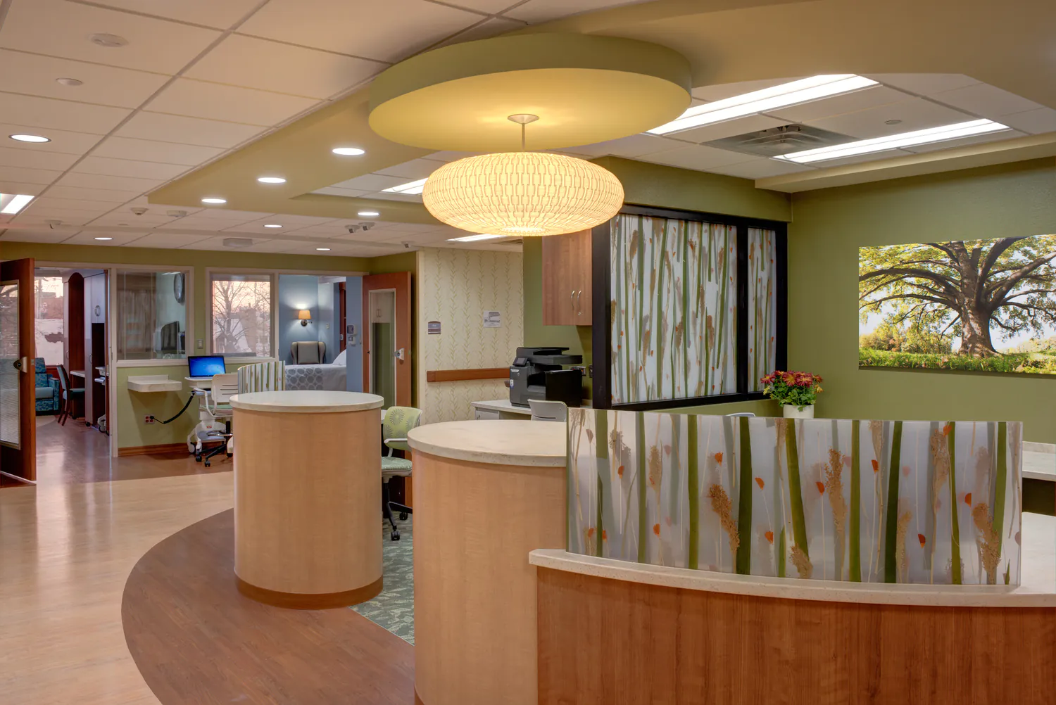
Health and Wellness
Our designs balance patient-centered care with operational efficiency, empowering providers to deliver crucial services to their communities.
Explore Health and Wellness -
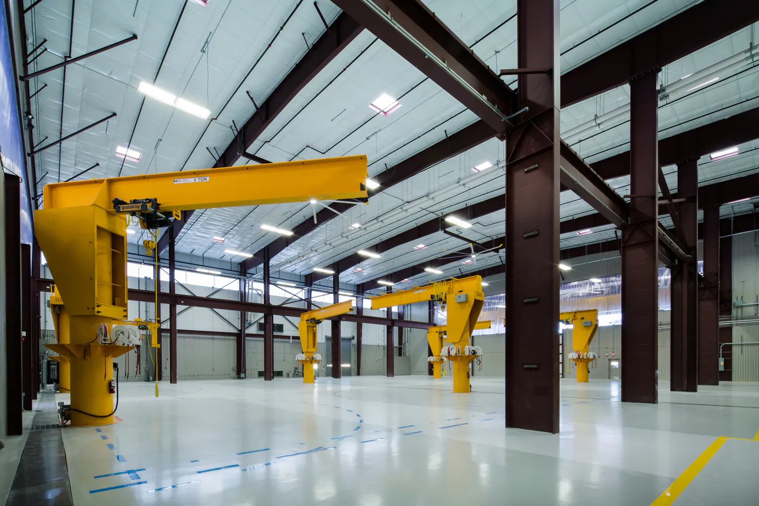
Industrial
We meet our clients at the intersection of their technical and regulatory needs to strengthen operations and drive sustainable economic growth.
Explore Industrial -
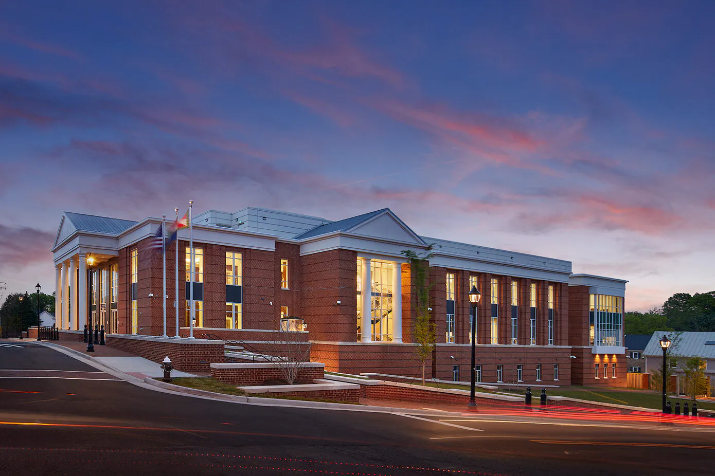
Justice
We are committed to transformative justice planning and design, focusing on the full spectrum of justice facilities, courthouses, behavioral health facilities, and secure housing.
Explore Justice -
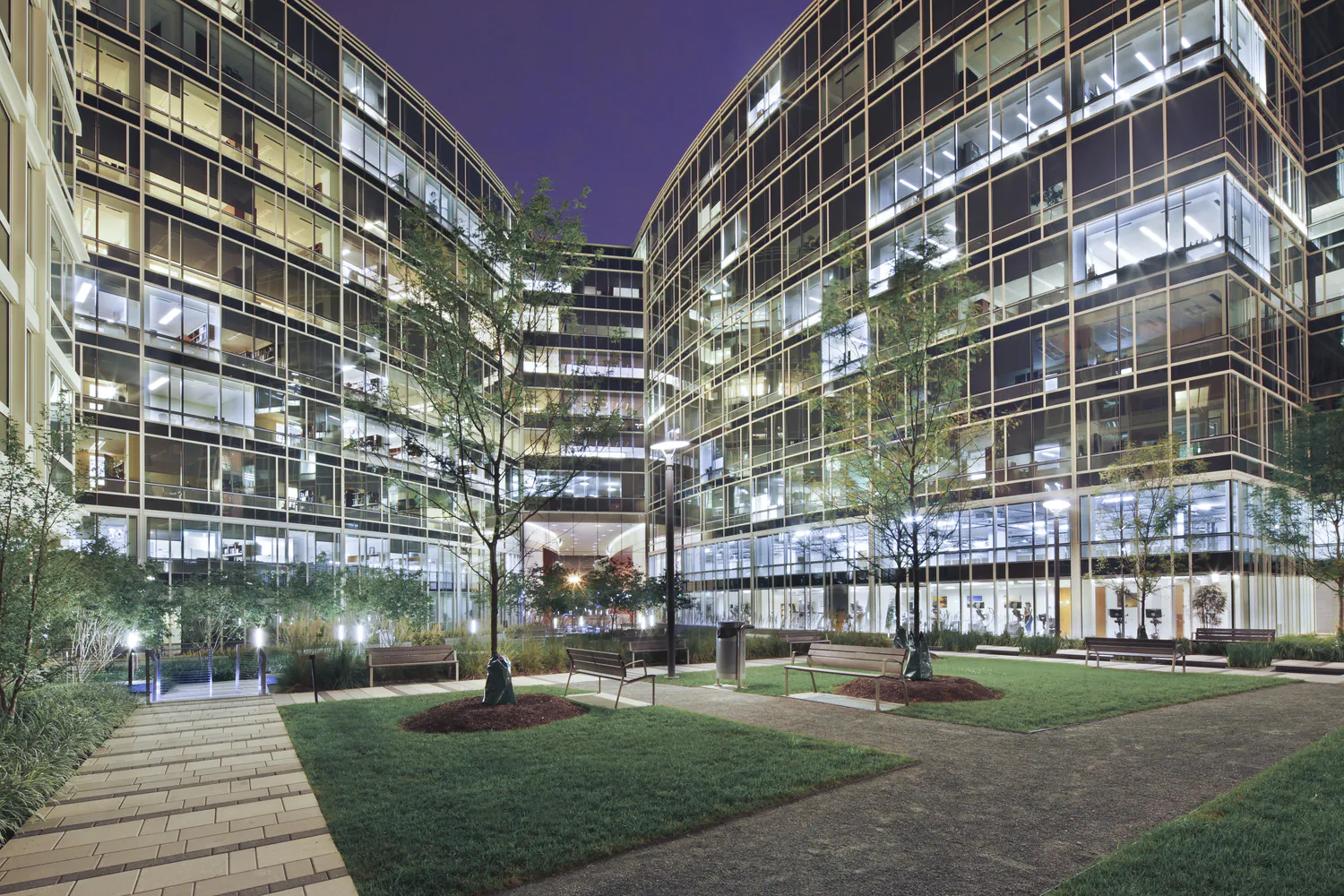
Real Estate and Commercial Development
We encourage community and stakeholder involvement, drawing on local knowledge, ideas, and aspirations to best understand the real and perceived market opportunities and constraints.
Explore Real Estate and Commercial Development -
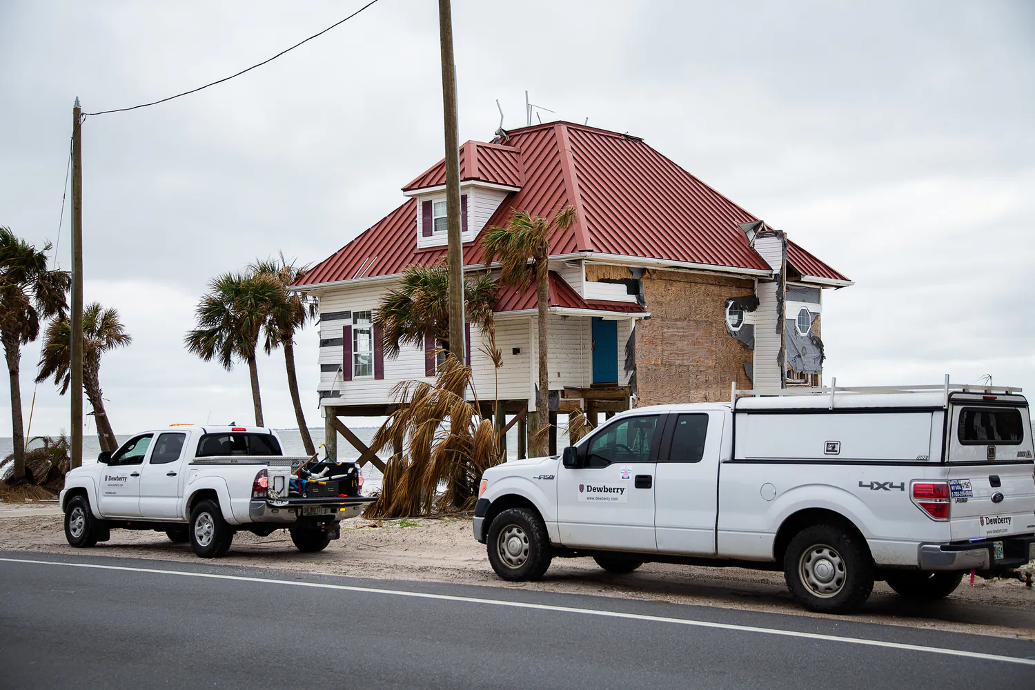
Risk, Response, Recovery, and Resilience
We help communities plan, prepare, and recover from disasters and changing climate impacts.
Explore Risk, Response, Recovery, and Resilience -
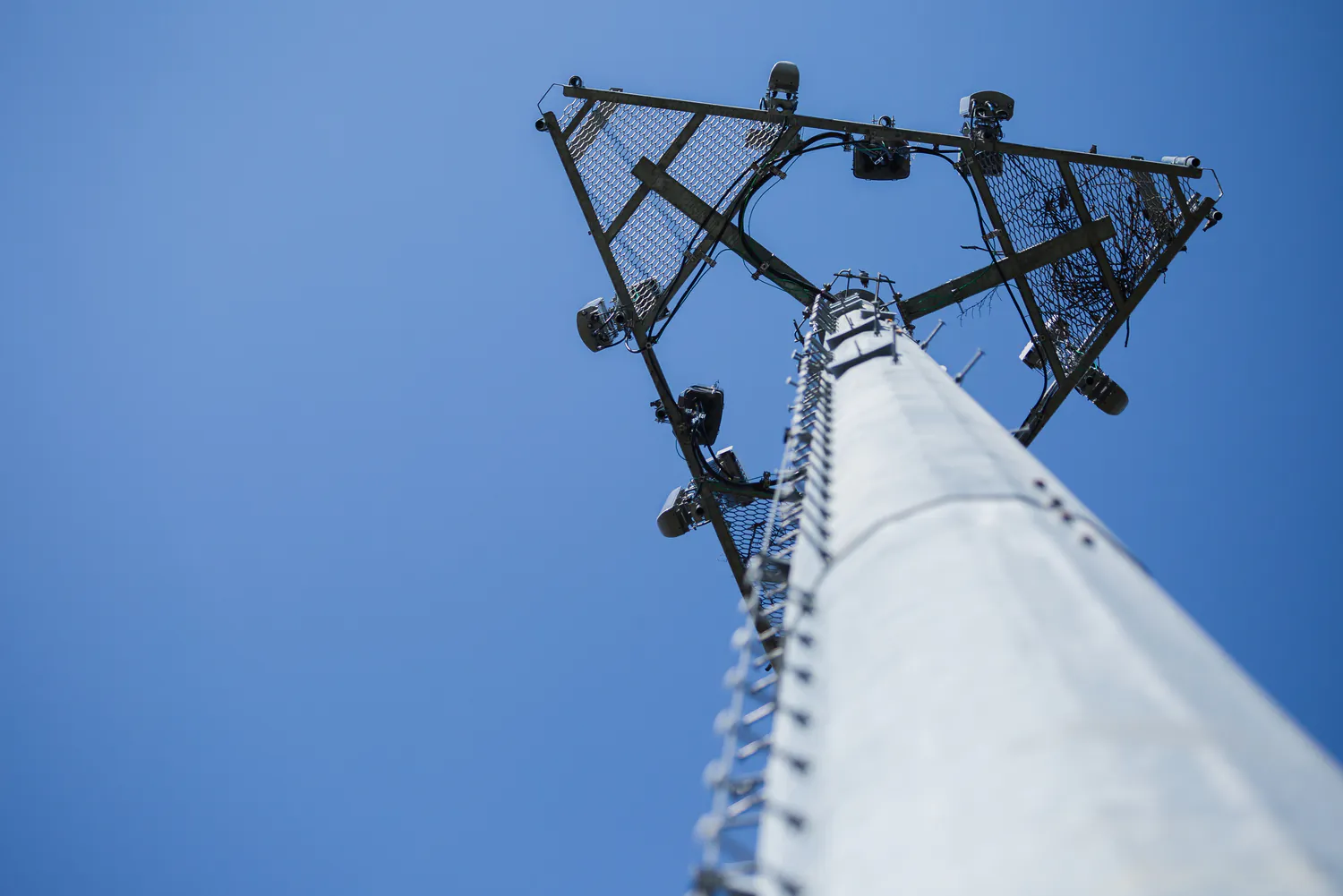
Telecommunications
We deliver turnkey solutions for wireless telecommunications infrastructure, optimizing for performance and reliability across a wide range of site types.
Explore Telecommunications -
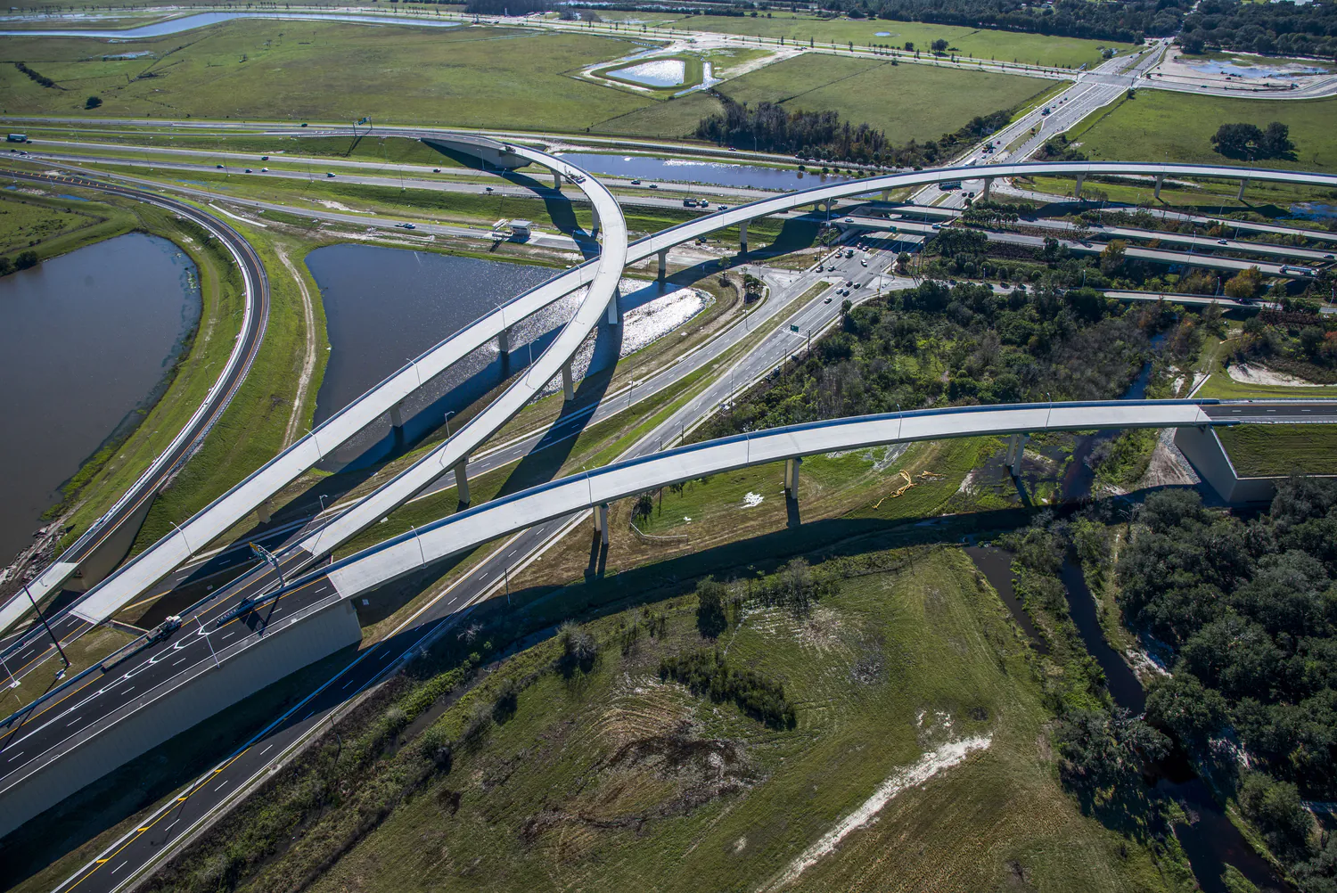
Transportation
With a commitment to safety and the efficient movement of people and goods, we approach each transportation project with technical excellence, quality, and cost-effective solutions.
Explore Transportation -
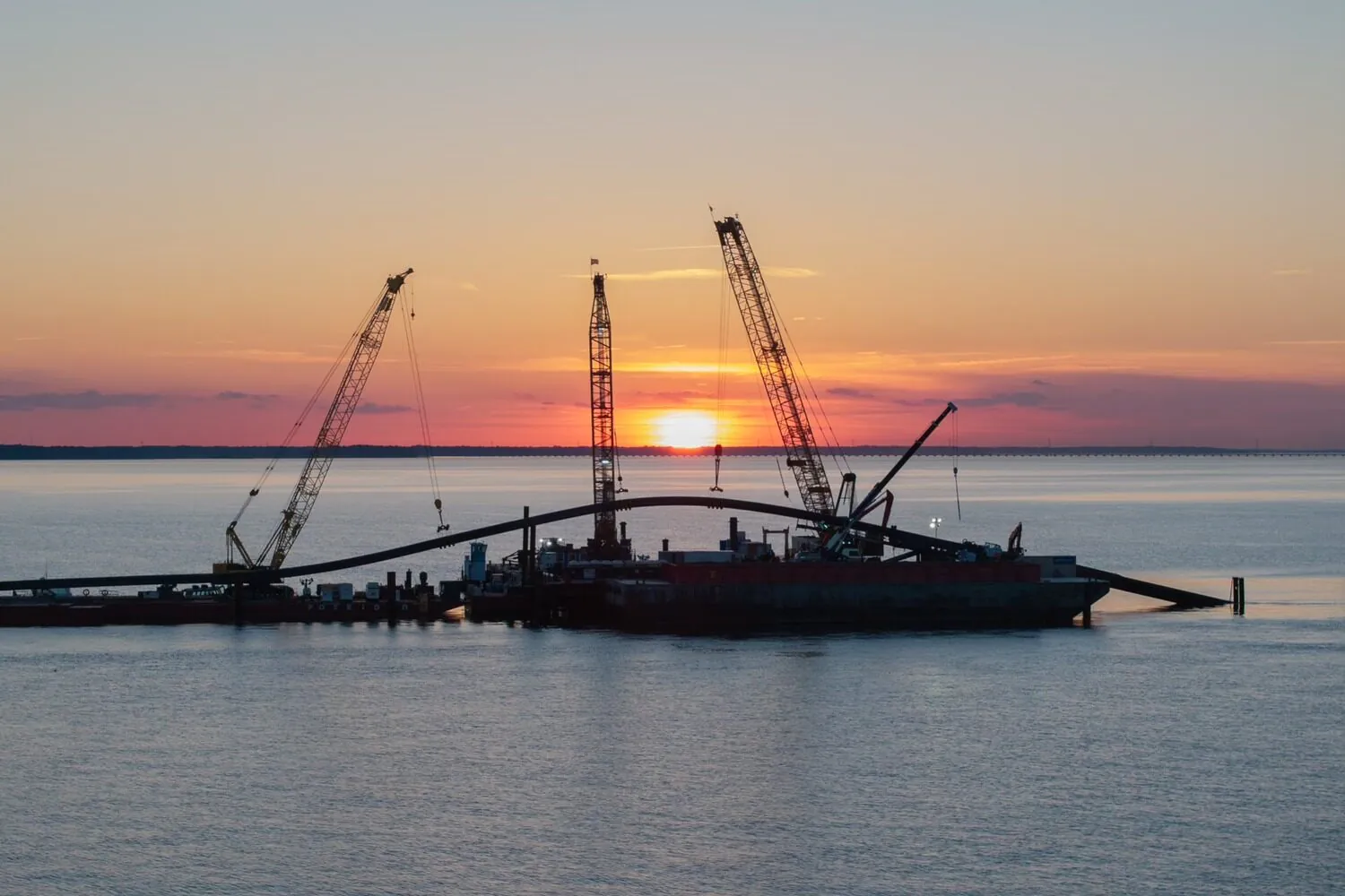
Water
Our water professionals combine deep technical experience with a client-focused approach. We deliver innovative, proven solutions to help solve today’s water challenges while improving quality of life for our clients and their customers.
Explore Water
Community Facilities
For more than 60 years, we've helped our clients create civic buildings and structures that advance quality of life, well-being, and safety.
Explore Community Facilities
Education
Education is evolving, and the environments that support it must evolve too. Across pre-K-12, community colleges, and higher education campuses, we design campuses and dynamic learning spaces that foster collaboration, enhance experiences, and prepare students for the future.
Explore Education
Energy
We support power generation, transmission, and renewable energy programs designed for reliability and the clean energy transition.
Explore Energy
Federal
We excel in delivering projects of critical national importance. As a family-owned firm with more than 2,500 employees, we're large enough to provide the capabilities needed and small enough to focus on client service and project delivery.
Explore Federal
Health and Wellness
Our designs balance patient-centered care with operational efficiency, empowering providers to deliver crucial services to their communities.
Explore Health and Wellness
Industrial
We meet our clients at the intersection of their technical and regulatory needs to strengthen operations and drive sustainable economic growth.
Explore Industrial
Justice
We are committed to transformative justice planning and design, focusing on the full spectrum of justice facilities, courthouses, behavioral health facilities, and secure housing.
Explore Justice
Real Estate and Commercial Development
We encourage community and stakeholder involvement, drawing on local knowledge, ideas, and aspirations to best understand the real and perceived market opportunities and constraints.
Explore Real Estate and Commercial Development
Risk, Response, Recovery, and Resilience
We help communities plan, prepare, and recover from disasters and changing climate impacts.
Explore Risk, Response, Recovery, and Resilience
Telecommunications
We deliver turnkey solutions for wireless telecommunications infrastructure, optimizing for performance and reliability across a wide range of site types.
Explore Telecommunications
Transportation
With a commitment to safety and the efficient movement of people and goods, we approach each transportation project with technical excellence, quality, and cost-effective solutions.
Explore Transportation
Water
Our water professionals combine deep technical experience with a client-focused approach. We deliver innovative, proven solutions to help solve today’s water challenges while improving quality of life for our clients and their customers.
Explore Water