New Coastal Flood Hazard Analysis for New Jersey
Protecting the New Jersey Shoreline
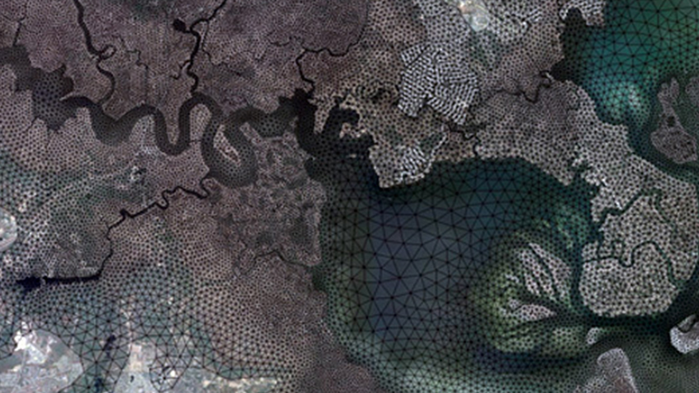
The coastal storm surge model will include hurricane, tropical, and extra-tropical storm selection and characterization, storm surge validation and modeling, and return period analyses.
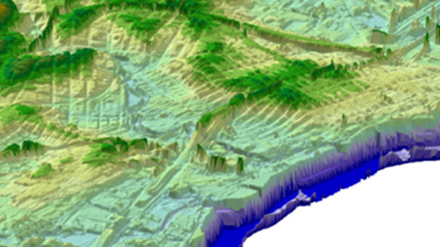
Overland wave modeling and mapping, including primary frontal dune delineation and erosion analyses will be included in the analysis.
- Client
- FEMA Region II
- Location
- New Jersey
- Services
- Geospatial, Mapping, and Survey
- Mileage
- 1,400 miles
- Region
- Northeast
As part of the Risk Assessment, Mapping, and Planning Partners (RAMPP) joint venture with URS and ESP Associates, we provided coastal flood hazard analyses and mapping for approximately 1,400 miles of shoreline in and around New Jersey. The study area included the Atlantic Ocean, Long Island Sound, New York Harbor, Raritan Bay, Delaware Bay, and their estuaries. New coastal storm surge and overland wave modeling and mapping, as well as updates to 10 county Digital Flood Insurance Rate Maps will be included.
Related Projects

- Location
- Gaithersburg, MD
- Location
- New York, NY
- Location
- Boone, NC
- Location
- New York, NY

- Location
- Nationwide
- Location
- Plant City, FL