
What to do With All the Lidar Data
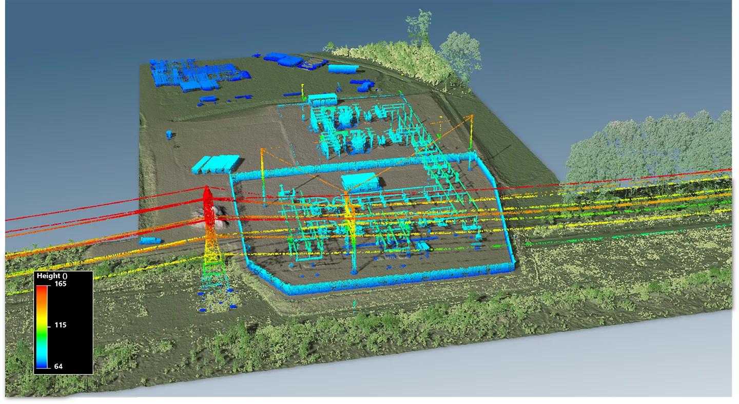
Al Karlin describes our work with the Southwest Florida Water Management District to construct digital elevation models to support updating hydrologic and hydraulic models for the Withlacoochee River. Through trial and error, it was found that no single solution could be applied to the small geographic regions when trying to integrate data from these sources. Rather, manual review and interpretation were key to achieving the project goals.
By Al Karlin
Published in xyHt Magazine, June 2022.
Read the Full Article (opens in a new tab)
Related Insights

November 16, 2026
Adapting Tide Gates to Rising Seas and Increasing Rainfall
Ashok Khadka and Rahul Parab
In this article, Ashok Khadka, PE, and Rahul Parab, PE, D.WRE, CFM, and New York City Department of Environmental Protection's (NYCDEP) Doug Greeley highlight a recent study conducted for the NYCDEP that evaluated the vulnerability of two Staten Island tide gates to extreme weather events and sea…

November 15, 2026
As I reflect on my first year working full time as a geospatial analyst, I realized I have learned far more than I thought I...
August 20, 2026
What Makes GIS a Strategic Tool for Electric Utilities?
Amanda Byrd and Andrew Dahlman
Electric power utilities face many challenges today — rising power and supply chain costs, sharply increasing demand from large loads like data centers, major changes in federal energy policies, and a growing imperative to invest in grid hardening and resilience.
Dimensions®
Our annual review and corporate social responsibility report, in one place.