
What is Seagrass Mapping?
Geospatial Analyst Ryan Ligon explains seagrass mapping in less than 90 seconds.
Related Insights

November 16, 2026
Adapting Tide Gates to Rising Seas and Increasing Rainfall
Ashok Khadka and Rahul Parab
In this article, Ashok Khadka, PE, and Rahul Parab, PE, D.WRE, CFM, and New York City Department of Environmental Protection's (NYCDEP) Doug Greeley highlight a recent study conducted for the NYCDEP that evaluated the vulnerability of two Staten Island tide gates to extreme weather events and sea…
September 14, 2026
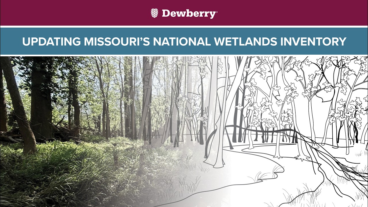
Project Manager Zac Winters explains his team's work to advance the National Wetlands Inventory for the Missouri Department of Conservation, using a combination of remote mapping and field work to identify and document wetlands across the state.
August 27, 2026
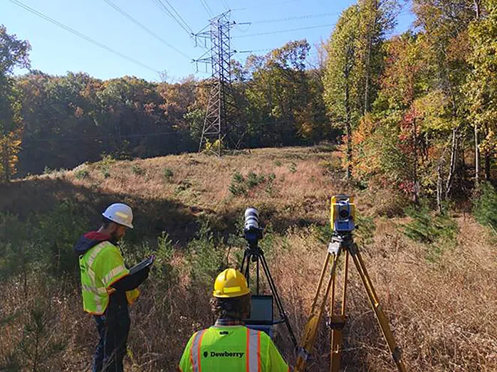
For decades, utilities have relied on mechanical calipers to measure transmission wire diameters. However, this approach requires survey crews to either climb transmission towers or maneuver heavy bucket trucks into energized zones, creating significant safety risks, operational challenges, and…
Dimensions®
Our annual review and corporate social responsibility report, in one place.