
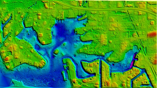
Surveying Inland Waterways: A Florida Case Study
Al Karlin, Emily Klipp, Amar Nayegandhi, and James F. Owens share how topobathymetric lidar presents a cost- and labor-efficient alternative to more conventional hydrographic mapping when considering inland waterways. The subject matter experts explore case studies in the topographically challenging inland waterways of Florida.
By Al Karlin, Emily Klipp, Amar Nayegandhi and James F. Owens
Published in Lidar Magazine, January 2021.
Read the Full Article (opens in a new tab)


Related Insights
November 16, 2026
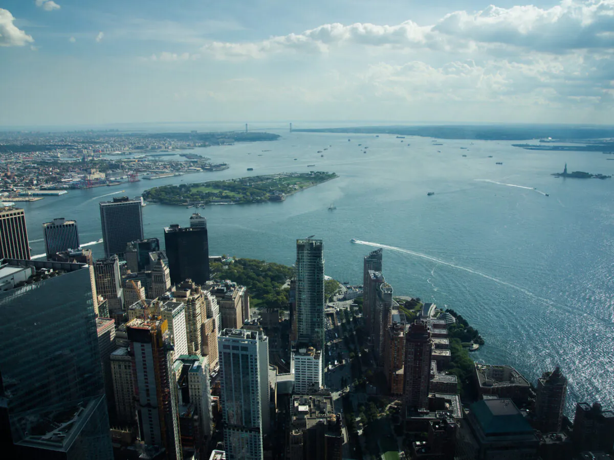
Adapting Tide Gates to Rising Seas and Increasing Rainfall
Ashok Khadka and Rahul Parab
In this article, Ashok Khadka, PE, and Rahul Parab, PE, D.WRE, CFM, and New York City Department of Environmental Protection's (NYCDEP) Doug Greeley highlight a recent study conducted for the NYCDEP that evaluated the vulnerability of two Staten Island tide gates to extreme weather events and sea…
September 24, 2026
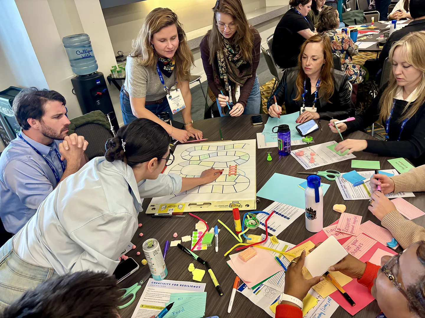
How Can We Leverage Creativity for Community Resilience?
Emily Mills and Elaine Montes
This year, National Preparedness Month focuses on getting back to the essentials of preparedness, starting with understanding community risk. For resilience planners, knowing the risk is only the beginning. We also need to communicate risk in ways that are clear, relevant, and actionable for…
September 14, 2026
Project Manager Zac Winters explains his team's work to advance the National Wetlands Inventory for the Missouri Department of Conservation, using a combination of remote mapping and field work to identify and document wetlands across the state.
Dimensions®
Our annual review and corporate social responsibility report, in one place.