
National Wetlands Inventory Program
Over the last few years, our firm has been awarded several National Wetlands Inventory (NWI) mapping projects. Established by the U.S. Fish and Wildlife Service, the NWI program provides information to the public on the status and trends of our nation's wetlands. NWI data is available to the public and provides valuable information for biologists, conservation efforts, habitat assessments, land management, and much more. While the mapping is conducted remotely, each project requires a field trip where analysts working on the project travel to the area of interest (AOI) to answer questions that may arise while mapping and to confirm classification protocols used across the project. Our analysts have visited Alaska, Pennsylvania, California, and Wyoming among other locations across the U.S.
Related Insights
November 16, 2026
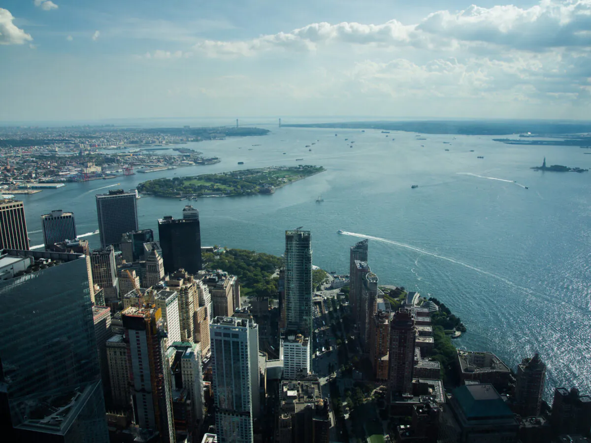
Adapting Tide Gates to Rising Seas and Increasing Rainfall
Ashok Khadka and Rahul Parab
In this article, Ashok Khadka, PE, and Rahul Parab, PE, D.WRE, CFM, and New York City Department of Environmental Protection's (NYCDEP) Doug Greeley highlight a recent study conducted for the NYCDEP that evaluated the vulnerability of two Staten Island tide gates to extreme weather events and sea…

November 15, 2026
As I reflect on my first year working full time as a geospatial analyst, I realized I have learned far more than I thought I...

November 15, 2026
Frock brings nearly 20 years of experience to leadership role, including three at Dewberry.
Dimensions®
Our annual review and corporate social responsibility report, in one place.