
My Project Story: Gray’s Reef National Marine Sanctuary, Best Fishing Practices Guide
Dewberry Senior Geospatial Technology Manager Sid Pandey shares about using Esri's Experience Builder tool to create a virtual engagement platform to help showcase best fishing practices for angler's in Georgia.
Related Insights

November 16, 2026
Adapting Tide Gates to Rising Seas and Increasing Rainfall
Ashok Khadka and Rahul Parab
In this article, Ashok Khadka, PE, and Rahul Parab, PE, D.WRE, CFM, and New York City Department of Environmental Protection's (NYCDEP) Doug Greeley highlight a recent study conducted for the NYCDEP that evaluated the vulnerability of two Staten Island tide gates to extreme weather events and sea…

November 15, 2026
As I reflect on my first year working full time as a geospatial analyst, I realized I have learned far more than I thought I...
August 20, 2026
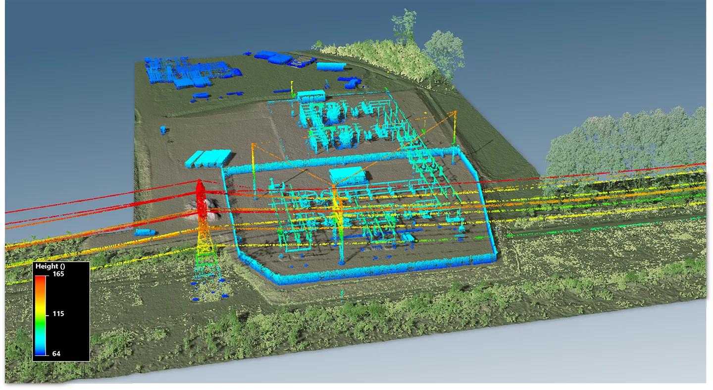
What Makes GIS a Strategic Tool for Electric Utilities?
Amanda Byrd and Andrew Dahlman
Electric power utilities face many challenges today — rising power and supply chain costs, sharply increasing demand from large loads like data centers, major changes in federal energy policies, and a growing imperative to invest in grid hardening and resilience.
Dimensions®
Our annual review and corporate social responsibility report, in one place.