The use of drones and unmanned aerial vehicles (UAVs) is expanding at an astounding rate, and recent advances in technology have made it more viable in the A/E/C industry than ever before. Still, in this world of autonomous technology, licensed drone pilots remain an essential component of the safety and viability of UAVs.
But what can a licensed drone pilot offer to an engineering firm?
All in the same day, a licensed drone pilot could make a significant impact on four unique projects.
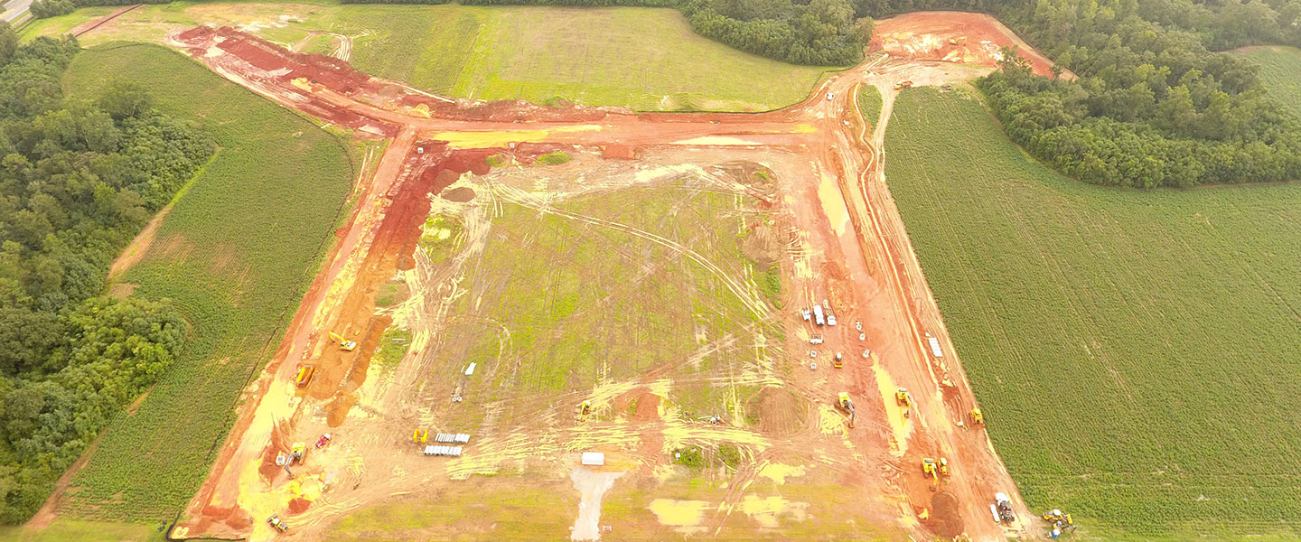
Site 1: Digital Terrain Modeling
A UAV pilot could start off by loading up their drone and collecting the day’s work tickets. Their first project of the day could be a shopping center that’s being developed where the site is still undeveloped raw ground. The pilot or the project’s survey crew would prepare ground targets for the drone which can serve as control points. The pilot would then take flight, taking several hundred photos in the matter of minutes before landing the drone to collect the data for a digital terrain model (DTM) that engineers can then use to create a design. The engineers can look over the data using an iPad to make sure the project looks viable on the terrain and in its given location, and suggest any necessary actions to move the project forward.
Site 2: Structural Analysis
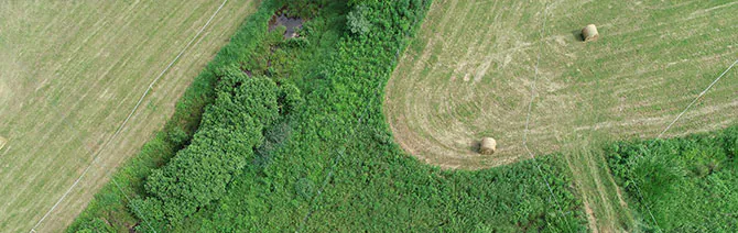
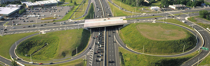
The pilot would then pack up and move to the next site, which, for example, could be a bridge in a congested downtown area. The genius of drone technology is that the pilot can circumnavigate the entire structure, including some very difficult to reach spots, with minimal impact to surrounding communities, traffic, and pedestrians. In this particular situation, conducting the analysis without the use of drones would require bucket trucks and lane shut downs-which can be a safety hazard as well as a large inconvenience to commuters.
Using oblique imagery, the licensed pilot can identify the quality of the steel, the separation, the expansion joints, check if anything is rusted, and identify any other signs of fatigue on the structure. A pilot can perform several tasks at a safe distance, and unless somebody sees the drone when they’re driving by, they are likely to not even notice the engineer. The goal of a lot of drone usage in our industry is not so much spatial mapping as it’s informational, high-resolution, and high-quality photographs for engineers to work with.
Site 3: Potentially Hazardous Site Photography
The third stop of the day could be an electrical power substation where the application of a drone could help avoid shutting down the station and moving the expensive and often very heavy electrical equipment. In addition to any photos taken, the pilot could conduct a DTM or even high-resolution videography, all without requiring an engineer to enter the potentially hazardous site.
Site 4: Material Estimations
UAVs have also made the engineering community more efficient with large-quantity material estimates. For example, as a final stop for the day, a licensed drone pilot could be deployed to a quarry where demolition teams have blasted out large quantities of rock. The quarry owners would likely want to get a quantity estimation of the rubble in their pit. Using a drone, the licensed pilot could provide the client with a verified and certified statement of their stockpile.
All in a Day’s Work
All in a day’s work, a licensed drone pilot could employ four similar, yet unrelated uses of their drone in one busy day. However, uses for drone uses are not limited to these four capabilities. The current and potential uses of drones is expanding rapidly, including-but not limited to-applications for work on rooftops, mapping and analysis for cell towers, and planning and siting for radio frequency (RF) towers. No pun intended, the sky really is the limit, and engineers should be excited for what our professional communities can achieve next.