Skip to Content

Dewberry Selected to Provide QA/QC of Maine Map Data

Firm will provide independent review of lidar data spanning 8,743 square miles.

Maine Lidar

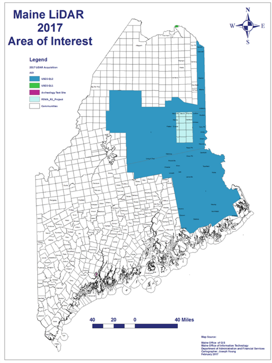
Dewberry has been selected by the Maine GeoLibrary and Maine Office of GIS (MeGIS) to provide an independent review of lidar acquisition procedures, lidar data, and final deliverables for 8,743 square miles in eastern and central Maine. The data and related tools, which will be acquired and processed by Quantum Spatial, will be used by state and federal agencies in flood risk management, water resource planning, mitigation of coastal erosion and storm surge impacts, identification of landslide hazards, and efforts to support climate resilience.

In addition to several state agencies, the project’s primary funding partners include the Maine Natural Resources Conservation Service; Pattern, Inc.; Seven Islands Land Company; the U.S. Geological Survey (USGS); and the Cooperative Forestry Research Unit. All of the lidar data acquisition, processing, and deliverables will meet the requirements of the USGS National Geospatial Program Lidar Base Specification Version 1.2.

Related Insights

Aerial view of New York City skyscrapers, Hudson River, and Statue of Liberty on a sunny day with scattered clouds

November 16, 2026

In this article, Ashok Khadka, PE, and Rahul Parab, PE, D.WRE, CFM, and New York City Department of Environmental Protection's (NYCDEP) Doug Greeley highlight a recent study conducted for the NYCDEP that evaluated the vulnerability of two Staten Island tide gates to extreme weather events and sea…

Publication

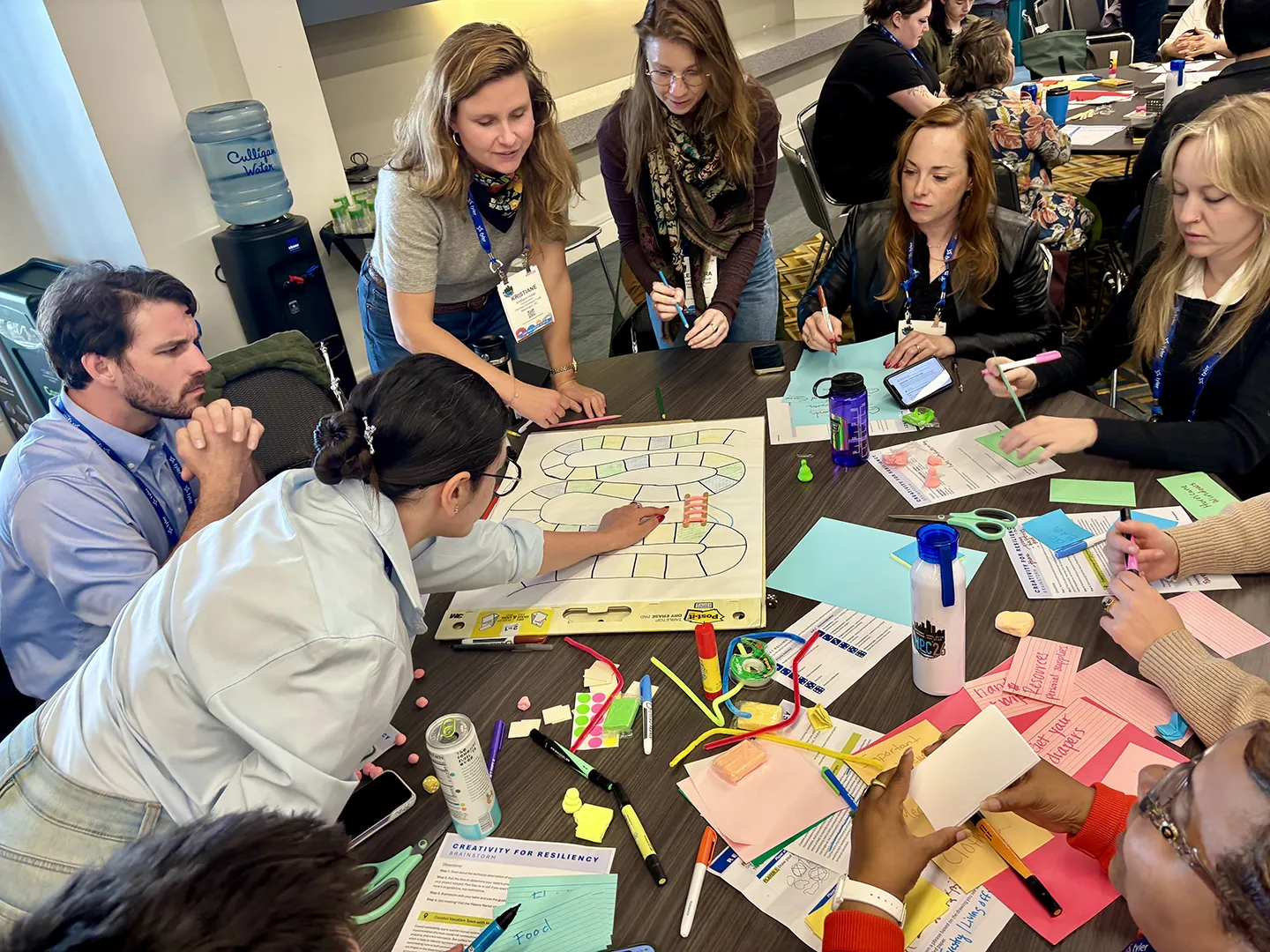
Working in groups, participants developed creative prototypes, including collages, games, plays, parks, fairs, and other engagement tools, to inspire community action.

September 24, 2026

This year, National Preparedness Month focuses on getting back to the essentials of preparedness, starting with understanding community risk. For resilience planners, knowing the risk is only the beginning. We also need to communicate risk in ways that are clear, relevant, and actionable for…

Blog

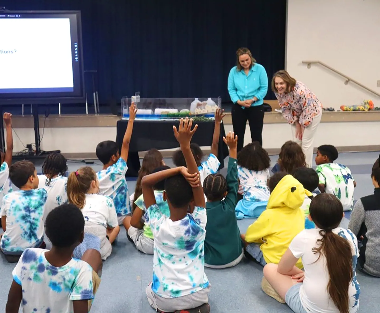
Following an urban heat assessment and resilience planning project, we supported Hillsborough County’s “Classroom to Canopy” event, where we conducted a classroom demo of coastal flooding and a tree planting activity onsite.

September 9, 2026

Florida’s recent experience dealing with climate challenges has led to a greater understanding of what action is needed to build towards a more resilient future. These lessons learned help to inform Florida’s resilience playbook and have spurred innovation to tackle some of the state’s most…

Blog

Media Contact

Molly Johnson

Molly Johnson

Chief Communications Officer

View Media Fact Sheet

Media and trade publications are permitted to use “Dewberry” as a shorthand to reference a particular Dewberry company. Third parties are not permitted to use Dewberry’s federally registered trademarks without Dewberry’s written consent.